3 Kentmere Drive, Wirral, CH61 5XN
About 3 Kentmere Drive
3 Kentmere Drive is a two-bedroom semi-detached house in Wirral (CH61 5XN). It has a recorded floor area of 77 m² (around 829 sq ft), construction records dating it to 1967-1975 and council tax band B. The latest certificate (February 2024) shows a D (score 60), on the cusp of jumping into the C band. The recommended improvements would lift it to B (score 84), a 2-band jump. Main heating runs on electricity. Our model identifies extension potential, subject to local planning policy.
It changed hands recently, sold May 2025 for £185,000. Today's modelled estimate of £221,000 is 19.5% above the 2025 sale price. On a £-per-square-foot basis, the last sale (£223/sq ft) was about 50.1% above the typical sold price in the postcode.
What this property has
Inside
- Bedrooms2
- Bathrooms2
- CloakroomYes
Outside
- DrivewayYes
Building
- Extension potentialPossible
Everything you need to know about 3 Kentmere Drive
The true value, the hidden risks and the full sale history, in one report.
30-day money-back guarantee

The data behind every report


Energy performance
Recommended upgrades on file would lift this property by multiple EPC bands.
EPC Rating
Planning history
3 Kentmere Drive has no planning applications on record.
The full report still covers planning activity across the surrounding area.
Sales history & valuation
3 Kentmere Drive valuation sits well clear of the typical sold price in this postcode.
£221,000
Modelled from EPC, postcode comparables.
£185,000
Recorded with HM Land Registry.
Sales timeline
27 May 2025Most recent
£185,000
Median price across the last 5 sales in CH61 5XN: £238,000 (2023–2016).
Nearby sales in CH61 5XN
Versus other Kentmere Drive homes
Years Held for 3 Kentmere Drive lags the street by a wide margin.
Price per m²
£2,403
Street avg £1,975
Floor Area
77 m²
Street avg 90 m²
Habitable Rooms
4 rooms
Street avg 4 rooms
CO₂ Emissions
5.5 t/year
Street avg 4.1 t/year
Everything you need to know about 3 Kentmere Drive
The true value, the hidden risks and the full sale history, in one report.
30-day money-back guarantee
The data behind every report
Similar properties nearby
The neighbourhood at a glance
Daytime road noise here sits well below conversation level — a quiet pocket of the postcode.
Crime
2/mo
Steady year-on-year across the wider district.
Nearest stop
0.1 km
Rosemead Avenue — bus stop.
Closest school
0.3 km
Pensby Primary School. 10 schools nearby.
Go deeper on the local area
The full report breaks down crime, transport links, schools and air quality in depth.
Road noise across the postcode
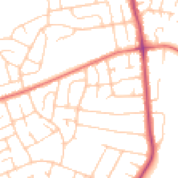
Daytime· 07:00 – 23:00
49.7dB

Night-time· 23:00 – 07:00
39.0dB