33 Kentmere Drive, Wirral, CH61 5XN
About 33 Kentmere Drive
33 Kentmere Drive is a two-bedroom semi-detached house in Wirral (CH61 5XN). It has a recorded floor area of 80 m² (around 861 sq ft), construction records dating it to 1967-1975 and council tax band C. Tenure is freehold. The latest certificate (June 2016) shows a D (score 57), a step below the typical UK home. The recommended improvements would lift it to B (score 85), a 2-band jump. The latest certificate is from June 2016, so improvements made since then won't be reflected. Other recorded features include a conservatory.
Across 2016–2022, sale prices on this property compounded at 6.5% per year. On a £-per-square-foot basis, the last sale (£290/sq ft) was about 96.2% above the typical sold price in the postcode. Most recent transfer: October 2022 at £250,000. That sale was during the post-pandemic price surge, when transactions cleared materially above pre-2020 trend.
What this property has
Inside
- Bedrooms2
- Bathrooms1
- Dining roomYes
- CloakroomYes
- ConservatoryYes
- FireplaceYes
Outside
- Private gardenRear
Building
- TenureFreehold
- RefurbishedYes
Everything you need to know about 33 Kentmere Drive
The true value, the hidden risks and the full sale history, in one report.
30-day money-back guarantee

The data behind every report


Energy performance
Recommended upgrades on file would lift this property by multiple EPC bands.
EPC Expired
This certificate is over 10 years old and is no longer valid.Expired 14 Jun 2026
EPC Rating
Planning history
33 Kentmere Drive has no planning applications on record.
The full report still covers planning activity across the surrounding area.
Sales history & valuation
Latest sale on 33 Kentmere Drive was the highest on Land Registry record across the postcode.
£263,000
Modelled from EPC, postcode comparables and a sale-price growth of 6.5% per year over 6 years.
£250,000
Growth on file: 6.5% per year over 6 years.
Sales timeline
17 October 2022Most recent
£250,000
+48.8%over 6 years11 July 2016
£168,000
Median price across the last 5 sales in CH61 5XN: £203,000 (2025–2013).
Nearby sales in CH61 5XN
Versus other Kentmere Drive homes
33 Kentmere Drive outperforms the street on price per m² by a wide margin.
Price per m²
£3,125
Street avg £1,855
Floor Area
80 m²
Street avg 90 m²
Habitable Rooms
4 rooms
Street avg 4 rooms
CO₂ Emissions
4.6 t/year
Street avg 4.2 t/year
Everything you need to know about 33 Kentmere Drive
The true value, the hidden risks and the full sale history, in one report.
30-day money-back guarantee
The data behind every report
Similar properties nearby
The neighbourhood at a glance
Daytime road noise here sits well below conversation level — a quiet pocket of the postcode.
Crime
2/mo
Steady year-on-year across the wider district.
Nearest stop
0.1 km
Rosemead Avenue — bus stop.
Closest school
0.3 km
Pensby Primary School. 10 schools nearby.
Go deeper on the local area
The full report breaks down crime, transport links, schools and air quality in depth.
Road noise across the postcode
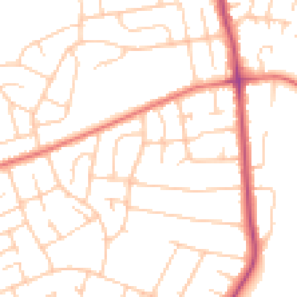
Daytime· 07:00 – 23:00
49.7dB

Night-time· 23:00 – 07:00
39.0dB