Skip to content

27 Kentmere Drive, Wirral, CH61 5XN

Property type
Semi-detached
Bedrooms
2
Bathrooms
2
Floor area
112 m²
1206 sq ft
Energy rating
C
Score 71
Council tax
Band C
Tenure
Owner Occupied
Overview

About 27 Kentmere Drive

A plain-English summary derived from public records, EPC certificates, sold prices and local data.

27 Kentmere Drive is a two-bedroom semi-detached house in Wirral (CH61 5XN). It has a recorded floor area of 112 m² (around 1206 sq ft), construction records dating it to 1976-1982 and council tax band C. Other recorded features include a conservatory. The latest certificate (July 2023) shows a C (score 71). The recommended improvements would push it to B (score 86).

It hasn't traded since August 2004, a hold of 22 years that's notably long for the area. At 112 m² the property is well over the postcode median (84 m² across 16 EPCs), placing it in the larger end of the local stock. Across 1999–2004, sale prices on this property compounded at 20.7% per year. Today's modelled estimate of £266,000 sits 71.6% above the 2004 sale of £155,000. On a £-per-square-foot basis, the last sale (£129/sq ft) was about 15.5% below the postcode norm.

Specifications

What this property has

Pulled from EPC certificates, claim submissions and our property model. Empty categories are hidden — we only show what's known.

Inside

  • Bedrooms2
  • Bathrooms2
  • Dining roomYes
  • EnsuiteYes
  • ConservatoryYes
Before you decide

Everything you need to know about 27 Kentmere Drive

The true value, the hidden risks and the full sale history, in one report.

£14.99one-off

30-day money-back guarantee

Preview of the full property report

The data behind every report

  • HM Land Registry, source of sold price history
  • Department for Education, source of schools data
  • Police.uk, source of crime statistics
  • Department for Transport, source of stations and transport links
  • Environment Agency, source of flood risk data
  • Department for Environment, Food & Rural Affairs, source of road noise data
  • PlanIt, source of planning application records
  • Beautiful Places, source of nearby scenic places
Energy

Energy performance

Every EPC certificate filed against this property — current rating, recorded improvements, and where there's headroom to reach a higher band.

EPC Rating

A
B
C
C71
D
E
F
G
Main Heating
Gas
Main Fuel
Gas
Hot Water
Good
Windows
Good
CO2 Emissions
3.7 t/year
Occupancy
Owner Occupied
Planning

Planning history

Applications and permits filed against 27 Kentmere Drive, Wirral, CH61 5XN, sourced from the PlanIt planning register.

27 Kentmere Drive has no planning applications on record.

The full report still covers planning activity across the surrounding area.

Price

Sales history & valuation

Recorded transactions, our model's current estimate, and a quick read on what neighbouring properties have sold for.

Sale price has at least doubled since 1999.

Current estimate

£266,000

Modelled from EPC, postcode comparables and a sale-price growth of 20.7% per year over 5 years.

See how we calculated this
Last sold (2004)

£155,000

Growth on file: 20.7% per year over 5 years.

Sales timeline

  1. 23 August 2004Most recent

    £155,000

    +150.0%over 4 years
  2. 14 October 1999

    £62,000

Median price across the last 5 sales in CH61 5XN: £238,000 (2025–2017).

On the street

Versus other Kentmere Drive homes

Four headline reads against 16 similar houses on this street, drawn from the latest EPC and Land Registry data.

27 Kentmere Drive is notably below the street on price per m².

Price per m²

£1,384

Street avg £2,145

Strongly below

Floor Area

112 m²

Street avg 88 m²

Strongly above

Habitable Rooms

5 rooms

Street avg 4 rooms

Strongly above

CO₂ Emissions

3.7 t/year

Street avg 4.2 t/year

On par
Before you decide

Everything you need to know about 27 Kentmere Drive

The true value, the hidden risks and the full sale history, in one report.

£14.99one-off

30-day money-back guarantee

Preview of the full property report

The data behind every report

  • HM Land Registry, source of sold price history
  • Department for Education, source of schools data
  • Police.uk, source of crime statistics
  • Department for Transport, source of stations and transport links
  • Environment Agency, source of flood risk data
  • Department for Environment, Food & Rural Affairs, source of road noise data
  • PlanIt, source of planning application records
  • Beautiful Places, source of nearby scenic places
Area

The neighbourhood at a glance

A condensed read of the local area. Each tile links through to the full breakdown on the Wirral district page.

Daytime road noise here sits well below conversation level — a quiet pocket of the postcode.

Crime

2/mo

Steady year-on-year across the wider district.

Nearest stop

0.1 km

Rosemead Avenue — bus stop.

Closest school

0.3 km

Pensby Primary School. 10 schools nearby.

Go deeper on the local area

The full report breaks down crime, transport links, schools and air quality in depth.

Noise

Road noise across the postcode

Modelled day and night-time noise levels around CH61 5XN from Defra's strategic mapping. The pin marks this postcode's centroid.
Daytime road noise heatmap for CH61 5XN

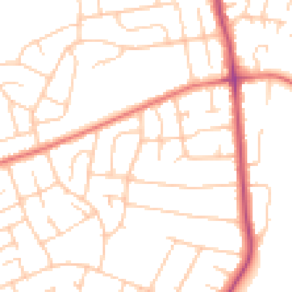
Daytime· 07:00 – 23:00

49.7dB

Low
Night-time road noise heatmap for CH61 5XN

Night-time· 23:00 – 07:00

39.0dB

Low
55 dB
60 dB
65 dB
70 dB
75 dB
80 dB
Defra Road Noise Strategic Mapping, Round 4
FAQ

Common questions

The questions buyers, sellers and homeowners most often ask about 27 Kentmere Drive, Wirral, CH61 5XN. Each answer is also embedded as structured data for search engines.