29 Nicholls Drive, Wirral, CH61 5XD
About 29 Nicholls Drive
29 Nicholls Drive is a three-bedroom semi-detached house in Wirral (CH61 5XD). It has a recorded floor area of 100 m² (around 1076 sq ft), construction records dating it to 1950-1966 and council tax band C. The latest certificate (December 2025) shows a D (score 66), on the cusp of jumping into the C band. Earlier certificates rated it C (May 2012); the latest reading is one band lower. Between certificates, roof efficiency went from Good to Very Good and lighting went from Average to Good. The recommended improvements would push it to C (score 78). This certificate was lodged in the last six months, so the rating reflects current condition.
Across 2001–2019, sale prices on this property compounded at 4.6% per year. Today's modelled estimate of £262,000 is 39.7% above the 2019 sale price. Last sale on file: £187,500 in March 2019.
What this property has
Inside
- Bedrooms3
Everything you need to know about 29 Nicholls Drive
The true value, the hidden risks and the full sale history, in one report.
30-day money-back guarantee

The data behind every report


Energy performance
The EPC has just been inspected, so the rating reflects current condition.
EPC Rating
Property Improvements
Changes detected from historical EPC data
Loft insulation upgraded to recommended levels
More low energy lighting installed
Planning history
29 Nicholls Drive has no planning applications on record.
The full report still covers planning activity across the surrounding area.
Sales history & valuation
29 Nicholls Drive has more than doubled in price since the earliest registered sale in 2001.
£262,000
Modelled from EPC, postcode comparables and a sale-price growth of 4.6% per year over 18 years.
£187,500
Growth on file: 4.6% per year over 18 years.
Sales timeline
29 March 2019Most recent
£187,500
+123.2%over 17 years3 July 2001
£84,000
Median price across the last 5 sales in CH61 5XD: £225,000 (2024–2017).
Nearby sales in CH61 5XD
Versus other Nicholls Drive homes
Floor Area for 29 Nicholls Drive runs comfortably ahead of the street norm.
Price per m²
£1,875
Street avg £2,248
Floor Area
100 m²
Street avg 84 m²
Habitable Rooms
4 rooms
Street avg 4 rooms
CO₂ Emissions
3.2 t/year
Street avg 3.4 t/year
Everything you need to know about 29 Nicholls Drive
The true value, the hidden risks and the full sale history, in one report.
30-day money-back guarantee
The data behind every report
Similar properties nearby
The neighbourhood at a glance
Daytime road noise here sits well below conversation level — a quiet pocket of the postcode.
Crime
2/mo
Steady year-on-year across the wider district.
Nearest stop
0.1 km
Rosemead Avenue — bus stop.
Closest school
0.3 km
Ladymount Catholic Primary School. 10 schools nearby.
Go deeper on the local area
The full report breaks down crime, transport links, schools and air quality in depth.
Road noise across the postcode
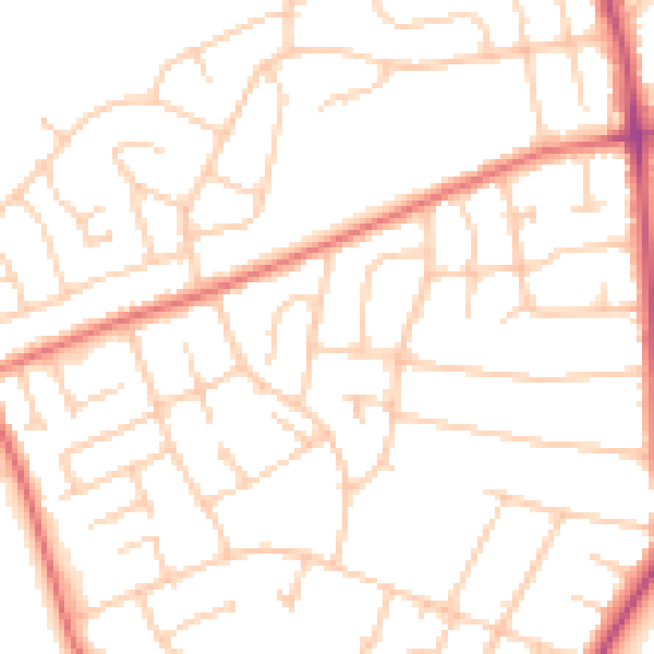
Daytime· 07:00 – 23:00
49.8dB

Night-time· 23:00 – 07:00
38.7dB