5 Benty Farm Grove, Wirral, CH61 3YB
About 5 Benty Farm Grove
5 Benty Farm Grove is a three-bedroom detached house in Wirral (CH61 3YB). It has a recorded floor area of 81 m² (around 872 sq ft), construction records dating it to 1967-1975 and council tax band E. The latest certificate (April 2012) shows an E (score 52), well below the UK norm with real room to improve. The recommended improvements would lift it to B (score 85), a 3-band jump. The latest certificate is from April 2012, so improvements made since then won't be reflected.
Today's modelled estimate of £355,000 sits 74.9% above the 2013 sale of £203,000. It lags the bulk of the postcode on energy efficiency (less efficient than 83% of similar EPCs). Last changed hands 13 years ago, in January 2013.
What this property has
Inside
- Bedrooms3
- Dining roomYes
Outside
- Private gardenYes
- ParkingOff road
Building
- RefurbishedYes
Everything you need to know about 5 Benty Farm Grove
The true value, the hidden risks and the full sale history, in one report.
30-day money-back guarantee

The data behind every report


Energy performance
Recommended upgrades on file would lift this property by multiple EPC bands.
EPC Expired
This certificate is over 10 years old and is no longer valid.Expired 04 Apr 2022
EPC Rating
Planning history
5 Benty Farm Grove has no planning applications on record.
The full report still covers planning activity across the surrounding area.
Sales history & valuation
5 Benty Farm Grove valuation sits well clear of the typical sold price in this postcode.
£355,000
Modelled from EPC, postcode comparables.
£203,000
Recorded with HM Land Registry.
Sales timeline
16 January 2013Most recent
£203,000
Median price across the last 5 sales in CH61 3YB: £272,000 (2024–2018).
Nearby sales in CH61 3YB
Versus other Benty Farm Grove homes
Years Held for 5 Benty Farm Grove runs comfortably ahead of the street norm.
Price per m²
£2,506
Street avg £3,313
Floor Area
81 m²
Street avg 85 m²
Habitable Rooms
3 rooms
Street avg 4 rooms
CO₂ Emissions
5.2 t/year
Street avg 4.1 t/year
Everything you need to know about 5 Benty Farm Grove
The true value, the hidden risks and the full sale history, in one report.
30-day money-back guarantee
The data behind every report
Similar properties nearby
1 The Close, Irby
CH61 3UJ
1 Elm Road, Irby
CH61 3UP
10 Benty Farm Grove
CH61 3YB
10 Barker Road
CH61 3XH
1 Leafield Close
CH61 3XZ
10 Anderson Close
CH61 3UU
1 Brian Avenue
CH61 3UX
1 Roslin Road
CH61 3UH
The neighbourhood at a glance
Crime
2/mo
Steady year-on-year across the wider district.
Nearest stop
0.1 km
Cornelius Drive — bus stop.
Closest school
0.6 km
Thingwall Primary School. 15 schools nearby.
Go deeper on the local area
The full report breaks down crime, transport links, schools and air quality in depth.
Road noise across the postcode
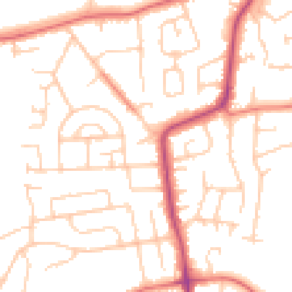
Daytime· 07:00 – 23:00
50.2dB
Night-time· 23:00 – 07:00
39.5dB