Skip to content

59 Barnsdale Avenue, Wirral, CH61 1BE

Property type
Semi-detached
Habitable rooms
4
From EPC
Floor area
103 m²
1113 sq ft
Energy rating
C
Score 70
Council tax
Band C
Tenure
Owner Occupied
Overview

About 59 Barnsdale Avenue

A plain-English summary derived from public records, EPC certificates, sold prices and local data.

59 Barnsdale Avenue is a semi-detached house in Wirral (CH61 1BE). It has a recorded floor area of 103 m² (around 1113 sq ft), construction records dating it to 1950-1966 and council tax band C. The latest certificate (May 2009) shows a C (score 70). The latest certificate is from May 2009, so improvements made since then won't be reflected.

Held since September 2003 — that's 23 years off the open market, well above the local norm. Today's modelled estimate of £291,000 sits 112.4% above the 2003 sale of £137,000. On a £-per-square-foot basis, the last sale (£123/sq ft) was about 50.2% below the postcode norm.

Before you decide

Everything you need to know about 59 Barnsdale Avenue

The true value, the hidden risks and the full sale history, in one report.

£14.99one-off

30-day money-back guarantee

Preview of the full property report

The data behind every report

  • HM Land Registry, source of sold price history
  • Department for Education, source of schools data
  • Police.uk, source of crime statistics
  • Department for Transport, source of stations and transport links
  • Environment Agency, source of flood risk data
  • Department for Environment, Food & Rural Affairs, source of road noise data
  • PlanIt, source of planning application records
  • Beautiful Places, source of nearby scenic places
Energy

Energy performance

Every EPC certificate filed against this property — current rating, recorded improvements, and where there's headroom to reach a higher band.

59 Barnsdale Avenue's EPC is over a decade old — improvements since won't be reflected.

EPC Expired

This certificate is over 10 years old and is no longer valid.Expired 13 May 2019

EPC Rating

A
B
C
C70
D
E
F
G
Main Heating
Gas
Main Fuel
Gas
Hot Water
Good
Windows
Poor
CO2 Emissions
3.4 t/year
Occupancy
Owner Occupied
Planning

Planning history

Applications and permits filed against 59 Barnsdale Avenue, Wirral, CH61 1BE, sourced from the PlanIt planning register.

59 Barnsdale Avenue has no planning applications on record.

The full report still covers planning activity across the surrounding area.

Price

Sales history & valuation

Recorded transactions, our model's current estimate, and a quick read on what neighbouring properties have sold for.

59 Barnsdale Avenue valuation sits well clear of the typical sold price in this postcode.

Current estimate

£291,000

Modelled from EPC, postcode comparables.

See how we calculated this
Last sold (2003)

£137,000

Recorded with HM Land Registry.

Sales timeline

  1. 18 September 2003Most recent

    £137,000

Median price across the last 5 sales in CH61 1BE: £310,250 (2025–2023).

On the street

Versus other Barnsdale Avenue homes

Four headline reads against 11 similar houses on this street, drawn from the latest EPC and Land Registry data.

59 Barnsdale Avenue is notably below the street on price per m².

Price per m²

£1,325

Street avg £2,816

Strongly below

Floor Area

103 m²

Street avg 97 m²

Strongly above

Habitable Rooms

4 rooms

Street avg 5 rooms

Below

CO₂ Emissions

3.4 t/year

Street avg 3.5 t/year

On par
Before you decide

Everything you need to know about 59 Barnsdale Avenue

The true value, the hidden risks and the full sale history, in one report.

£14.99one-off

30-day money-back guarantee

Preview of the full property report

The data behind every report

  • HM Land Registry, source of sold price history
  • Department for Education, source of schools data
  • Police.uk, source of crime statistics
  • Department for Transport, source of stations and transport links
  • Environment Agency, source of flood risk data
  • Department for Environment, Food & Rural Affairs, source of road noise data
  • PlanIt, source of planning application records
  • Beautiful Places, source of nearby scenic places
Area

The neighbourhood at a glance

A condensed read of the local area. Each tile links through to the full breakdown on the Wirral district page.

Crime

2/mo

Steady year-on-year across the wider district.

Nearest stop

0.3 km

Sparks Lane — bus stop.

Closest school

0.6 km

Thingwall Primary School. 13 schools nearby.

Go deeper on the local area

The full report breaks down crime, transport links, schools and air quality in depth.

Noise

Road noise across the postcode

Modelled day and night-time noise levels around CH61 1BE from Defra's strategic mapping. The pin marks this postcode's centroid.
Daytime road noise heatmap for CH61 1BE

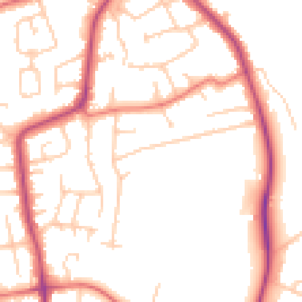
Daytime· 07:00 – 23:00

50.8dB

Low
Night-time road noise heatmap for CH61 1BE

Night-time· 23:00 – 07:00

41.3dB

Low
55 dB
60 dB
65 dB
70 dB
75 dB
80 dB
Defra Road Noise Strategic Mapping, Round 4
FAQ

Common questions

The questions buyers, sellers and homeowners most often ask about 59 Barnsdale Avenue, Wirral, CH61 1BE. Each answer is also embedded as structured data for search engines.