21 Low Wood Grove, Wirral, CH61 1AN
About 21 Low Wood Grove
21 Low Wood Grove is a three-bedroom semi-detached house in Wirral (CH61 1AN). It has a recorded floor area of 111 m² (around 1195 sq ft) and construction records dating it to 1950-1966. The latest certificate (November 2013) shows a C (score 73). The recommended improvements would push it to B (score 84). The latest certificate is from November 2013, so improvements made since then won't be reflected.
One planning record on file: an extension approved in 2008. Past consents include an extension and a conservatory, meaningful when judging how the property has evolved. Its energy rating outperforms most of the postcode (better than 71% of similar EPCs). Last sold in May 2014, so it's been off the market for around 12 years. Across 2006–2014, sale prices on this property compounded at 3.4% per year. Today's modelled estimate of £418,000 is 47.7% above the 2014 sale price.
What this property has
Inside
- Bedrooms3
Everything you need to know about 21 Low Wood Grove
The true value, the hidden risks and the full sale history, in one report.
30-day money-back guarantee

The data behind every report


Energy performance
21 Low Wood Grove's EPC is over a decade old — improvements since won't be reflected.
EPC Expired
This certificate is over 10 years old and is no longer valid.Expired 25 Nov 2023
EPC Rating
Planning history
21 Low Wood Grove has an approved rear extension on the planning record.
- Aug 2008ConservatoryFullIn report
Extension: Rear of property
Erection of conservatory to rear of property
Extension- Documents
- 9 docs on file
- Reference
- APP/08/06087
What's in 21 Low Wood Grove, Wirral, CH61 1AN's planning history?
Refusals, disputes and full decisions on this property and nearby, in the report.
Sales history & valuation
21 Low Wood Grove valuation sits well clear of the typical sold price in this postcode.
£418,000
Modelled from EPC, postcode comparables and a sale-price growth of 3.4% per year over 8 years.
£283,000
Growth on file: 3.4% per year over 8 years.
Sales timeline
8 May 2014Most recent
£283,000
+31.6%over 8 years20 March 2006
£215,000
Median price across the last 5 sales in CH61 1AN: £331,000 (2025–2014).
Nearby sales in CH61 1AN
Versus other Low Wood Grove homes
21 Low Wood Grove outperforms the street on epc rating by a wide margin.
Price per m²
£2,550
Street avg £3,010
Floor Area
111 m²
Street avg 103 m²
Habitable Rooms
5 rooms
Street avg 5 rooms
CO₂ Emissions
2.9 t/year
Street avg 5.4 t/year
Everything you need to know about 21 Low Wood Grove
The true value, the hidden risks and the full sale history, in one report.
30-day money-back guarantee
The data behind every report
Similar properties nearby
1 The Leas
CH61 1BA
1 Barnsdale Avenue
CH61 1BD
10 Holmwood Avenue
CH61 1AX
1 Regents Close
CH61 1BP
1 Woodlands Drive
CH61 1AP
1 Gwendoline Close
CH61 1DJ
1 Overdale Avenue
CH61 1DB
10 Overdale Avenue
CH61 1DB
The neighbourhood at a glance
Daytime road noise here sits well below conversation level — a quiet pocket of the postcode.
Crime
2/mo
Steady year-on-year across the wider district.
Nearest stop
0.2 km
Woodlands Drive — bus stop.
Closest school
1.3 km
Thingwall Primary School. 11 schools nearby.
Go deeper on the local area
The full report breaks down crime, transport links, schools and air quality in depth.
Road noise across the postcode
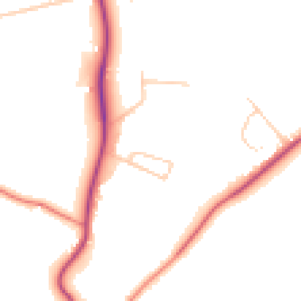
Daytime· 07:00 – 23:00
47.7dB

Night-time· 23:00 – 07:00
39.1dB