Skip to content

17 Low Wood Grove, Wirral, CH61 1AN

Notable views
Property type
Detached
Bedrooms
2
Bathroom
1
Floor area
101 m²
1087 sq ft
Energy rating
E
Score 49
Tenure
Owner Occupied
Overview

About 17 Low Wood Grove

A plain-English summary derived from public records, EPC certificates, sold prices and local data.

17 Low Wood Grove is a two-bedroom detached house in Wirral (CH61 1AN). It has a recorded floor area of 101 m² (around 1087 sq ft) and construction records dating it to 1950-1966. The latest certificate (May 2018) shows an E (score 49), well below the UK norm with real room to improve. The recommended improvements would push it to D (score 66). Other recorded features include notable views and a loft.

It lags the bulk of the postcode on energy efficiency (less efficient than 71% of similar EPCs). Today's modelled estimate of £440,000 is 32.9% above the 2018 sale price. On a £-per-square-foot basis, the last sale (£304/sq ft) was about 40.1% above the typical sold price in the postcode. Most recent transfer: August 2018 at £331,000.

Specifications

What this property has

Pulled from EPC certificates, claim submissions and our property model. Empty categories are hidden — we only show what's known.

Inside

  • Bedrooms2
  • Bathrooms1
  • LoftYes

Outside

  • Private gardenYes
  • GarageYes
  • Notable viewsYes
Before you decide

Everything you need to know about 17 Low Wood Grove

The true value, the hidden risks and the full sale history, in one report.

£14.99one-off

30-day money-back guarantee

Preview of the full property report

The data behind every report

  • HM Land Registry, source of sold price history
  • Department for Education, source of schools data
  • Police.uk, source of crime statistics
  • Department for Transport, source of stations and transport links
  • Environment Agency, source of flood risk data
  • Department for Environment, Food & Rural Affairs, source of road noise data
  • PlanIt, source of planning application records
  • Beautiful Places, source of nearby scenic places
Energy

Energy performance

Every EPC certificate filed against this property — current rating, recorded improvements, and where there's headroom to reach a higher band.

17 Low Wood Grove's carbon output runs well above what efficient homes in the postcode produce.

EPC Rating

A
B
C
D
E
E49
F
G
Main Heating
Gas
Main Fuel
Gas
Hot Water
Average
Windows
Average
CO2 Emissions
6.6 t/year
Occupancy
Owner Occupied
Planning

Planning history

Applications and permits filed against 17 Low Wood Grove, Wirral, CH61 1AN, sourced from the PlanIt planning register.

17 Low Wood Grove has no planning applications on record.

The full report still covers planning activity across the surrounding area.

Price

Sales history & valuation

Recorded transactions, our model's current estimate, and a quick read on what neighbouring properties have sold for.

17 Low Wood Grove valuation sits well clear of the typical sold price in this postcode.

Current estimate

£440,000

Modelled from EPC, postcode comparables.

See how we calculated this
Last sold (2018)

£331,000

Recorded with HM Land Registry.

Sales timeline

  1. 23 August 2018Most recent

    £331,000

Median price across the last 5 sales in CH61 1AN: £325,000 (2025–2014).

On the street

Versus other Low Wood Grove homes

Four headline reads against 7 similar houses on this street, drawn from the latest EPC and Land Registry data.

17 Low Wood Grove is notably below the street on epc rating.

Price per m²

£3,277

Street avg £2,906

Above

Floor Area

101 m²

Street avg 105 m²

On par

Habitable Rooms

5 rooms

Street avg 5 rooms

On par

CO₂ Emissions

6.6 t/year

Street avg 4.8 t/year

Below
Before you decide

Everything you need to know about 17 Low Wood Grove

The true value, the hidden risks and the full sale history, in one report.

£14.99one-off

30-day money-back guarantee

Preview of the full property report

The data behind every report

  • HM Land Registry, source of sold price history
  • Department for Education, source of schools data
  • Police.uk, source of crime statistics
  • Department for Transport, source of stations and transport links
  • Environment Agency, source of flood risk data
  • Department for Environment, Food & Rural Affairs, source of road noise data
  • PlanIt, source of planning application records
  • Beautiful Places, source of nearby scenic places
Area

The neighbourhood at a glance

A condensed read of the local area. Each tile links through to the full breakdown on the Wirral district page.

Daytime road noise here sits well below conversation level — a quiet pocket of the postcode.

Crime

2/mo

Steady year-on-year across the wider district.

Nearest stop

0.2 km

Woodlands Drive — bus stop.

Closest school

1.3 km

Thingwall Primary School. 11 schools nearby.

Go deeper on the local area

The full report breaks down crime, transport links, schools and air quality in depth.

Noise

Road noise across the postcode

Modelled day and night-time noise levels around CH61 1AN from Defra's strategic mapping. The pin marks this postcode's centroid.
Daytime road noise heatmap for CH61 1AN

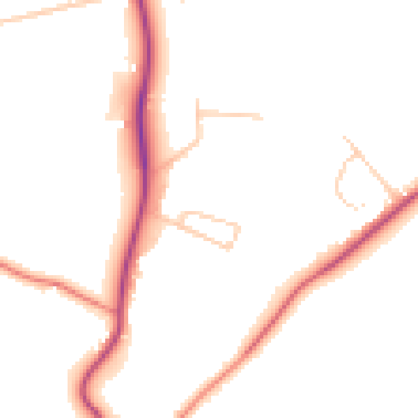
Daytime· 07:00 – 23:00

47.7dB

Low
Night-time road noise heatmap for CH61 1AN

Night-time· 23:00 – 07:00

39.1dB

Low
55 dB
60 dB
65 dB
70 dB
75 dB
80 dB
Defra Road Noise Strategic Mapping, Round 4
FAQ

Common questions

The questions buyers, sellers and homeowners most often ask about 17 Low Wood Grove, Wirral, CH61 1AN. Each answer is also embedded as structured data for search engines.