8 Gills Lane, Wirral, CH61 1AD
About 8 Gills Lane
8 Gills Lane is a three-bedroom end-of-terrace house in Wirral (CH61 1AD). It has a recorded floor area of 91 m² (around 980 sq ft), construction records dating it to 1900-1929 and council tax band B. The latest certificate (April 2021) shows a D (score 62), on the cusp of jumping into the C band. The recommended improvements would lift it to B (score 86), a 2-band jump. Period features are noted in the property record.
Across 2000–2022, sale prices on this property compounded at 6.7% per year. Today's modelled estimate of £267,000 is 21.4% above the 2022 sale price. Sold March 2022 for £220,000. That sale was during the post-pandemic price surge, when transactions cleared materially above pre-2020 trend.
What this property has
Inside
- Bedrooms3
- Bathrooms1
- Dining roomYes
Outside
- Private gardenSouth-facing
- ParkingOff road
Building
- Heating systemGas
- Period featuresYes
- RefurbishedYes
Everything you need to know about 8 Gills Lane
The true value, the hidden risks and the full sale history, in one report.
30-day money-back guarantee

The data behind every report


Energy performance
Recommended upgrades on file would lift this property by multiple EPC bands.
EPC Rating
Planning history
8 Gills Lane has no planning applications on record.
The full report still covers planning activity across the surrounding area.
Sales history & valuation
Sale price has grown by over 3x since 2000.
£267,000
Modelled from EPC, postcode comparables and a sale-price growth of 6.7% per year over 21 years.
£220,000
Growth on file: 6.7% per year over 21 years.
Sales timeline
4 March 2022Most recent
£220,000
+214.3%over 20 years30 May 2001
£70,000
+25.0%11 December 2000
£56,000
Median price across the last 5 sales in CH61 1AD: £210,000 (2022–2012).
Versus other Gills Lane homes
Years Held for 8 Gills Lane lags the street by a wide margin.
Price per m²
£2,418
Street avg £2,271
Floor Area
91 m²
Street avg 98 m²
Habitable Rooms
5 rooms
Street avg 5 rooms
CO₂ Emissions
4.4 t/year
Street avg 5.1 t/year
Everything you need to know about 8 Gills Lane
The true value, the hidden risks and the full sale history, in one report.
30-day money-back guarantee
The data behind every report
Similar properties nearby
The neighbourhood at a glance
Daytime road noise here sits well below conversation level — a quiet pocket of the postcode.
Crime
2/mo
Steady year-on-year across the wider district.
Nearest stop
0.1 km
Gills Lane — bus stop.
Closest school
0.7 km
Pensby Primary School. 11 schools nearby.
Go deeper on the local area
The full report breaks down crime, transport links, schools and air quality in depth.
Road noise across the postcode
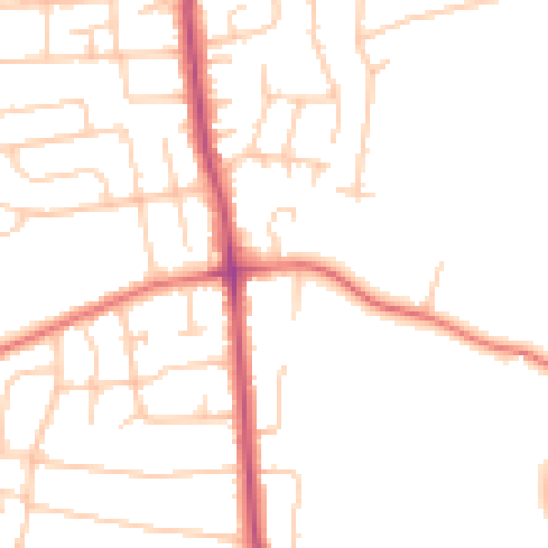
Daytime· 07:00 – 23:00
48.5dB

Night-time· 23:00 – 07:00
38.7dB