6 Gills Lane, Wirral, CH61 1AD
About 6 Gills Lane
6 Gills Lane is a three-bedroom mid-terrace house in Wirral (CH61 1AD). It has a recorded floor area of 86 m² (around 926 sq ft), construction records dating it to 1900-1929 and council tax band B. Tenure is freehold. The latest certificate (October 2012) shows a D (score 68), on the cusp of jumping into the C band. The recommended improvements would lift it to B (score 88), a 2-band jump. The latest certificate is from October 2012, so improvements made since then won't be reflected.
Today's modelled estimate of £245,000 is 25.6% above the 2022 sale price. On a £-per-square-foot basis, the last sale (£211/sq ft) was about 16.7% above the typical sold price in the postcode. Sold February 2022 for £195,000. That sale was during the post-pandemic price surge, when transactions cleared materially above pre-2020 trend.
What this property has
Inside
- Bedrooms3
- Bathrooms1
- Dining roomYes
Outside
- Private gardenRear
- DrivewayYes
Building
- TenureFreehold
Everything you need to know about 6 Gills Lane
The true value, the hidden risks and the full sale history, in one report.
30-day money-back guarantee

The data behind every report


Energy performance
Recommended upgrades on file would lift this property by multiple EPC bands.
EPC Expired
This certificate is over 10 years old and is no longer valid.Expired 29 Oct 2022
EPC Rating
Planning history
6 Gills Lane has no planning applications on record.
The full report still covers planning activity across the surrounding area.
Sales history & valuation
The latest sale landed in the post-pandemic price surge — useful context when reading the figure.
£245,000
Modelled from EPC, postcode comparables.
£195,000
Recorded with HM Land Registry.
Sales timeline
25 February 2022Most recent
£195,000
Median price across the last 5 sales in CH61 1AD: £220,000 (2022–2012).
Versus other Gills Lane homes
On epc rating, 6 Gills Lane stands well clear of the street.
Price per m²
£2,267
Street avg £2,309
Floor Area
86 m²
Street avg 99 m²
Habitable Rooms
5 rooms
Street avg 5 rooms
CO₂ Emissions
3.2 t/year
Street avg 5.4 t/year
Everything you need to know about 6 Gills Lane
The true value, the hidden risks and the full sale history, in one report.
30-day money-back guarantee
The data behind every report
Similar properties nearby
The neighbourhood at a glance
Daytime road noise here sits well below conversation level — a quiet pocket of the postcode.
Crime
2/mo
Steady year-on-year across the wider district.
Nearest stop
0.1 km
Gills Lane — bus stop.
Closest school
0.7 km
Pensby Primary School. 11 schools nearby.
Go deeper on the local area
The full report breaks down crime, transport links, schools and air quality in depth.
Road noise across the postcode
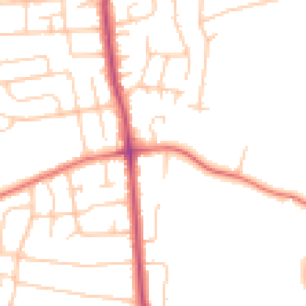
Daytime· 07:00 – 23:00
48.5dB

Night-time· 23:00 – 07:00
38.7dB