50 Thurstaston Road, Irby, Wirral, CH61 0HF
About 50 Thurstaston Road
50 Thurstaston Road is a property in Irby, Wirral, Wirral (CH61 0HF).
Untraded for 30 years, with the last transfer in March 1996. Only one transfer is on record with HM Land Registry, suggesting it has stayed in the same hands for a long time. 2 planning records sit against the property, 1 approved, 1 refused. Past consents include an extension, meaningful when judging how the property has evolved.
Everything you need to know about 50 Thurstaston Road
The true value, the hidden risks and the full sale history, in one report.
30-day money-back guarantee

The data behind every report


Energy performance
No EPC on record
This property doesn't have an Energy Performance Certificate yet. An EPC is required to sell or let — and unlocks our automated valuation.
Planning history
A an annexe application was refused at 50 Thurstaston Road in 2023.
- Nov 2023AnnexFullIn report
Proposed two storey extension to the existing garage. Single storey to the rear at ground floor level then another floor over the proposed extension and the existing garage. Ground floor extension to be used for storage while the first floor is to be one bedroom apartment as an annexe to the existing dwelling.
Extension- Reference
- APPH/23/01743
- Nov 2005ExtensionFullIn report
Extension: Single storey · Side and rear of property
Erection of a single storey side and rear extension
- Documents
- 5 docs on file
- Reference
- APP/05/07104
What's in 50 Thurstaston Road, Irby, Wirral, CH61 0HF's planning history?
Refusals, disputes and full decisions on this property and nearby, in the report.
Sales history & valuation
50 Thurstaston Road has been held in the same hands since before 2000.
£185,000
Recorded with HM Land Registry.
Sales timeline
1 March 1996Most recent
£185,000
Median price across the last 5 sales in CH61 0HF: £520,000 (2024–2019).
Nearby sales in CH61 0HF
40 Thurstaston Road, Irby, Wirral, CH61 0HF
Sold Aug 2024
£720,00048 Thurstaston Road, Irby, Wirral, CH61 0HF
Sold Nov 2023
£520,00033 Thurstaston Road, Irby, Wirral, CH61 0HF
Sold Jul 2020
£375,00034 Thurstaston Road, Irby, Wirral, CH61 0HF
Sold Aug 2019
£435,00041 Thurstaston Road, Irby, Wirral, CH61 0HF
Sold Jan 2017
£400,000
Everything you need to know about 50 Thurstaston Road
The true value, the hidden risks and the full sale history, in one report.
30-day money-back guarantee
The data behind every report
Similar properties nearby
1 Grangewood Cottages, Church Lane, Thurstaston
CH61 0HW
1 Hall Cottages, Station Road, Thurstaston
CH61 0HL
1 Lyndhurst Road, Heswall
CH61 0HB
1 Martin Close
CH61 0HP
1 Rangers House, Station Road, Thurstaston
CH61 0HN
1 School Lane, Thurstaston
CH61 0HH
10 Dawpool Farm, Station Road, Thurstaston
CH61 0HR
10 Lyndhurst Road, Heswall
CH61 0HB
The neighbourhood at a glance
Daytime road noise here sits well below conversation level — a quiet pocket of the postcode.
Crime
2/mo
Steady year-on-year across the wider district.
Nearest stop
0.1 km
Lyndhurst Road — bus stop.
Closest school
0.6 km
Thurstaston Dawpool CofE Primary School. 10 schools nearby.
Go deeper on the local area
The full report breaks down crime, transport links, schools and air quality in depth.
Road noise across the postcode
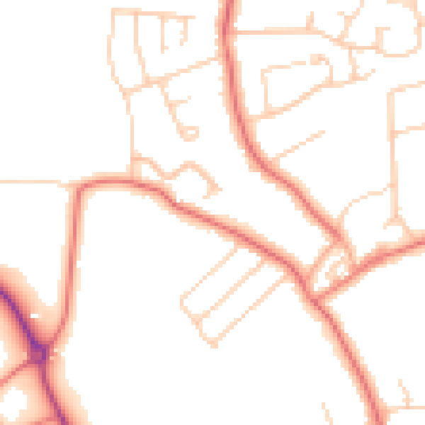
Daytime· 07:00 – 23:00
48.7dB

Night-time· 23:00 – 07:00
38.6dB