40 Thurstaston Road, Irby, Wirral, CH61 0HF
About 40 Thurstaston Road
40 Thurstaston Road is a detached house in Irby, Wirral, Wirral (CH61 0HF). It has a recorded floor area of 203 m² (around 2185 sq ft). The latest certificate (February 2018) returns a B (score 84), comfortably above the UK average.
At 203 m² the property is well over the postcode median (148 m² across 8 EPCs), placing it in the larger end of the local stock. Its energy rating outperforms most of the postcode (better than 75% of similar EPCs). One planning record on file: an extension approved in 2019. Past consents include an extension, meaningful when judging how the property has evolved. Across 2020–2024, sale prices on this property compounded at 6% per year. On a £-per-square-foot basis, the last sale (£330/sq ft) was about 34.3% above the typical sold price in the postcode. Most recent transfer: August 2024 at £720,000.
Everything you need to know about 40 Thurstaston Road
The true value, the hidden risks and the full sale history, in one report.
30-day money-back guarantee

The data behind every report


Energy performance
Achieving this rating across a home of this size is uncommon — larger homes typically score lower.
EPC Rating
Planning history
40 Thurstaston Road has an approved single-storey rear extension on the planning record.
- Apr 2019ExtensionFullIn report
Extension: Single storey · Rear of property
Erection of a single storey rear extension
- Agent
- Jones and Wathen Ltd
- Documents
- 7 docs on file
- Reference
- APP/19/00244
What's in 40 Thurstaston Road, Irby, Wirral, CH61 0HF's planning history?
Refusals, disputes and full decisions on this property and nearby, in the report.
Sales history & valuation
Latest sale on 40 Thurstaston Road was the highest on Land Registry record across the postcode.
£694,000
Modelled from EPC, postcode comparables and a sale-price growth of 6.0% per year over 4 years.
£720,000
Growth on file: 6.0% per year over 4 years.
Sales timeline
15 August 2024Most recent
£720,000
+24.1%over 3 years20 November 2020
£580,000
Median price across the last 5 sales in CH61 0HF: £400,000 (2023–2014).
Nearby sales in CH61 0HF
48 Thurstaston Road, Irby, Wirral, CH61 0HF
Sold Nov 2023
£520,00033 Thurstaston Road, Irby, Wirral, CH61 0HF
Sold Jul 2020
£375,00034 Thurstaston Road, Irby, Wirral, CH61 0HF
Sold Aug 2019
£435,00041 Thurstaston Road, Irby, Wirral, CH61 0HF
Sold Jan 2017
£400,00030 Thurstaston Road, Irby, Wirral, CH61 0HF
Sold Jun 2014
£297,000
Versus other Thurstaston Road homes
On price per m², 40 Thurstaston Road stands well clear of the street.
Price per m²
£3,547
Street avg £2,381
Floor Area
203 m²
Street avg 139 m²
CO₂ Emissions
3.0 t/year
Street avg 4.3 t/year
Years Held
2 years
Street avg 12 years
Everything you need to know about 40 Thurstaston Road
The true value, the hidden risks and the full sale history, in one report.
30-day money-back guarantee
The data behind every report
Similar properties nearby
100 Thurstaston Road, Thurstaston
CH61 0HG
1 School Lane, Thurstaston
CH61 0HH
1 Rangers House, Station Road, Thurstaston
CH61 0HN
104 Thurstaston Road, Thurstaston
CH61 0HG
12 Dawpool Farm, Station Road, Thurstaston
CH61 0HR
11a, Martin Close
CH61 0HP
14 Dawpool Farm, Station Road, Thurstaston
CH61 0HR
12 Martin Close
CH61 0HP
The neighbourhood at a glance
Daytime road noise here sits well below conversation level — a quiet pocket of the postcode.
Crime
2/mo
Steady year-on-year across the wider district.
Nearest stop
0.1 km
Lyndhurst Road — bus stop.
Closest school
0.6 km
Thurstaston Dawpool CofE Primary School. 10 schools nearby.
Go deeper on the local area
The full report breaks down crime, transport links, schools and air quality in depth.
Road noise across the postcode
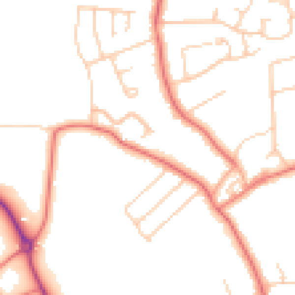
Daytime· 07:00 – 23:00
48.7dB

Night-time· 23:00 – 07:00
38.6dB