30 Thurstaston Road, Irby, Wirral, CH61 0HF
About 30 Thurstaston Road
30 Thurstaston Road is a semi-detached house in Irby, Wirral, Wirral (CH61 0HF). It has a recorded floor area of 149 m² (around 1604 sq ft), construction records dating it to 1930-1949 and council tax band D. The latest certificate (September 2013) shows a D (score 63), on the cusp of jumping into the C band. The recommended improvements would push it to C (score 77). The latest certificate is from September 2013, so improvements made since then won't be reflected.
Today's modelled estimate of £483,000 sits 62.6% above the 2014 sale of £297,000. On a £-per-square-foot basis, the last sale (£185/sq ft) was about 29.9% below the postcode norm. One planning record on file: an extension approved in 2003. Past consents include an extension, meaningful when judging how the property has evolved. Last changed hands 12 years ago, in June 2014.
Everything you need to know about 30 Thurstaston Road
The true value, the hidden risks and the full sale history, in one report.
30-day money-back guarantee

The data behind every report


Energy performance
30 Thurstaston Road's EPC is over a decade old — improvements since won't be reflected.
EPC Expired
This certificate is over 10 years old and is no longer valid.Expired 27 Sept 2023
EPC Rating
Planning history
30 Thurstaston Road has an approved rear extension on the planning record.
- Jul 2003ExtensionFullIn report
Extension: Rear of property
Raising of rear single-storey extension roof to align with other rear extension roof
- Documents
- 5 docs on file
- Reference
- APP/03/06257
What's in 30 Thurstaston Road, Irby, Wirral, CH61 0HF's planning history?
Refusals, disputes and full decisions on this property and nearby, in the report.
Sales history & valuation
£483,000
Modelled from EPC, postcode comparables.
£297,000
Recorded with HM Land Registry.
Sales timeline
11 June 2014Most recent
£297,000
Median price across the last 5 sales in CH61 0HF: £520,000 (2024–2019).
Nearby sales in CH61 0HF
40 Thurstaston Road, Irby, Wirral, CH61 0HF
Sold Aug 2024
£720,00048 Thurstaston Road, Irby, Wirral, CH61 0HF
Sold Nov 2023
£520,00033 Thurstaston Road, Irby, Wirral, CH61 0HF
Sold Jul 2020
£375,00034 Thurstaston Road, Irby, Wirral, CH61 0HF
Sold Aug 2019
£435,00041 Thurstaston Road, Irby, Wirral, CH61 0HF
Sold Jan 2017
£400,000
Versus other Thurstaston Road homes
Habitable Rooms for 30 Thurstaston Road runs comfortably ahead of the street norm.
Price per m²
£1,993
Street avg £2,640
Floor Area
149 m²
Street avg 146 m²
Habitable Rooms
8 rooms
Street avg 7 rooms
CO₂ Emissions
5.8 t/year
Street avg 4.0 t/year
Everything you need to know about 30 Thurstaston Road
The true value, the hidden risks and the full sale history, in one report.
30-day money-back guarantee
The data behind every report
Similar properties nearby
14 Dawpool Farm, Station Road, Thurstaston
CH61 0HR
11a, Martin Close
CH61 0HP
12 Martin Close
CH61 0HP
12 Sandy Lane, Irby
CH61 0HD
14 Martin Close
CH61 0HP
11 Martin Close
CH61 0HP
10 Thurstaston Road, Irby
CH61 0HE
10 Dawpool Farm, Station Road, Thurstaston
CH61 0HR
The neighbourhood at a glance
Daytime road noise here sits well below conversation level — a quiet pocket of the postcode.
Crime
2/mo
Steady year-on-year across the wider district.
Nearest stop
0.1 km
Lyndhurst Road — bus stop.
Closest school
0.6 km
Thurstaston Dawpool CofE Primary School. 10 schools nearby.
Go deeper on the local area
The full report breaks down crime, transport links, schools and air quality in depth.
Road noise across the postcode
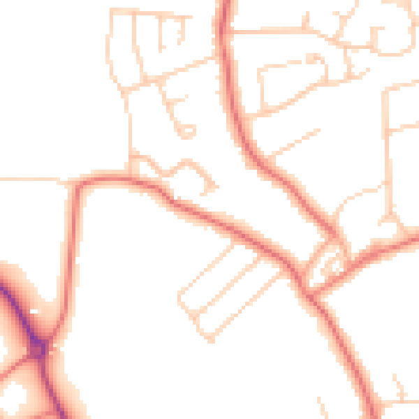
Daytime· 07:00 – 23:00
48.7dB

Night-time· 23:00 – 07:00
38.6dB