18 Thurstaston Road, Irby, Wirral, CH61 0HE
About 18 Thurstaston Road
18 Thurstaston Road is a detached house in Irby, Wirral, Wirral (CH61 0HE). It has a recorded floor area of 155 m² (around 1668 sq ft), construction records dating it to 1900-1929 and council tax band F. The latest certificate (July 2014) shows an F (score 33), near the bottom of the EPC scale. Earlier certificates rated it E (May 2009); the latest reading is one band lower. Between certificates, hot-water efficiency dropped from Very Good to Good and lighting dropped from Poor to Very Poor. The recommended improvements would lift it to D (score 55), a 2-band jump. The latest certificate is from July 2014, so improvements made since then won't be reflected.
Untraded for 17 years, with the last transfer in October 2009. That sale fell during the post-crash dip, which often skews comparisons against later neighbouring sales. One planning record on file: an extension approved in 2013. Past consents include an extension, meaningful when judging how the property has evolved. It lags the bulk of the postcode on energy efficiency (less efficient than 75% of similar EPCs). Across 2006–2009, sale prices on this property compounded at 2.2% per year. Today's modelled estimate of £512,000 is 21.9% above the 2009 sale price.
Everything you need to know about 18 Thurstaston Road
The true value, the hidden risks and the full sale history, in one report.
30-day money-back guarantee

The data behind every report


Energy performance
18 Thurstaston Road's carbon output runs well above what efficient homes in the postcode produce.
EPC Expired
This certificate is over 10 years old and is no longer valid.Expired 22 Jul 2024
EPC Rating
Planning history
18 Thurstaston Road has an approved single-storey extension on the planning record.
- Jun 2013ExtensionFullIn report
Extension: Single storey
Single storey extensions and alterations to existing bungalow to form new front entrance and rear family room
- Agent
- SHACK Architecture ltd
- Documents
- 8 docs on file
- Reference
- APP/13/00496
What's in 18 Thurstaston Road, Irby, Wirral, CH61 0HE's planning history?
Refusals, disputes and full decisions on this property and nearby, in the report.
Sales history & valuation
The latest sale fell during the post-2008 dip, often a low-water mark in price comparisons.
£512,000
Modelled from EPC, postcode comparables and a sale-price growth of 2.2% per year over 3 years.
£420,000
Growth on file: 2.2% per year over 3 years.
Sales timeline
30 October 2009Most recent
£420,000
+7.0%over 3 years5 October 2006
£392,500
Median price across the last 5 sales in CH61 0HE: £416,515 (2023–2006).
Nearby sales in CH61 0HE
10 Thurstaston Road, Irby, Wirral, CH61 0HE
Sold Mar 2023
£422,50022 Thurstaston Road, Irby, Wirral, CH61 0HE
Sold Jan 2021
£430,0008 Thurstaston Road, Irby, Wirral, CH61 0HE
Sold Oct 2014
£337,0002 Thurstaston Road, Irby, Wirral, CH61 0HE
Sold Oct 2014
£416,51524 Thurstaston Road, Irby, Wirral, CH61 0HE
Sold Mar 2005
£330,000
Versus other Thurstaston Road homes
18 Thurstaston Road outperforms the street on years held by a wide margin.
Price per m²
£2,710
Street avg £2,951
Floor Area
155 m²
Street avg 138 m²
Habitable Rooms
6 rooms
Street avg 7 rooms
CO₂ Emissions
12.0 t/year
Street avg 7.7 t/year
Everything you need to know about 18 Thurstaston Road
The true value, the hidden risks and the full sale history, in one report.
30-day money-back guarantee
The data behind every report
Similar properties nearby
12 Dawpool Farm, Station Road, Thurstaston
CH61 0HR
11a, Martin Close
CH61 0HP
14 Dawpool Farm, Station Road, Thurstaston
CH61 0HR
12 Martin Close
CH61 0HP
104 Thurstaston Road, Thurstaston
CH61 0HG
12 Sandy Lane, Irby
CH61 0HD
14 Martin Close
CH61 0HP
1 Rangers House, Station Road, Thurstaston
CH61 0HN
The neighbourhood at a glance
Daytime road noise here sits well below conversation level — a quiet pocket of the postcode.
Crime
2/mo
Steady year-on-year across the wider district.
Nearest stop
0.1 km
Lyndhurst Road — bus stop.
Closest school
0.7 km
Irby Primary School. 11 schools nearby.
Go deeper on the local area
The full report breaks down crime, transport links, schools and air quality in depth.
Road noise across the postcode
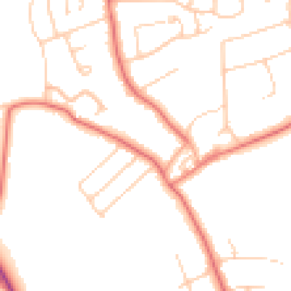
Daytime· 07:00 – 23:00
48.0dB

Night-time· 23:00 – 07:00
37.9dB