52 Cloverfield Drive, Soham, Ely, CB7 5FS
About 52 Cloverfield Drive
52 Cloverfield Drive is a property in Soham, Ely, Ely (CB7 5FS). It has council tax band D.
Untraded for 28 years, with the last transfer in May 1998. Only one transfer is on record with HM Land Registry, suggesting it has stayed in the same hands for a long time.
Know exactly what you're buying at 52 Cloverfield Drive
Before you offer, see what the listing won't tell you, the true value, the red flags and the full history.
Already flagged here
Valuation
against the asking price
Risks
planning & flood
Sold prices
similar homes nearby
Trends
the local market
Energy performance
No EPC on record
This property doesn't have an Energy Performance Certificate yet. An EPC is required to sell or let — and unlocks our automated valuation.
Planning history
52 Cloverfield Drive has no planning applications on record.
Notable planning nearby
8applications of note in the surrounding area
We flagged 1 thing worth checking at 52 Cloverfield Drive
Independent checks surfaced things a buyer would want to understand before offering. The report explains each one in full, with the underlying data and what to ask.
- Larger development activity nearby
30-day money-back guarantee
Sales history & valuation
52 Cloverfield Drive has been held in the same hands since before 2000.
£91,950
Recorded with HM Land Registry.
Sales timeline
20 May 1998Most recent
£91,950
Median price across the last 5 sales in CB7 5FS: £220,000 (2020–2013).
Nearby sales in CB7 5FS
48 Cloverfield Drive, Soham, Ely, CB7 5FS
Sold Apr 2020
£312,50050 Cloverfield Drive, Soham, Ely, CB7 5FS
Sold Apr 2019
£330,00054 Cloverfield Drive, Soham, Ely, CB7 5FS
Sold Mar 2014
£203,5003 Cloverfield Drive, Soham, Ely, CB7 5FS
Sold Nov 2013
£146,50015 Cloverfield Drive, Soham, Ely, CB7 5FS
Sold Nov 2004
£195,000
Everything we know about 52 Cloverfield Drive, in one report
What it's really worth, what could be wrong, and the planning, sales and area data in full.
What we flagged
- Larger development activity nearby

Similar properties nearby
1 Abbey Place, Fordham
CB7 5WS
1 Adelaide Close, Soham
CB7 5FJ
1 Alfreda Court, Red Lion Square, Soham
CB7 5HQ
1 Angle Common, Soham
CB7 5HX
1 Appleyard Close, Isleham
CB7 5QA
1 Ashfield Gardens, Isleham
CB7 5WF
1 Aspen Way, Soham
CB7 5ZQ
1 Avocet Grove, Soham
CB7 5GN
The neighbourhood at a glance
Daytime road noise here sits well below conversation level — a quiet pocket of the postcode.
Crime
4/mo
Steady year-on-year across the wider district.
Nearest stop
1.0 km
Soham — railway station.
Closest school
0.9 km
The Shade Primary School. 4 schools nearby.
Go deeper on the local area
The full report breaks down crime, transport links, schools and air quality in depth.
Road noise across the postcode
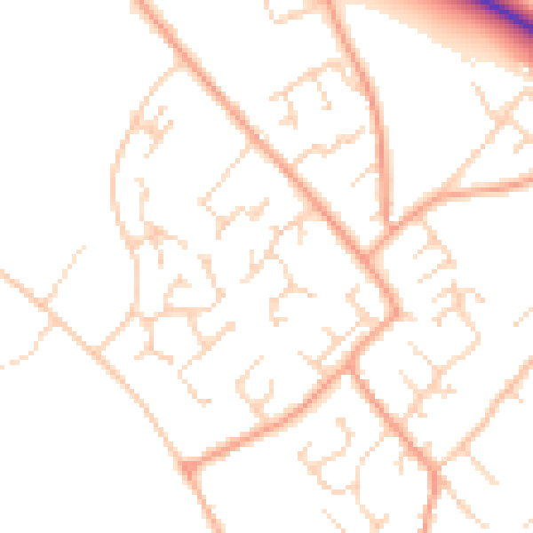
Daytime· 07:00 – 23:00
49.0dB

Night-time· 23:00 – 07:00
39.3dB