9 Carlyle Road, Cambridge, CB4 3DN
About 9 Carlyle Road
9 Carlyle Road is a four-bedroom mid-terrace house in Cambridge (CB4 3DN). It has a recorded floor area of 147 m² (around 1582 sq ft), construction records dating it to before 1900 and council tax band F. The latest certificate (November 2015) shows an E (score 54), well below the UK norm with real room to improve. The rating has held steady at E across 2 certificates since May 2013. Between certificates, hot-water efficiency went from Average to Good and lighting went from Average to Very Good. The recommended improvements would lift it to C (score 80), a 2-band jump. The latest certificate is from November 2015, so improvements made since then won't be reflected.
At 147 m² the property is well over the postcode median (58 m² across 30 EPCs), placing it in the larger end of the local stock. On energy efficiency it sits in the bottom 10% of properties in this postcode — significant headroom for improvement. Across 1997–2016, sale prices on this property compounded at 8.7% per year. Today's modelled estimate of £910,000 is 18.6% above the 2016 sale price. On a £-per-square-foot basis, the last sale (£485/sq ft) was about 50.4% above the typical sold price in the postcode. Last sold in June 2016, so it's been off the market for around 10 years. 3 planning records sit against the property, 0 approved, 0 refused.
Know exactly what you're buying at 9 Carlyle Road
Before you offer, see what the listing won't tell you, the true value, the red flags and the full history.
Already flagged here
Valuation
against the asking price
Risks
planning & flood
Sold prices
similar homes nearby
Trends
the local market
What this property has
Inside
- Bedrooms4
- Bathrooms2
- Dining roomYes
Building
- Central heatingYes
Energy performance
9 Carlyle Road sits at the bottom of the postcode for energy efficiency — meaningful headroom to improve.
EPC Expired
This certificate is over 10 years old and is no longer valid.Expired 16 Nov 2025
EPC Rating
Property Improvements
Changes detected from historical EPC data
Hot water efficiency improved
More low energy lighting installed
Planning history
Planning history at 9 Carlyle Road is exclusively tree-management applications — typical for a property with mature trees on or near the plot.
- Feb 2026Tree WorksTreesIn report
1- Lime - Remove tree due to severe fungal infection, unstable and potentially dangerous
- Council
- Cambridge City Council
- Documents
- 12 docs on file
- Reference
- 25/1470/TTCA
- May 2021Tree WorksTreesIn report
1 Lime - repollard tree to manage height and size because of excessive shading and managing aggressive growth. Repollarding will be in keeping with and in line with previous work. The height of the tree is currently 15m and 7m is to be removed.
- Council
- Cambridge City Council
- Documents
- 11 docs on file
- Reference
- 21/0370/TTCA
We flagged 1 thing worth checking at 9 Carlyle Road
Independent checks surfaced things a buyer would want to understand before offering. The report explains each one in full, with the underlying data and what to ask.
- Signs of HMO activity in the area
30-day money-back guarantee
Sales history & valuation
9 Carlyle Road has more than quadrupled in price since its earliest registered sale in 1997.
£910,000
Modelled from EPC, postcode comparables and a sale-price growth of 8.7% per year over 19 years.
£767,000
Growth on file: 8.7% per year over 19 years.
Sales timeline
13 June 2016Most recent
£767,000
+250.2%over 17 years23 July 1998
£219,000
+34.8%over 8 months10 November 1997
£162,500
Median price across the last 5 sales in CB4 3DN: £800,000 (2025–2017).
Nearby sales in CB4 3DN
Everything we know about 9 Carlyle Road, in one report
What it's really worth, what could be wrong, and the planning, sales and area data in full.
What we flagged
- Signs of HMO activity in the area

Versus other Carlyle Road homes
On epc rating, 9 Carlyle Road runs well behind the street norm.
Price per m²
£5,218
Street avg £5,235
Floor Area
147 m²
Street avg 125 m²
Habitable Rooms
8 rooms
Street avg 6 rooms
CO₂ Emissions
7.6 t/year
Street avg 5.4 t/year
Similar properties nearby
The neighbourhood at a glance
Crime
7/mo
Steady year-on-year across the wider district.
Nearest stop
2.5 km
Cambridge Rail Station — railway station.
Closest school
0.4 km
Chesterton Community College. 23 schools nearby.
Go deeper on the local area
The full report breaks down crime, transport links, schools and air quality in depth.
Road noise across the postcode
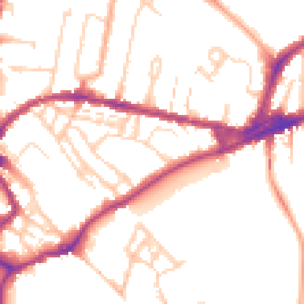
Daytime· 07:00 – 23:00
51.2dB

Night-time· 23:00 – 07:00
42.2dB