Model valuation£417,0008 Busby Close
Local market context
Estimated value
£1,310,000
Newest record on this page: February 2026. Land Registry and EPC registers update monthly, so this page can trail them by 2–3 months.
Our estimate
£1,310,000
Your note and figure are shown publicly on this page.
The estimate for 41 Moorfield Road is modelled from its 293 m² EPC floor area, its 4 recorded sales and recent sales of comparable homes in CB22 4PP. It is an automated estimate, not a survey or mortgage valuation: condition, layout and improvements that aren't on record can move the real figure either way.
Floor area
293 m² from the EPC lodged in June 2020
Sales of this home
4 sales recorded, the latest in 2021
Recent sales in CB22 4PP
5 sales, median £470,000 (2026–2022)
| Data | This page | Full report |
|---|---|---|
| Sales | Latest sale shown: February 2026 | Latest available records, read when you order |
| Valuation | Estimate from the last refresh | Analysed against comparable sales |
| Planning | 1 application | Full history, plus nearby schemes |
| Flood risk | Not shown | Included |
Latest sale on 41 Moorfield Road was the highest on Land Registry record across the postcode.
25 May 2021Most recent
£1,100,000
+176.7%over 20 years29 March 2001
£397,500
+165.0%over 3 years1 October 1997
£150,000
-23.1%over 2 years14 September 1995
£195,000
Median price across the last 5 sales in CB22 4PP: £470,000 (2026–2022).
49 Moorfield Road, Duxford, Cambridge, CB22 4PP
Sold Feb 2026
45a, Moorfield Road, Duxford, Cambridge, CB22 4PP
Sold Nov 2025
91 Moorfield Road, Duxford, Cambridge, CB22 4PP
Sold Mar 2023
7 Moorfield Road, Duxford, Cambridge, CB22 4PP
Sold Jan 2023
11 Moorfield Road, Duxford, Cambridge, CB22 4PP
Sold Feb 2022
One time fee only - money back guarantee
41 Moorfield Road is a five-bedroom detached house in Duxford, Cambridge, Cambridge (CB22 4PP). It has a recorded floor area of 293 m² (around 3154 sq ft), construction records dating it to 1976-1982 and council tax band G. There is a swimming pool on the plot, uncommon for the area. The home occupies a cul-de-sac position. The latest certificate (June 2020) shows a C (score 71).
At 293 m² the property is well over the postcode median (117 m² across 24 EPCs), placing it in the larger end of the local stock. Its energy rating outperforms most of the postcode (better than 83% of similar EPCs). Across 1995–2021, sale prices on this property compounded at 7% per year. Today's modelled estimate of £1,310,000 is 19.1% above the 2021 sale price. On a £-per-square-foot basis, the last sale (£349/sq ft) was about 34.5% above the typical sold price in the postcode. Most recent transfer: May 2021 at £1,100,000. That sale was during the post-pandemic price surge, when transactions cleared materially above pre-2020 trend. One historical planning record sits against the property in 2010.
The true value, the hidden risks and the full sale history, in one report.
Pick your report · from £14.99
One time fee only - money back guarantee
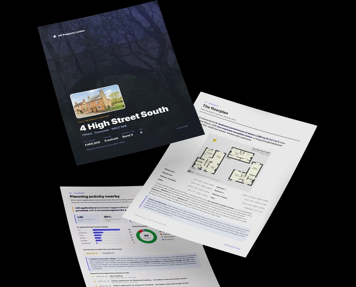
The data behind every report







41 Moorfield Road's carbon output runs well above what efficient homes in the postcode produce.
Certificate validity
Valid until 3 June 2030
1 application on record at 41 Moorfield Road, Duxford, Cambridge, CB22 4PP
Erection of wall following removal of fence
You're seeing the shape of it. The report has the substance.
One time fee only - money back guarantee
41 Moorfield Road outperforms the street on floor area by a wide margin.
Price per m²
£3,754
Street avg £3,654
Floor Area
293 m²
Street avg 133 m²
Habitable Rooms
10 rooms
Street avg 6 rooms
CO₂ Emissions
8.5 t/year
Street avg 5.9 t/year
Rail-style transport is unusually close for this postcode.
Crime
82/mo
Falling year-on-year across the wider district.
Nearest stop
0.9 km
Whittlesford Parkway Rail Station — railway station.
Closest school
0.3 km
Duxford Church of England Community Primary School. 2 schools nearby.
Go deeper on the local area
A Local Area report breaks down crime, transport links, schools and air quality in depth.
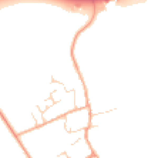
Daytime· 07:00 – 23:00
47.9dB

Night-time· 23:00 – 07:00
39.7dB

Get a survey for this property
Because the property has been extended more than once, we believe a Level 3 building survey should be considered.
From £1,645 · Includes VAT
CB22 4RT
CB22 4XU
CB22 4RE
CB22 4LT
CB22 4LZ
CB22 4AP
CB22 4NY
CB22 4RD
Property research, connected
Explore sale histories, valuations, energy ratings and local areas. Ask the assistant to connect the details and take your research further.
Start your researchLeave a note for other visitors about work done or anything the records miss, and say what you think it's worth. It takes about two minutes.