11 Springfield Avenue, Horfield, Bristol, BS7 9QS
About 11 Springfield Avenue
11 Springfield Avenue is a property in Horfield, Bristol, Bristol (BS7 9QS). It has council tax band B.
It hasn't traded since July 2003, a hold of 23 years that's notably long for the area. Across 1999–2003, sale prices on this property compounded at 14.9% per year.
Everything you need to know about 11 Springfield Avenue
The true value, the hidden risks and the full sale history, in one report.
Pick your report · every report is £14.99
One time fee only - money back guarantee

The data behind every report


Energy performance
No EPC on record
This property doesn't have an Energy Performance Certificate yet. An EPC is required to sell or let — and unlocks our automated valuation.
Get a survey for this property
Level 2 HomeBuyer Report
We've checked 10 risk factors against the available data for this property and believe a Level 2 HomeBuyer Report could be a suitable option for you.
Planning history
11 Springfield Avenue has no planning applications on record.
But the area is active
66 notable applications nearby — larger schemes and conversions that could reshape the street. The report maps them all.
Sales history & valuation
£130,000
Growth on file: 14.9% per year over 4 years.
Sales timeline
17 July 2003Most recent
£130,000
+74.5%over 3 years18 July 1999
£74,500
Median price across the last 5 sales in BS7 9QS: £425,000 (2024–2023).
Nearby sales in BS7 9QS
33 Springfield Avenue, Horfield, Bristol, BS7 9QS
Sold Oct 2024
£318,32531 Springfield Avenue, Horfield, Bristol, BS7 9QS
Sold Aug 2024
£425,00025 Springfield Avenue, Horfield, Bristol, BS7 9QS
Sold Apr 2024
£375,00021 Springfield Avenue, Horfield, Bristol, BS7 9QS
Sold Jun 2023
£558,00039 Springfield Avenue, Horfield, Bristol, BS7 9QS
Sold Mar 2023
£430,000
Everything you need to know about 11 Springfield Avenue
The true value, the hidden risks and the full sale history, in one report.
Pick your report · every report is £14.99
One time fee only - money back guarantee
The data behind every report
Similar properties nearby
The neighbourhood at a glance
Rail-style transport is unusually close for this postcode.
Crime
6/mo
Rising year-on-year across the wider district.
Nearest stop
0.2 km
Muller Road Lidl — bus stop.
Closest school
0.1 km
Ashley Down Primary School. 45 schools nearby.
Go deeper on the local area
A Local Area report breaks down crime, transport links, schools and air quality in depth.
Road noise across the postcode
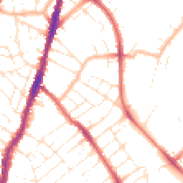
Daytime· 07:00 – 23:00
50.4dB

Night-time· 23:00 – 07:00
40.5dB