26 Alderton Road, Bristol, BS7 0UY
About 26 Alderton Road
26 Alderton Road is a three-bedroom semi-detached house in Bristol (BS7 0UY). It has a recorded floor area of 105 m² (around 1130 sq ft), construction records dating it to 1930-1949 and council tax band C. The latest certificate (March 2014) shows a D (score 57), a step below the typical UK home. The rating has held steady at D across 2 certificates since March 2011. Between certificates, window efficiency went from Average to Good and lighting went from Poor to Very Good; while roof efficiency dropped from Average to Poor. The recommended improvements would lift it to B (score 84), a 2-band jump. The latest certificate is from March 2014, so improvements made since then won't be reflected. Records show the property has been extended at some point in its history.
At 105 m² the property is well over the postcode median (80 m² across 10 EPCs), placing it in the larger end of the local stock. One planning record on file: an extension approved in 2000. Past consents include an extension, meaningful when judging how the property has evolved. Across 1995–2022, sale prices on this property compounded at 7.2% per year. Today's modelled estimate of £485,000 is 14.1% above the 2022 sale price. On a £-per-square-foot basis, the last sale (£376/sq ft) was about 50.9% above the typical sold price in the postcode. Most recent transfer: March 2022 at £425,000. That sale was during the post-pandemic price surge, when transactions cleared materially above pre-2020 trend.
What this property has
Inside
- Bedrooms3
- Bathrooms2
- Dining roomYes
Outside
- Private gardenWest-facing
- ParkingOff street
Building
- Previously extendedYes
Everything you need to know about 26 Alderton Road
The true value, the hidden risks and the full sale history, in one report.
Pick your report · every report is £14.99
One time fee only - money back guarantee

The data behind every report


Energy performance
Recommended upgrades on file would lift this property by multiple EPC bands.
EPC Expired
This certificate is over 10 years old and is no longer valid.Expired 26 Mar 2024
EPC Rating
Property Improvements
Changes detected from historical EPC data
Heating controls upgraded for better temperature management
Window efficiency improved
More low energy lighting installed
Get a survey for this property
Level 2 HomeBuyer Report
We've checked 10 risk factors against the available data for this property and believe a Level 2 HomeBuyer Report could be a suitable option for you.
From £695 · Includes VAT
Planning history
26 Alderton Road has an approved single-storey rear extension on the planning record.
1 application on record at 26 Alderton Road, Bristol, BS7 0UY
- Jul 2000ExtensionFullOutcome in report
Extension: Single storey · Rear of property
Single storey rear extension.
- Reference
- 00/00819/H
Unlock 26 Alderton Road, Bristol, BS7 0UY's full planning history
You're seeing the shape of it. The report has the substance.
- Every decision — granted, refused or withdrawn (1 on record)
- All 1 application on this property in full, plus 162 notable nearby
- What the pattern means for extending or converting here
One time fee only - money back guarantee
Sales history & valuation
Price for 26 Alderton Road has grown more than fourfold since the 1995 starting point.
£485,000
Modelled from EPC, postcode comparables and a sale-price growth of 7.2% per year over 27 years.
£425,000
Growth on file: 7.2% per year over 27 years.
Sales timeline
31 March 2022Most recent
£425,000
+91.4%over 9 years29 May 2012
£222,000
+241.8%over 17 years23 February 1995
£64,950
Median price across the last 5 sales in BS7 0UY: £335,000 (2023–2016).
Versus other Alderton Road homes
On floor area, 26 Alderton Road stands well clear of the street.
Price per m²
£4,048
Street avg £3,530
Floor Area
105 m²
Street avg 78 m²
Habitable Rooms
5 rooms
Street avg 5 rooms
CO₂ Emissions
5.1 t/year
Street avg 3.5 t/year
Everything you need to know about 26 Alderton Road
The true value, the hidden risks and the full sale history, in one report.
Pick your report · every report is £14.99
One time fee only - money back guarantee
The data behind every report
Similar properties nearby
1 Bayswater Road
BS7 0BN
1 Beechcroft Walk
BS7 0NH
1 Cropthorne Road South
BS7 0PS
1 Blakeney Road
BS7 0DL
1 Conrad Court, Shakespeare Avenue
BS7 0PN
1 Buxton Walk
BS7 0LG
1 Dorchester Road
BS7 0LA
1 Bythesea Avenue
BS7 0FN
The neighbourhood at a glance
Reported crime in the wider district is trending notably upward year-on-year.
Crime
6/mo
Rising year-on-year across the wider district.
Nearest stop
0.2 km
Monk's Park Avenue — bus stop.
Closest school
0.4 km
Orchard School Bristol. 34 schools nearby.
Go deeper on the local area
A Local Area report breaks down crime, transport links, schools and air quality in depth.
Road noise across the postcode
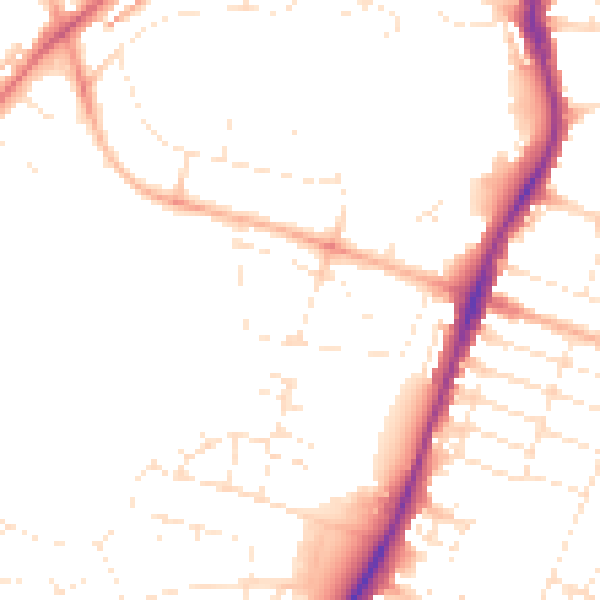
Daytime· 07:00 – 23:00
48.6dB

Night-time· 23:00 – 07:00
39.4dB