19 Court Road, Horfield, Bristol, BS7 0BU
About 19 Court Road
19 Court Road is a three-bedroom mid-terrace house in Horfield, Bristol, Bristol (BS7 0BU). It has a recorded floor area of 110 m² (around 1184 sq ft), construction records dating it to before 1900 and council tax band C. The latest certificate (June 2025) shows a D (score 58), a step below the typical UK home. When first surveyed in February 2013 the rating was E, the property has climbed 1 band since. Between certificates, roof efficiency went from Average to Good, window efficiency went from Poor to Average and hot-water efficiency went from Average to Good. The recommended improvements would lift it to B (score 81), a 2-band jump. Other recorded features include a balcony. Period features are noted in the property record. The home occupies a cul-de-sac position.
Across 1995–2019, sale prices on this property compounded at 9% per year. Today's modelled estimate of £549,000 is 22.7% above the 2019 sale price. On a £-per-square-foot basis, the last sale (£378/sq ft) was about 101.8% above the typical sold price in the postcode. Last sale on file: £447,500 in February 2019.
What this property has
Inside
- Bedrooms3
- Bathrooms2
- Open-plan layoutYes
- Dining roomYes
Outside
- BalconyYes
- Cul-de-sacYes
Building
- Period featuresYes
- RefurbishedYes
Everything you need to know about 19 Court Road
The true value, the hidden risks and the full sale history, in one report.
Pick your report · every report is £14.99
One time fee only - money back guarantee

The data behind every report


Energy performance
19 Court Road's carbon output runs well above what efficient homes in the postcode produce.
EPC Rating
Property Improvements
Changes detected from historical EPC data
Heating controls upgraded for better temperature management
Hot water efficiency improved
Windows upgraded, improving insulation
Roof insulation improved
Get a survey for this property
Level 3 Building Survey
Because the property was built before 1919, we believe a Level 3 building survey should be considered.
From £1,085 · Includes VAT
Planning history
19 Court Road has no planning applications on record.
But the area is active
162 notable applications nearby — larger schemes and conversions that could reshape the street. The report maps them all.
Sales history & valuation
19 Court Road has more than quadrupled in price since its earliest registered sale in 1995.
£549,000
Modelled from EPC, postcode comparables and a sale-price growth of 9.0% per year over 24 years.
£447,500
Growth on file: 9.0% per year over 24 years.
Sales timeline
14 February 2019Most recent
£447,500
+79.0%over 5 years13 June 2013
£250,000
+323.7%over 17 years20 July 1995
£59,000
Median price across the last 5 sales in BS7 0BU: £520,000 (2024–2023).
Nearby sales in BS7 0BU
27 Court Road, Horfield, Bristol, BS7 0BU
Sold Sept 2024
£518,82525 Court Road, Horfield, Bristol, BS7 0BU
Sold Jul 2024
£425,00035 Court Road, Horfield, Bristol, BS7 0BU
Sold Apr 2024
£528,00017 Court Road, Horfield, Bristol, BS7 0BU
Sold Sept 2023
£575,00037 Court Road, Horfield, Bristol, BS7 0BU
Sold Jul 2023
£520,000
Versus other Court Road homes
19 Court Road outperforms the street on price per m² by a wide margin.
Price per m²
£4,068
Street avg £2,781
Floor Area
110 m²
Street avg 120 m²
Habitable Rooms
5 rooms
Street avg 6 rooms
CO₂ Emissions
6.0 t/year
Street avg 5.6 t/year
Everything you need to know about 19 Court Road
The true value, the hidden risks and the full sale history, in one report.
Pick your report · every report is £14.99
One time fee only - money back guarantee
The data behind every report
Similar properties nearby
1 Bayswater Road
BS7 0BN
1 Beechcroft Walk
BS7 0NH
1 Cropthorne Road South
BS7 0PS
1 Blakeney Road
BS7 0DL
1 Conrad Court, Shakespeare Avenue
BS7 0PN
1 Buxton Walk
BS7 0LG
1 Dorchester Road
BS7 0LA
1 Bythesea Avenue
BS7 0FN
The neighbourhood at a glance
Reported crime in the wider district is trending notably upward year-on-year.
Crime
6/mo
Rising year-on-year across the wider district.
Nearest stop
0.2 km
Muller Road Top — bus stop.
Closest school
0.6 km
Filton Avenue Primary School. 37 schools nearby.
Go deeper on the local area
A Local Area report breaks down crime, transport links, schools and air quality in depth.
Road noise across the postcode
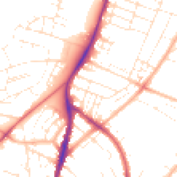
Daytime· 07:00 – 23:00
50.6dB

Night-time· 23:00 – 07:00
40.6dB