7 Crofton Avenue, Bristol, BS7 0BP
About 7 Crofton Avenue
7 Crofton Avenue is a four-bedroom end-of-terrace house in Bristol (BS7 0BP). It has a recorded floor area of 142 m² (around 1528 sq ft), construction records dating it to before 1900 and council tax band D. The latest certificate (April 2023) shows a D (score 67), on the cusp of jumping into the C band. When first surveyed in February 2018 the rating was F, the property has climbed 2 bands since. Between certificates, hot-water efficiency went from Very Poor to Good and main heating went from Average to Good. The recommended improvements would lift it to B (score 81), a 2-band jump. Period features are noted in the property record.
One planning record on file: an extension approved in 2024. Past consents include an extension, meaningful when judging how the property has evolved. At 142 m² it's 20.3% larger than the typical home in the postcode (118 m² median across 7 EPCs). Across 2018–2023, sale prices on this property compounded at 8.9% per year. On a £-per-square-foot basis, the last sale (£425/sq ft) was about 66.3% above the typical sold price in the postcode. Last sale on file: £650,000 in August 2023.
What this property has
Inside
- Bedrooms4
- Bathrooms2
- Open-plan layoutYes
- Dining roomYes
- CloakroomYes
- EnsuiteYes
Building
- Period featuresYes
Everything you need to know about 7 Crofton Avenue
The true value, the hidden risks and the full sale history, in one report.
Pick your report · every report is £14.99
One time fee only - money back guarantee

The data behind every report


Energy performance
Recommended upgrades on file would lift this property by multiple EPC bands.
EPC Rating
Property Improvements
Changes detected from historical EPC data
Replaced storage heaters with gas boiler
Connected to mains gas supply
Heating controls upgraded for better temperature management
Hot water system upgraded
More low energy lighting installed
Get a survey for this property
Level 3 Building Survey
Because the property was built before 1919 and has solid (non-cavity) walls, we believe a Level 3 building survey should be considered.
From £1,155 · Includes VAT
Planning history
1 application on record at 7 Crofton Avenue, Bristol, BS7 0BP
- Feb 2024ExtensionFullOutcome in report
Extension: Single storey · Rear of property
Replacement single storey rear extension and raised deck.
- Documents
- 10 docs on file
- Reference
- 23/04804/H
Unlock 7 Crofton Avenue, Bristol, BS7 0BP's full planning history
You're seeing the shape of it. The report has the substance.
- Every decision — granted, refused or withdrawn (1 on record)
- All 1 application on this property in full, plus 162 notable nearby
- The 10 documents, officer reports & conditions
- What the pattern means for extending or converting here
One time fee only - money back guarantee
Sales history & valuation
Latest sale on 7 Crofton Avenue was the highest on Land Registry record across the postcode.
£666,000
Modelled from EPC, postcode comparables and a sale-price growth of 8.9% per year over 5 years.
£650,000
Growth on file: 8.9% per year over 5 years.
Sales timeline
20 August 2023Most recent
£650,000
+49.7%over 4 years26 November 2018
£434,100
Median price across the last 5 sales in BS7 0BP: £270,000 (2023–2015).
Nearby sales in BS7 0BP
First Floor Flat, 2 Crofton Avenue, Bristol, BS7 0BP
Sold Aug 2023
£270,000Ground Floor Flat, 2 Crofton Avenue, Bristol, BS7 0BP
Sold Jul 2020
£255,0005 Crofton Avenue, Bristol, BS7 0BP
Sold Mar 2018
£497,2508 Crofton Avenue, Bristol, BS7 0BP
Sold Aug 2017
£505,00010 Crofton Avenue, Bristol, BS7 0BP
Sold Dec 2014
£380,500
Versus other Crofton Avenue homes
Price per m² for 7 Crofton Avenue runs comfortably ahead of the street norm.
Price per m²
£4,577
Street avg £3,012
Floor Area
142 m²
Street avg 131 m²
Habitable Rooms
7 rooms
Street avg 6 rooms
CO₂ Emissions
4.8 t/year
Street avg 6.2 t/year
Everything you need to know about 7 Crofton Avenue
The true value, the hidden risks and the full sale history, in one report.
Pick your report · every report is £14.99
One time fee only - money back guarantee
The data behind every report
Similar properties nearby
1 Dorchester Road
BS7 0LA
1 Bayswater Road
BS7 0BN
1 Beechcroft Walk
BS7 0NH
1 Cropthorne Road South
BS7 0PS
1 Blakeney Road
BS7 0DL
1 Conrad Court, Shakespeare Avenue
BS7 0PN
1 Buxton Walk
BS7 0LG
1 Bythesea Avenue
BS7 0FN
The neighbourhood at a glance
Reported crime in the wider district is trending notably upward year-on-year.
Crime
6/mo
Rising year-on-year across the wider district.
Nearest stop
0.1 km
Muller Road Top — bus stop.
Closest school
0.7 km
Filton Avenue Primary School. 36 schools nearby.
Go deeper on the local area
A Local Area report breaks down crime, transport links, schools and air quality in depth.
Road noise across the postcode
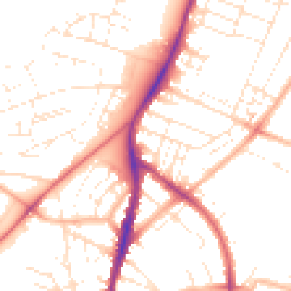
Daytime· 07:00 – 23:00
50.9dB

Night-time· 23:00 – 07:00
40.8dB