3 Derby Street, Bristol, BS5 9BZ
About 3 Derby Street
3 Derby Street is an end-of-terrace house in Bristol (BS5 9BZ). It has a recorded floor area of 56 m² (around 603 sq ft), construction records dating it to 2003-2006 and council tax band B. At 56 m² this is the largest unit on EPC record across the building (35–56 m²). The building's EPC ratings span C to B, with this unit at the bottom. The latest certificate (October 2021) shows a C (score 78), near the top of the C band. The rating has held steady at C across 2 certificates since August 2011.
Untraded for 18 years, with the last transfer in July 2008. That sale landed at the peak of the pre-credit-crunch market, which is a useful reference point when interpreting the price. Today's modelled estimate of £179,000 sits 138.7% above the 2008 sale of £75,000. At 56 m² it's 29.6% larger than the typical home in the postcode (43 m² median across 10 EPCs).
Everything you need to know about 3 Derby Street
The true value, the hidden risks and the full sale history, in one report.
30-day money-back guarantee

The data behind every report


Energy performance
3 Derby Street's carbon output is low for the local stock.
EPC Rating
Planning history
3 Derby Street has no planning applications on record.
Notable planning nearby
23applications of note in the surrounding area
We flagged 1 thing worth checking at 3 Derby Street
Independent checks surfaced things a buyer would want to understand before offering. The report explains each one in full, with the underlying data and what to ask.
- Signs of HMO activity in the area
30-day money-back guarantee
Sales history & valuation
The latest sale landed at the peak of the pre-credit-crunch market — a high-water reference point.
£179,000
Modelled from EPC, postcode comparables.
£75,000
Recorded with HM Land Registry.
Sales timeline
10 July 2008Most recent
£75,000
Median price across the last 5 sales in BS5 9BZ: £57,500 (2024–2011).
Nearby sales in BS5 9BZ
Versus other Derby Street homes
3 Derby Street is notably below the street on price per m².
Price per m²
£1,339
Street avg £4,055
Floor Area
56 m²
Street avg 44 m²
Habitable Rooms
3 rooms
Street avg 3 rooms
CO₂ Emissions
1.3 t/year
Street avg 1.1 t/year
Everything you need to know about 3 Derby Street
The true value, the hidden risks and the full sale history, in one report.
30-day money-back guarantee
The data behind every report
Similar properties nearby
The neighbourhood at a glance
Rail-style transport is unusually close for this postcode.
Crime
11/mo
Steady year-on-year across the wider district.
Nearest stop
0.1 km
Blackswarth Road — bus stop.
Closest school
0.2 km
Redfield Educate Together Primary Academy. 43 schools nearby.
Go deeper on the local area
The full report breaks down crime, transport links, schools and air quality in depth.
Road noise across the postcode
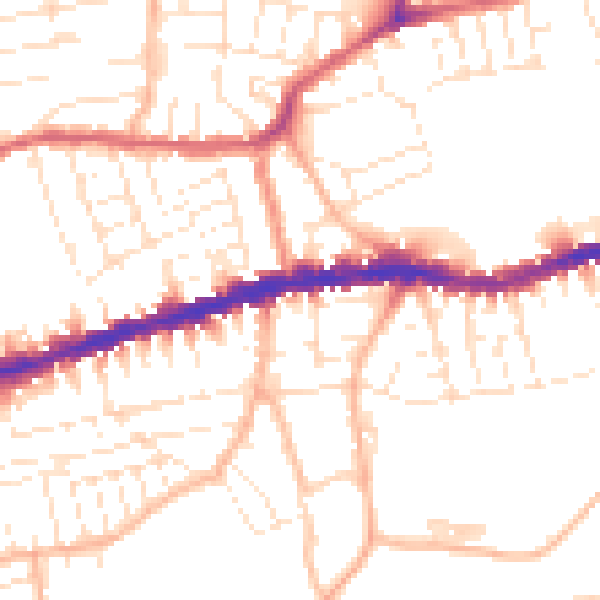
Daytime· 07:00 – 23:00
51.6dB

Night-time· 23:00 – 07:00
41.3dB