10 Berwick Road, Bristol, BS5 6NG
About 10 Berwick Road
10 Berwick Road is a two-bedroom mid-terrace house in Bristol (BS5 6NG). It has a recorded floor area of 67 m² (around 721 sq ft), construction records dating it to 1900-1929 and council tax band A. The latest certificate (January 2015) shows a D (score 66), on the cusp of jumping into the C band. The rating has held steady at D across 2 certificates since December 2013. Between certificates, window efficiency dropped from Good to Average and lighting dropped from Very Good to Good. The recommended improvements would lift it to B (score 89), a 2-band jump. The latest certificate is from January 2015, so improvements made since then won't be reflected. Period features are noted in the property record.
Across 1998–2014, sale prices on this property compounded at 9.8% per year. Today's modelled estimate of £348,000 sits 114.8% above the 2014 sale of £162,000. On a £-per-square-foot basis, the last sale (£225/sq ft) was about 71.4% above the typical sold price in the postcode. 12 years since the last transfer (November 2014).
What this property has
Inside
- Bedrooms2
- Bathrooms1
- Open-plan layoutYes
- Dining roomYes
Outside
- Private gardenRear
Building
- Heating systemGas
- Period featuresYes
- RefurbishedYes
Everything you need to know about 10 Berwick Road
The true value, the hidden risks and the full sale history, in one report.
30-day money-back guarantee

The data behind every report


Energy performance
Recommended upgrades on file would lift this property by multiple EPC bands.
EPC Expired
This certificate is over 10 years old and is no longer valid.Expired 31 Jan 2025
EPC Rating
Planning history
10 Berwick Road has no planning applications on record.
Notable planning nearby
30applications of note in the surrounding area
We flagged 1 thing worth checking at 10 Berwick Road
Independent checks surfaced things a buyer would want to understand before offering. The report explains each one in full, with the underlying data and what to ask.
- Signs of HMO activity in the area
30-day money-back guarantee
Sales history & valuation
Price for 10 Berwick Road has grown more than fourfold since the 1998 starting point.
£348,000
Modelled from EPC, postcode comparables and a sale-price growth of 9.8% per year over 16 years.
£162,000
Growth on file: 9.8% per year over 16 years.
Sales timeline
18 November 2014Most recent
£162,000
+40.3%over 9 years23 June 2005
£115,500
+230.0%over 7 years18 June 1998
£35,000
Median price across the last 5 sales in BS5 6NG: £295,000 (2025–2021).
Versus other Berwick Road homes
Habitable Rooms for 10 Berwick Road lags the street by a wide margin.
Price per m²
£2,418
Street avg £2,010
Floor Area
67 m²
Street avg 75 m²
Habitable Rooms
3 rooms
Street avg 4 rooms
CO₂ Emissions
2.8 t/year
Street avg 3.7 t/year
Everything you need to know about 10 Berwick Road
The true value, the hidden risks and the full sale history, in one report.
30-day money-back guarantee
The data behind every report
Similar properties nearby
1 Apsley Street
BS5 6SP
1 Belle Vue Road, Easton
BS5 6DR
1 Bridge Road, Eastville
BS5 6XG
1 Chapel Road, Easton
BS5 6DX
1 Carlyle Road
BS5 6HG
1 Bridge View Close
BS5 6BS
1 Caraway Gardens
BS5 6YG
1 Boswell Street
BS5 6SG
The neighbourhood at a glance
Rail-style transport is unusually close for this postcode.
Crime
11/mo
Steady year-on-year across the wider district.
Nearest stop
0.1 km
Stapleton Road Stn — bus stop.
Closest school
0.5 km
E-Act Bannerman Road Community Academy. 47 schools nearby.
Go deeper on the local area
The full report breaks down crime, transport links, schools and air quality in depth.
Road noise across the postcode
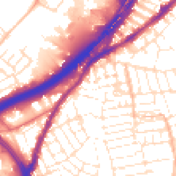
Daytime· 07:00 – 23:00
56.6dB

Night-time· 23:00 – 07:00
47.4dB