30 Chancery Street, Bristol, BS5 0AZ
About 30 Chancery Street
30 Chancery Street is a five-bedroom mid-terrace house in Bristol (BS5 0AZ). It has a recorded floor area of 104 m² (around 1119 sq ft), construction records dating it to 1967-1975 and council tax band A. Tenure is freehold. The latest certificate (September 2022) shows a D (score 67), on the cusp of jumping into the C band. The recommended improvements would push it to C (score 77).
Today's modelled estimate of £386,000 is 14.4% above the 2023 sale price. On a £-per-square-foot basis, the last sale (£301/sq ft) was about 195% above the typical sold price in the postcode. 5 bedrooms is on the larger side for this postcode, where 3 is the typical count. Most recent transfer: June 2023 at £337,500.
What this property has
Inside
- Bedrooms5
- Bathrooms2
- Open-plan layoutYes
- CloakroomYes
- EnsuiteYes
Building
- TenureFreehold
- RefurbishedYes
Everything you need to know about 30 Chancery Street
The true value, the hidden risks and the full sale history, in one report.
30-day money-back guarantee

The data behind every report


Energy performance
EPC Rating
Planning history
30 Chancery Street has no planning applications on record.
Notable planning nearby
23applications of note in the surrounding area
We flagged 2 things worth checking at 30 Chancery Street
Independent checks surfaced things a buyer would want to understand before offering. The report explains each one in full, with the underlying data and what to ask.
- Signs of HMO activity in the area
- Larger development activity nearby
30-day money-back guarantee
Sales history & valuation
Latest sale on 30 Chancery Street was the highest on Land Registry record across the postcode.
£386,000
Modelled from EPC, postcode comparables.
£337,500
Recorded with HM Land Registry.
Sales timeline
22 June 2023Most recent
£337,500
Median price across the last 5 sales in BS5 0AZ: £120,000 (2019–2005).
Nearby sales in BS5 0AZ
Versus other Chancery Street homes
Price per m² for 30 Chancery Street runs comfortably ahead of the street norm.
Price per m²
£3,245
Street avg £1,538
Floor Area
104 m²
Street avg 95 m²
Habitable Rooms
7 rooms
Street avg 5 rooms
CO₂ Emissions
3.5 t/year
Street avg 3.3 t/year
Everything you need to know about 30 Chancery Street
The true value, the hidden risks and the full sale history, in one report.
30-day money-back guarantee
The data behind every report
Similar properties nearby
The neighbourhood at a glance
Rail-style transport is unusually close for this postcode.
Crime
11/mo
Steady year-on-year across the wider district.
Nearest stop
0.2 km
Church Street — bus stop.
Closest school
0.3 km
E-Act Barton Hill Academy. 46 schools nearby.
Go deeper on the local area
The full report breaks down crime, transport links, schools and air quality in depth.
Road noise across the postcode
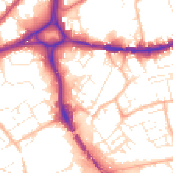
Daytime· 07:00 – 23:00
55.2dB

Night-time· 23:00 – 07:00
45.5dB