3 Dunkeld Avenue, Filton, Bristol, BS34 7RH
About 3 Dunkeld Avenue
3 Dunkeld Avenue is a three-bedroom semi-detached house in Filton, Bristol, Bristol (BS34 7RH). It has a recorded floor area of 128 m² (around 1378 sq ft), construction records dating it to 1930-1949 and council tax band D. The latest certificate (October 2016) shows a C (score 71). The recommended improvements would push it to B (score 81). Records show the property has been extended at some point in its history.
Across 2004–2020, sale prices on this property compounded at 5.6% per year. Today's modelled estimate of £540,000 is 23.6% above the 2020 sale price. On a £-per-square-foot basis, the last sale (£317/sq ft) was about 44% above the typical sold price in the postcode. Most recent transfer: March 2020 at £437,000.
What this property has
Inside
- Bedrooms3
- Bathrooms1
- Open-plan layoutYes
- Dining roomYes
- Utility roomYes
- CloakroomYes
- EnsuiteYes
Outside
- GarageIntegral
Building
- Previously extendedYes
Everything you need to know about 3 Dunkeld Avenue
The true value, the hidden risks and the full sale history, in one report.
Pick your report · every report is £14.99
One time fee only - money back guarantee

The data behind every report


Energy performance
EPC Rating
Get a survey for this property
Level 3 Building Survey
Because the property has been extended more than once, we believe a Level 3 building survey should be considered.
From £1,085 · Includes VAT
Planning history
3 Dunkeld Avenue has no planning applications on record.
But the area is active
130 notable applications nearby — larger schemes and conversions that could reshape the street. The report maps them all.
Sales history & valuation
3 Dunkeld Avenue has more than doubled in price since the earliest registered sale in 2004.
£540,000
Modelled from EPC, postcode comparables and a sale-price growth of 5.6% per year over 15 years.
£437,000
Growth on file: 5.6% per year over 15 years.
Sales timeline
13 March 2020Most recent
£437,000
+9.3%over 3 years18 January 2017
£400,000
+110.5%over 12 years17 December 2004
£190,000
Median price across the last 5 sales in BS34 7RH: £415,000 (2022–2020).
Nearby sales in BS34 7RH
33 Dunkeld Avenue, Filton, Bristol, BS34 7RH
Sold Aug 2022
£602,00037 Dunkeld Avenue, Filton, Bristol, BS34 7RH
Sold Sept 2021
£520,00029 Dunkeld Avenue, Filton, Bristol, BS34 7RH
Sold Jun 2021
£345,0001b, Dunkeld Avenue, Filton, Bristol, BS34 7RH
Sold Jun 2021
£400,0009 Dunkeld Avenue, Filton, Bristol, BS34 7RH
Sold Oct 2020
£415,000
Versus other Dunkeld Avenue homes
Price per m²
£3,414
Street avg £3,104
Floor Area
128 m²
Street avg 118 m²
Habitable Rooms
6 rooms
Street avg 6 rooms
CO₂ Emissions
3.5 t/year
Street avg 4.1 t/year
Everything you need to know about 3 Dunkeld Avenue
The true value, the hidden risks and the full sale history, in one report.
Pick your report · every report is £14.99
One time fee only - money back guarantee
The data behind every report
Similar properties nearby
1 Charlton Avenue
BS34 7QX
1 Glebelands Road, Filton
BS34 7AD
1 Concorde House, Bevan Court, Filton
BS34 7QN
1 Blenheim Drive, Filton
BS34 7AX
1 Clyde Grove, Filton
BS34 7RL
1 Canberra Grove, Filton
BS34 7DH
1 Elm Park, Filton
BS34 7PR
1 Dunkeld Avenue, Filton
BS34 7RH
The neighbourhood at a glance
Daytime road noise here sits well below conversation level — a quiet pocket of the postcode.
Crime
6/mo
Steady year-on-year across the wider district.
Nearest stop
0.1 km
Charborough Road — bus stop.
Closest school
0.3 km
Charborough Road Primary School. 26 schools nearby.
Go deeper on the local area
A Local Area report breaks down crime, transport links, schools and air quality in depth.
Road noise across the postcode
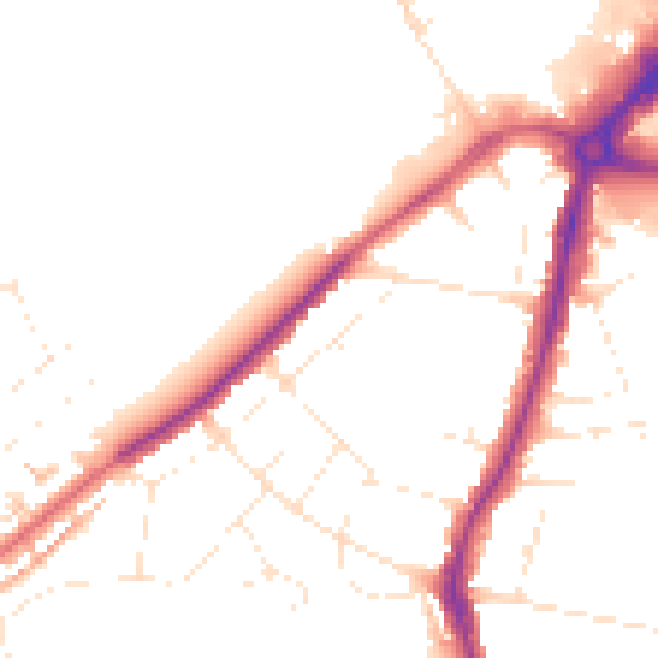
Daytime· 07:00 – 23:00
48.6dB

Night-time· 23:00 – 07:00
40.6dB