8 Stanley Avenue, Filton, Bristol, BS34 7NQ
About 8 Stanley Avenue
8 Stanley Avenue is a two-bedroom mid-terrace house in Filton, Bristol, Bristol (BS34 7NQ). It has a recorded floor area of 63 m² (around 678 sq ft), construction records dating it to 1930-1949 and council tax band B. The latest certificate (March 2021) shows a D (score 64), on the cusp of jumping into the C band. The rating has held steady at D across 2 certificates since August 2010. Between certificates, lighting went from Very Poor to Very Good; while roof efficiency dropped from Average to Very Poor. The recommended improvements would lift it to B (score 83), a 2-band jump.
Across 1995–2015, sale prices on this property compounded at 7.1% per year. Today's modelled estimate of £296,000 sits 58.1% above the 2015 sale of £187,250. On a £-per-square-foot basis, the last sale (£276/sq ft) was about 17.4% above the typical sold price in the postcode. 11 years since the last transfer (October 2015). Across the public record there are 5 sales, relatively high churn for a single property. At 63 m² it's 28.8% smaller than the typical home in the postcode (89 m² median across 22 EPCs).
What this property has
Inside
- Bedrooms2
- Bathrooms1
Outside
- Private gardenSouth-facing
- GarageYes
Building
- ConciergeYes
Everything you need to know about 8 Stanley Avenue
The true value, the hidden risks and the full sale history, in one report.
Pick your report · every report is £14.99
One time fee only - money back guarantee

The data behind every report


Energy performance
Recommended upgrades on file would lift this property by multiple EPC bands.
EPC Rating
Property Improvements
Changes detected from historical EPC data
Heating controls upgraded for better temperature management
More low energy lighting installed
Get a survey for this property
Level 3 Building Survey
Because the property has solid (non-cavity) walls, we believe a Level 3 building survey should be considered.
From £885 · Includes VAT
Planning history
8 Stanley Avenue has no planning applications on record.
But the area is active
130 notable applications nearby — larger schemes and conversions that could reshape the street. The report maps them all.
Sales history & valuation
Price for 8 Stanley Avenue has grown more than fourfold since the 1995 starting point.
£296,000
Modelled from EPC, postcode comparables and a sale-price growth of 7.1% per year over 21 years.
£187,250
Growth on file: 7.1% per year over 21 years.
Sales timeline
5 October 2015Most recent
£187,250
+23.2%over 9 years28 August 2006
£152,000
+38.2%over 3 years5 September 2002
£110,000
+86.4%over 3 years29 July 1999
£59,000
+29.7%over 4 years13 January 1995
£45,500
Median price across the last 5 sales in BS34 7NQ: £347,750 (2024–2021).
Nearby sales in BS34 7NQ
First Floor Flat, 21 Stanley Avenue, Filton, Bristol, BS34 7NQ
Sold Oct 2024
£179,95015 Stanley Avenue, Filton, Bristol, BS34 7NQ
Sold Feb 2022
£373,0007 Stanley Avenue, Filton, Bristol, BS34 7NQ
Sold Feb 2022
£392,50019 Stanley Avenue, Filton, Bristol, BS34 7NQ
Sold Jan 2022
£347,75032 Stanley Avenue, Filton, Bristol, BS34 7NQ
Sold Apr 2021
£316,000
Versus other Stanley Avenue homes
8 Stanley Avenue is notably below the street on floor area.
Price per m²
£2,972
Street avg £2,889
Floor Area
63 m²
Street avg 99 m²
Habitable Rooms
4 rooms
Street avg 5 rooms
CO₂ Emissions
3.0 t/year
Street avg 4.1 t/year
Everything you need to know about 8 Stanley Avenue
The true value, the hidden risks and the full sale history, in one report.
Pick your report · every report is £14.99
One time fee only - money back guarantee
The data behind every report
Similar properties nearby
1 Elm Park, Filton
BS34 7PR
1 Canberra Grove, Filton
BS34 7DH
1 Blenheim Drive, Filton
BS34 7AX
1 Concorde House, Bevan Court, Filton
BS34 7QN
1 Glebelands Road, Filton
BS34 7AD
1 Charlton Avenue
BS34 7QX
1 Meadowsweet Avenue, Filton
BS34 7AN
1 Clyde Grove, Filton
BS34 7RL
The neighbourhood at a glance
Rail-style transport is unusually close for this postcode.
Crime
6/mo
Steady year-on-year across the wider district.
Nearest stop
0.2 km
Wallscourt Road — bus stop.
Closest school
0.4 km
Shield Road Primary School. 24 schools nearby.
Go deeper on the local area
A Local Area report breaks down crime, transport links, schools and air quality in depth.
Road noise across the postcode
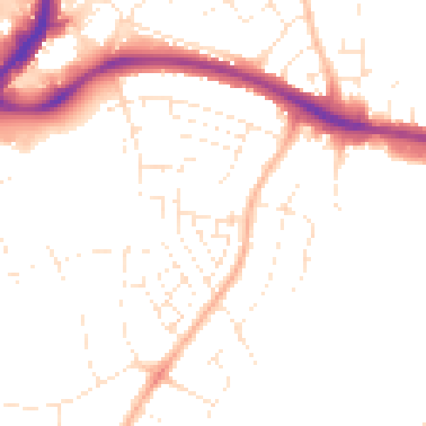
Daytime· 07:00 – 23:00
49.3dB

Night-time· 23:00 – 07:00
39.8dB