16 Stanley Avenue, Filton, Bristol, BS34 7NQ
About 16 Stanley Avenue
16 Stanley Avenue is a four-bedroom semi-detached house in Filton, Bristol, Bristol (BS34 7NQ). It has a recorded floor area of 119 m² (around 1281 sq ft), construction records dating it to 1950-1966 and council tax band C. The latest certificate (December 2015) shows a D (score 58), a step below the typical UK home. The recommended improvements would push it to C (score 80). The latest certificate is from December 2015, so improvements made since then won't be reflected.
Held since September 2008 — that's 18 years off the open market, well above the local norm. That sale landed at the peak of the pre-credit-crunch market, which is a useful reference point when interpreting the price. At 119 m² the property is well over the postcode median (87 m² across 22 EPCs), placing it in the larger end of the local stock. Today's modelled estimate of £374,000 sits 91.8% above the 2008 sale of £195,000. On a £-per-square-foot basis, the last sale (£152/sq ft) was about 33.1% below the postcode norm.
What this property has
Inside
- Bedrooms4
Outside
- Private gardenRear
- GarageYes
Building
- Heating systemGas
Everything you need to know about 16 Stanley Avenue
The true value, the hidden risks and the full sale history, in one report.
Pick your report · every report is £14.99
One time fee only - money back guarantee

The data behind every report


Energy performance
EPC Expired
This certificate is over 10 years old and is no longer valid.Expired 30 Dec 2025
EPC Rating
Get a survey for this property
Level 3 Building Survey
Because the property has solid (non-cavity) walls, we believe a Level 3 building survey should be considered.
From £955 · Includes VAT
Planning history
16 Stanley Avenue has no planning applications on record.
But the area is active
130 notable applications nearby — larger schemes and conversions that could reshape the street. The report maps them all.
Sales history & valuation
The latest sale landed at the peak of the pre-credit-crunch market — a high-water reference point.
£374,000
Modelled from EPC, postcode comparables.
£195,000
Recorded with HM Land Registry.
Sales timeline
14 September 2008Most recent
£195,000
Median price across the last 5 sales in BS34 7NQ: £347,750 (2024–2021).
Nearby sales in BS34 7NQ
First Floor Flat, 21 Stanley Avenue, Filton, Bristol, BS34 7NQ
Sold Oct 2024
£179,95015 Stanley Avenue, Filton, Bristol, BS34 7NQ
Sold Feb 2022
£373,0007 Stanley Avenue, Filton, Bristol, BS34 7NQ
Sold Feb 2022
£392,50019 Stanley Avenue, Filton, Bristol, BS34 7NQ
Sold Jan 2022
£347,75032 Stanley Avenue, Filton, Bristol, BS34 7NQ
Sold Apr 2021
£316,000
Versus other Stanley Avenue homes
CO₂ Emissions for 16 Stanley Avenue lags the street by a wide margin.
Price per m²
£1,639
Street avg £3,022
Floor Area
119 m²
Street avg 96 m²
Habitable Rooms
6 rooms
Street avg 5 rooms
CO₂ Emissions
5.8 t/year
Street avg 3.9 t/year
Everything you need to know about 16 Stanley Avenue
The true value, the hidden risks and the full sale history, in one report.
Pick your report · every report is £14.99
One time fee only - money back guarantee
The data behind every report
Similar properties nearby
1 Clyde Grove, Filton
BS34 7RL
1 Glebelands Road, Filton
BS34 7AD
1 Concorde House, Bevan Court, Filton
BS34 7QN
1 Blenheim Drive, Filton
BS34 7AX
1 Canberra Grove, Filton
BS34 7DH
1 Charlton Avenue
BS34 7QX
1 Dunkeld Avenue, Filton
BS34 7RH
1 Hollyleigh Avenue
BS34 7QU
The neighbourhood at a glance
Rail-style transport is unusually close for this postcode.
Crime
6/mo
Steady year-on-year across the wider district.
Nearest stop
0.2 km
Wallscourt Road — bus stop.
Closest school
0.4 km
Shield Road Primary School. 24 schools nearby.
Go deeper on the local area
A Local Area report breaks down crime, transport links, schools and air quality in depth.
Road noise across the postcode
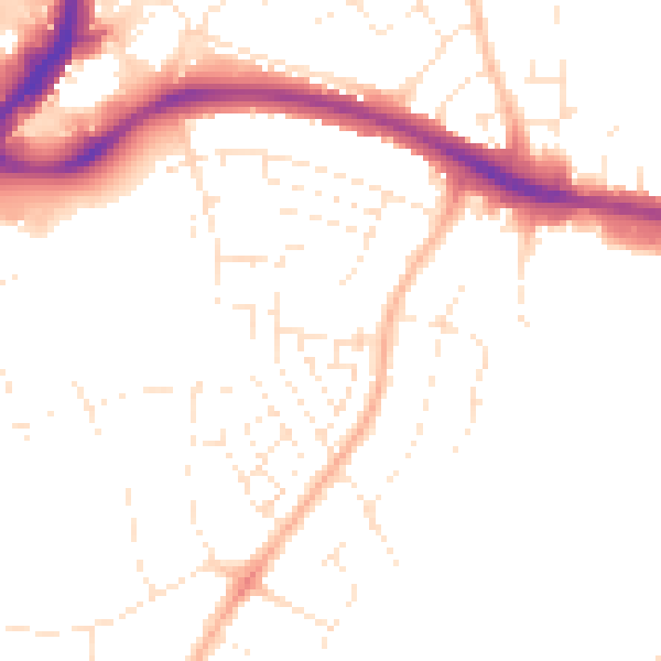
Daytime· 07:00 – 23:00
49.3dB

Night-time· 23:00 – 07:00
39.8dB