31 Mackie Grove, Filton, Bristol, BS34 7NG
About 31 Mackie Grove
31 Mackie Grove is a three-bedroom semi-detached house in Filton, Bristol, Bristol (BS34 7NG). It has a recorded floor area of 108 m² (around 1163 sq ft), construction records dating it to 1930-1949 and council tax band C. The latest certificate (October 2012) shows a D (score 62), on the cusp of jumping into the C band. The recommended improvements would lift it to B (score 83), a 2-band jump. The latest certificate is from October 2012, so improvements made since then won't be reflected.
Across 2000–2014, sale prices on this property compounded at 5.8% per year. Today's modelled estimate of £407,000 sits 68.2% above the 2014 sale of £242,000. One planning record on file: an extension approved in 2023. Past consents include an extension, meaningful when judging how the property has evolved. At 108 m² it's 16.1% larger than the typical home in the postcode (93 m² median across 15 EPCs). Last sold in March 2014, so it's been off the market for around 12 years.
What this property has
Inside
- Bedrooms3
- Bathrooms1
Everything you need to know about 31 Mackie Grove
The true value, the hidden risks and the full sale history, in one report.
Pick your report · every report is £14.99
One time fee only - money back guarantee

The data behind every report


Energy performance
Recommended upgrades on file would lift this property by multiple EPC bands.
EPC Expired
This certificate is over 10 years old and is no longer valid.Expired 05 Oct 2022
EPC Rating
Get a survey for this property
Level 3 Building Survey
Because the property has solid (non-cavity) walls, we believe a Level 3 building survey should be considered.
From £1,020 · Includes VAT
Planning history
Council records include a two-storey side extension at 31 Mackie Grove.
1 application on record at 31 Mackie Grove, Filton, Bristol, BS34 7NG
- May 2023ExtensionFullOutcome in report
Extension: Two storey · Side of property
Erection of a two storey side extension to form garage and additional living accommodation.
- Documents
- 12 docs on file
- Reference
- P23/00704/HH
Unlock 31 Mackie Grove, Filton, Bristol, BS34 7NG's full planning history
You're seeing the shape of it. The report has the substance.
- Every decision — granted, refused or withdrawn (1 on record)
- All 1 application on this property in full, plus 130 notable nearby
- The 12 documents, officer reports & conditions
- What the pattern means for extending or converting here
One time fee only - money back guarantee
Sales history & valuation
31 Mackie Grove has more than doubled in price since the earliest registered sale in 2000.
£407,000
Modelled from EPC, postcode comparables and a sale-price growth of 5.8% per year over 13 years.
£242,000
Growth on file: 5.8% per year over 13 years.
Sales timeline
27 March 2014Most recent
£242,000
+108.6%over 13 years23 March 2001
£116,000
+0.9%18 December 2000
£115,000
Median price across the last 5 sales in BS34 7NG: £340,000 (2023–2020).
Nearby sales in BS34 7NG
25 Mackie Grove, Filton, Bristol, BS34 7NG
Sold Nov 2023
£270,00027 Mackie Grove, Filton, Bristol, BS34 7NG
Sold Jan 2023
£400,00023 Mackie Grove, Filton, Bristol, BS34 7NG
Sold Jul 2021
£425,0007 Mackie Grove, Filton, Bristol, BS34 7NG
Sold Oct 2020
£340,00041 Mackie Grove, Filton, Bristol, BS34 7NG
Sold Oct 2020
£340,000
Versus other Mackie Grove homes
On price per m², 31 Mackie Grove runs well behind the street norm.
Price per m²
£2,241
Street avg £3,146
Floor Area
108 m²
Street avg 91 m²
Habitable Rooms
5 rooms
Street avg 5 rooms
CO₂ Emissions
4.4 t/year
Street avg 4.4 t/year
Everything you need to know about 31 Mackie Grove
The true value, the hidden risks and the full sale history, in one report.
Pick your report · every report is £14.99
One time fee only - money back guarantee
The data behind every report
Similar properties nearby
1 Glebelands Road, Filton
BS34 7AD
1 Charlton Avenue
BS34 7QX
1 Concorde House, Bevan Court, Filton
BS34 7QN
1 Blenheim Drive, Filton
BS34 7AX
1 Canberra Grove, Filton
BS34 7DH
1 Elm Park, Filton
BS34 7PR
1 Clyde Grove, Filton
BS34 7RL
1 Dunkeld Avenue, Filton
BS34 7RH
The neighbourhood at a glance
Rail-style transport is unusually close for this postcode.
Crime
6/mo
Steady year-on-year across the wider district.
Nearest stop
0.2 km
Shellard Road — bus stop.
Closest school
0.5 km
Shield Road Primary School. 24 schools nearby.
Go deeper on the local area
A Local Area report breaks down crime, transport links, schools and air quality in depth.
Road noise across the postcode
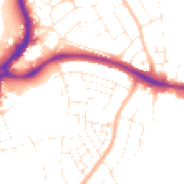
Daytime· 07:00 – 23:00
50.7dB

Night-time· 23:00 – 07:00
40.9dB