27 Mackie Grove, Filton, Bristol, BS34 7NG
About 27 Mackie Grove
27 Mackie Grove is a three-bedroom semi-detached house in Filton, Bristol, Bristol (BS34 7NG). It has a recorded floor area of 93 m² (around 1001 sq ft), construction records dating it to 1930-1949 and council tax band C. The latest certificate (August 2022) shows a D (score 67), on the cusp of jumping into the C band. The recommended improvements would lift it to B (score 87), a 2-band jump. Records show the property has been extended at some point in its history.
Most recent transfer: January 2023 at £400,000. Across the public record there are 4 sales, relatively high churn for a single property. Across 1998–2023, sale prices on this property compounded at 8.4% per year. Today's modelled estimate of £447,000 is 11.7% above the 2023 sale price. On a £-per-square-foot basis, the last sale (£400/sq ft) was about 69.2% above the typical sold price in the postcode.
What this property has
Inside
- Bedrooms3
- Bathrooms1
- Open-plan layoutYes
Outside
- Private gardenSouth-facing
- ParkingOff street
Building
- Previously extendedYes
- RefurbishedYes
Everything you need to know about 27 Mackie Grove
The true value, the hidden risks and the full sale history, in one report.
Pick your report · every report is £14.99
One time fee only - money back guarantee

The data behind every report


Energy performance
Recommended upgrades on file would lift this property by multiple EPC bands.
EPC Rating
Get a survey for this property
Level 3 Building Survey
Because the property has been extended more than once and has solid (non-cavity) walls, we believe a Level 3 building survey should be considered.
From £1,020 · Includes VAT
Planning history
27 Mackie Grove has no planning applications on record.
But the area is active
130 notable applications nearby — larger schemes and conversions that could reshape the street. The report maps them all.
Sales history & valuation
Price for 27 Mackie Grove has grown more than fourfold since the 1998 starting point.
£447,000
Modelled from EPC, postcode comparables and a sale-price growth of 8.4% per year over 24 years.
£400,000
Growth on file: 8.4% per year over 24 years.
Sales timeline
6 January 2023Most recent
£400,000
+204.2%over 20 years29 September 2002
£131,500
+70.8%over 3 years10 June 1999
£77,000
+35.1%11 December 1998
£57,000
Median price across the last 5 sales in BS34 7NG: £340,000 (2023–2020).
Nearby sales in BS34 7NG
25 Mackie Grove, Filton, Bristol, BS34 7NG
Sold Nov 2023
£270,00023 Mackie Grove, Filton, Bristol, BS34 7NG
Sold Jul 2021
£425,0007 Mackie Grove, Filton, Bristol, BS34 7NG
Sold Oct 2020
£340,00041 Mackie Grove, Filton, Bristol, BS34 7NG
Sold Oct 2020
£340,00035 Mackie Grove, Filton, Bristol, BS34 7NG
Sold Sept 2020
£285,000
Versus other Mackie Grove homes
On price per m², 27 Mackie Grove stands well clear of the street.
Price per m²
£4,301
Street avg £2,940
Floor Area
93 m²
Street avg 92 m²
Habitable Rooms
4 rooms
Street avg 5 rooms
CO₂ Emissions
3.6 t/year
Street avg 4.5 t/year
Everything you need to know about 27 Mackie Grove
The true value, the hidden risks and the full sale history, in one report.
Pick your report · every report is £14.99
One time fee only - money back guarantee
The data behind every report
Similar properties nearby
1 Charlton Avenue
BS34 7QX
1 Glebelands Road, Filton
BS34 7AD
1 Concorde House, Bevan Court, Filton
BS34 7QN
1 Blenheim Drive, Filton
BS34 7AX
1 Canberra Grove, Filton
BS34 7DH
1 Clyde Grove, Filton
BS34 7RL
1 Elm Park, Filton
BS34 7PR
1 Dunkeld Avenue, Filton
BS34 7RH
The neighbourhood at a glance
Rail-style transport is unusually close for this postcode.
Crime
6/mo
Steady year-on-year across the wider district.
Nearest stop
0.2 km
Shellard Road — bus stop.
Closest school
0.5 km
Shield Road Primary School. 24 schools nearby.
Go deeper on the local area
A Local Area report breaks down crime, transport links, schools and air quality in depth.
Road noise across the postcode
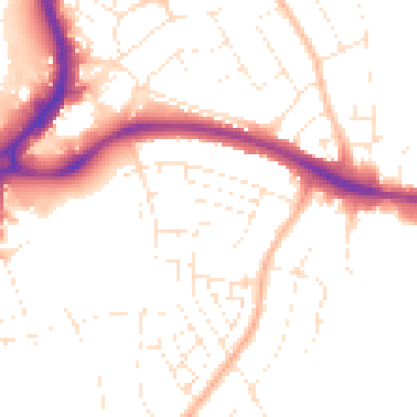
Daytime· 07:00 – 23:00
50.7dB

Night-time· 23:00 – 07:00
40.9dB