35 Mackie Avenue, Filton, Bristol, BS34 7NE
About 35 Mackie Avenue
35 Mackie Avenue is a four-bedroom semi-detached house in Filton, Bristol, Bristol (BS34 7NE). It has a recorded floor area of 114 m² (around 1227 sq ft), construction records dating it to 1930-1949 and council tax band C. The latest certificate (April 2025) shows a D (score 68), on the cusp of jumping into the C band. When first surveyed in October 2009 the rating was E, the property has climbed 1 band since. Between certificates, roof efficiency went from Average to Very Good, hot-water efficiency went from Poor to Good and main heating went from Average to Good; while wall efficiency dropped from Poor to Very Poor. The recommended improvements would lift it to B (score 86), a 2-band jump. Records show the property has been extended at some point in its history.
It changed hands recently, sold October 2025 for £425,000. At 114 m² it's 22.6% larger than the typical home in the postcode (93 m² median across 11 EPCs). Across 1996–2025, sale prices on this property compounded at 7.5% per year. On a £-per-square-foot basis, the last sale (£346/sq ft) was about 72.6% above the typical sold price in the postcode.
What this property has
Inside
- Bedrooms4
- Bathrooms2
Outside
- Private gardenRear
Building
- Previously extendedYes
Everything you need to know about 35 Mackie Avenue
The true value, the hidden risks and the full sale history, in one report.
Pick your report · every report is £14.99
One time fee only - money back guarantee

The data behind every report


Energy performance
Recommended upgrades on file would lift this property by multiple EPC bands.
EPC Rating
Property Improvements
Changes detected from historical EPC data
Heating controls upgraded for better temperature management
Hot water system upgraded
Roof insulation improved
Get a survey for this property
Level 3 Building Survey
Because the property has solid (non-cavity) walls, we believe a Level 3 building survey should be considered.
From £1,020 · Includes VAT
Planning history
35 Mackie Avenue has no planning applications on record.
But the area is active
130 notable applications nearby — larger schemes and conversions that could reshape the street. The report maps them all.
Sales history & valuation
Price for 35 Mackie Avenue has grown more than fourfold since the 1996 starting point.
£443,000
Modelled from EPC, postcode comparables and a sale-price growth of 7.5% per year over 29 years.
£425,000
Growth on file: 7.5% per year over 29 years.
Sales timeline
21 October 2025Most recent
£425,000
+214.8%over 15 years14 July 2010
£135,000
+154.7%over 13 years15 November 1996
£53,000
Median price across the last 5 sales in BS34 7NE: £380,000 (2025–2020).
Nearby sales in BS34 7NE
47 Mackie Avenue, Filton, Bristol, BS34 7NE
Sold Feb 2025
£430,00011 Mackie Avenue, Filton, Bristol, BS34 7NE
Sold Apr 2024
£380,00041 Mackie Avenue, Filton, Bristol, BS34 7NE
Sold Nov 2022
£417,50045 Mackie Avenue, Filton, Bristol, BS34 7NE
Sold Nov 2020
£350,0009 Mackie Avenue, Filton, Bristol, BS34 7NE
Sold Aug 2018
£262,000
Versus other Mackie Avenue homes
On years held, 35 Mackie Avenue runs well behind the street norm.
Price per m²
£3,728
Street avg £2,834
Floor Area
114 m²
Street avg 93 m²
Habitable Rooms
6 rooms
Street avg 6 rooms
CO₂ Emissions
4.1 t/year
Street avg 4.5 t/year
Everything you need to know about 35 Mackie Avenue
The true value, the hidden risks and the full sale history, in one report.
Pick your report · every report is £14.99
One time fee only - money back guarantee
The data behind every report
Similar properties nearby
1 Clyde Grove, Filton
BS34 7RL
1 Charlton Avenue
BS34 7QX
1 Dunkeld Avenue, Filton
BS34 7RH
1 Glebelands Road, Filton
BS34 7AD
1 Concorde House, Bevan Court, Filton
BS34 7QN
1 Blenheim Drive, Filton
BS34 7AX
1 Canberra Grove, Filton
BS34 7DH
1 Hollyleigh Avenue
BS34 7QU
The neighbourhood at a glance
Rail-style transport is unusually close for this postcode.
Crime
6/mo
Steady year-on-year across the wider district.
Nearest stop
0.1 km
King George VI — bus stop.
Closest school
0.5 km
Shield Road Primary School. 23 schools nearby.
Go deeper on the local area
A Local Area report breaks down crime, transport links, schools and air quality in depth.
Road noise across the postcode
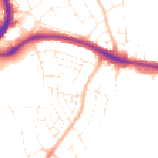
Daytime· 07:00 – 23:00
49.5dB

Night-time· 23:00 – 07:00
39.9dB