3 Mackie Avenue, Filton, Bristol, BS34 7NE
About 3 Mackie Avenue
3 Mackie Avenue is a three-bedroom semi-detached house in Filton, Bristol, Bristol (BS34 7NE). It has a recorded floor area of 74 m² (around 797 sq ft), construction records dating it to before 1900 and council tax band C. The latest certificate (May 2015) shows a D (score 55), a step below the typical UK home. The recommended improvements would lift it to B (score 83), a 2-band jump. The latest certificate is from May 2015, so improvements made since then won't be reflected. Records show the property has been extended at some point in its history.
Across 1998–2015, sale prices on this property compounded at 7.2% per year. Today's modelled estimate of £358,000 sits 62.7% above the 2015 sale of £220,000. On a £-per-square-foot basis, the last sale (£276/sq ft) was about 37.7% above the typical sold price in the postcode. On the market in September 2015 and unlisted since — roughly 11 years. At 74 m² it's 22.3% smaller than the typical home in the postcode (95 m² median across 11 EPCs).
What this property has
Inside
- Bedrooms3
- Bathrooms1
Outside
- Private gardenYes
Building
- Heating systemGas
- Previously extendedYes
- RefurbishedYes
Everything you need to know about 3 Mackie Avenue
The true value, the hidden risks and the full sale history, in one report.
Pick your report · every report is £14.99
One time fee only - money back guarantee

The data behind every report


Energy performance
Recommended upgrades on file would lift this property by multiple EPC bands.
EPC Expired
This certificate is over 10 years old and is no longer valid.Expired 06 May 2025
EPC Rating
Get a survey for this property
Level 3 Building Survey
Because the property was built before 1919, has no mains gas supply, and has solid (non-cavity) walls, we believe a Level 3 building survey should be considered.
From £955 · Includes VAT
Planning history
3 Mackie Avenue has no planning applications on record.
But the area is active
130 notable applications nearby — larger schemes and conversions that could reshape the street. The report maps them all.
Sales history & valuation
3 Mackie Avenue has more than tripled in price since its earliest registered sale in 1998.
£358,000
Modelled from EPC, postcode comparables and a sale-price growth of 7.2% per year over 17 years.
£220,000
Growth on file: 7.2% per year over 17 years.
Sales timeline
22 September 2015Most recent
£220,000
+62.4%over 12 years24 April 2003
£135,500
+106.9%over 5 years16 April 1998
£65,500
Median price across the last 5 sales in BS34 7NE: £417,500 (2025–2020).
Nearby sales in BS34 7NE
35 Mackie Avenue, Filton, Bristol, BS34 7NE
Sold Oct 2025
£425,00047 Mackie Avenue, Filton, Bristol, BS34 7NE
Sold Feb 2025
£430,00011 Mackie Avenue, Filton, Bristol, BS34 7NE
Sold Apr 2024
£380,00041 Mackie Avenue, Filton, Bristol, BS34 7NE
Sold Nov 2022
£417,50045 Mackie Avenue, Filton, Bristol, BS34 7NE
Sold Nov 2020
£350,000
Versus other Mackie Avenue homes
On floor area, 3 Mackie Avenue runs well behind the street norm.
Price per m²
£2,973
Street avg £2,910
Floor Area
74 m²
Street avg 97 m²
Habitable Rooms
5 rooms
Street avg 6 rooms
CO₂ Emissions
4.0 t/year
Street avg 4.5 t/year
Everything you need to know about 3 Mackie Avenue
The true value, the hidden risks and the full sale history, in one report.
Pick your report · every report is £14.99
One time fee only - money back guarantee
The data behind every report
Similar properties nearby
1 Glebelands Road, Filton
BS34 7AD
1 Concorde House, Bevan Court, Filton
BS34 7QN
1 Blenheim Drive, Filton
BS34 7AX
1 Canberra Grove, Filton
BS34 7DH
1 Charlton Avenue
BS34 7QX
1 Elm Park, Filton
BS34 7PR
1 Clyde Grove, Filton
BS34 7RL
1 Dunkeld Avenue, Filton
BS34 7RH
The neighbourhood at a glance
Rail-style transport is unusually close for this postcode.
Crime
6/mo
Steady year-on-year across the wider district.
Nearest stop
0.1 km
King George VI — bus stop.
Closest school
0.5 km
Shield Road Primary School. 23 schools nearby.
Go deeper on the local area
A Local Area report breaks down crime, transport links, schools and air quality in depth.
Road noise across the postcode
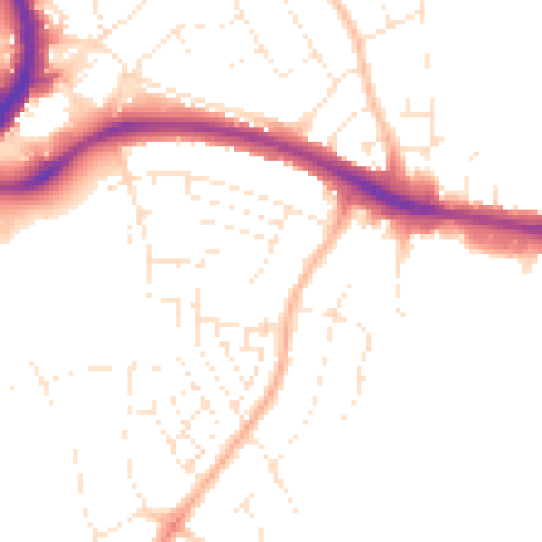
Daytime· 07:00 – 23:00
49.5dB

Night-time· 23:00 – 07:00
39.9dB