16 Mackie Road, Filton, Bristol, BS34 7LY
About 16 Mackie Road
16 Mackie Road is a three-bedroom detached house in Filton, Bristol, Bristol (BS34 7LY). It has a recorded floor area of 65 m² (around 700 sq ft), construction records dating it to 1930-1949 and council tax band C. The latest certificate (January 2021) shows a D (score 60), on the cusp of jumping into the C band. When first surveyed in February 2011 the rating was E, the property has climbed 1 band since. Between certificates, wall efficiency went from Very Poor to Poor, roof efficiency went from Poor to Good and lighting went from Good to Very Good. The recommended improvements would lift it to B (score 83), a 2-band jump.
It hasn't traded since May 1998, a hold of 28 years that's notably long for the area. Only one transfer is on record with HM Land Registry, suggesting it has stayed in the same hands for a long time. Today's modelled estimate of £305,000 sits 535.4% above the 1998 sale of £48,000. On a £-per-square-foot basis, the last sale (£69/sq ft) was about 61.3% below the postcode norm.
What this property has
Inside
- Bedrooms3
- Bathrooms1
Outside
- Private gardenRear
Everything you need to know about 16 Mackie Road
The true value, the hidden risks and the full sale history, in one report.
Pick your report · every report is £14.99
One time fee only - money back guarantee

The data behind every report


Energy performance
Recommended upgrades on file would lift this property by multiple EPC bands.
EPC Rating
Property Improvements
Changes detected from historical EPC data
Heating controls changed
Windows upgraded, improving insulation
Wall insulation improved
More low energy lighting installed
Get a survey for this property
Level 2 HomeBuyer Report
We've checked 10 risk factors against the available data for this property and believe a Level 2 HomeBuyer Report could be a suitable option for you.
From £595 · Includes VAT
Planning history
16 Mackie Road has no planning applications on record.
But the area is active
130 notable applications nearby — larger schemes and conversions that could reshape the street. The report maps them all.
Sales history & valuation
16 Mackie Road's modelled value sits at over four times its earliest registered sale price (1998).
£305,000
Modelled from EPC, postcode comparables.
£48,000
Recorded with HM Land Registry.
Sales timeline
18 May 1998Most recent
£48,000
Median price across the last 5 sales in BS34 7LY: £300,000 (2023–2019).
Nearby sales in BS34 7LY
14 Mackie Road, Filton, Bristol, BS34 7LY
Sold May 2023
£305,00022 Mackie Road, Filton, Bristol, BS34 7LY
Sold Jan 2023
£300,00018 Mackie Road, Filton, Bristol, BS34 7LY
Sold Nov 2022
£407,5007 Mackie Road, Filton, Bristol, BS34 7LY
Sold Aug 2021
£217,5003a, Mackie Road, Filton, Bristol, BS34 7LY
Sold Jun 2019
£215,200
Versus other Mackie Road homes
On price per m², 16 Mackie Road runs well behind the street norm.
Price per m²
£738
Street avg £3,620
Floor Area
65 m²
Street avg 72 m²
Habitable Rooms
4 rooms
Street avg 4 rooms
CO₂ Emissions
3.5 t/year
Street avg 2.8 t/year
Everything you need to know about 16 Mackie Road
The true value, the hidden risks and the full sale history, in one report.
Pick your report · every report is £14.99
One time fee only - money back guarantee
The data behind every report
Similar properties nearby
1 Canberra Grove, Filton
BS34 7DH
1 Blenheim Drive, Filton
BS34 7AX
1 Concorde House, Bevan Court, Filton
BS34 7QN
1 Glebelands Road, Filton
BS34 7AD
1 Charlton Avenue
BS34 7QX
1 Elm Park, Filton
BS34 7PR
1 Clyde Grove, Filton
BS34 7RL
1 Dunkeld Avenue, Filton
BS34 7RH
The neighbourhood at a glance
Rail-style transport is unusually close for this postcode.
Crime
6/mo
Steady year-on-year across the wider district.
Nearest stop
0.1 km
Shellard Road — bus stop.
Closest school
0.5 km
Shield Road Primary School. 24 schools nearby.
Go deeper on the local area
A Local Area report breaks down crime, transport links, schools and air quality in depth.
Road noise across the postcode
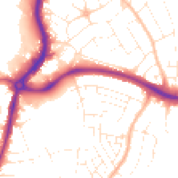
Daytime· 07:00 – 23:00
52.2dB

Night-time· 23:00 – 07:00
42.2dB