7 Mortimer Road, Filton, Bristol, BS34 7LE
About 7 Mortimer Road
7 Mortimer Road is a three-bedroom property in Filton, Bristol, Bristol (BS34 7LE). It has council tax band B. Period features are noted in the property record.
It hasn't traded since May 2002, a hold of 24 years that's notably long for the area.
What this property has
Inside
- Bedrooms3
Building
- Heating systemGas
- Period featuresYes
Everything you need to know about 7 Mortimer Road
The true value, the hidden risks and the full sale history, in one report.
Pick your report · every report is £14.99
One time fee only - money back guarantee

The data behind every report


Energy performance
No EPC on record
This property doesn't have an Energy Performance Certificate yet. An EPC is required to sell or let — and unlocks our automated valuation.
Get a survey for this property
Level 2 HomeBuyer Report
We've checked 10 risk factors against the available data for this property and believe a Level 2 HomeBuyer Report could be a suitable option for you.
Planning history
7 Mortimer Road has no planning applications on record.
But the area is active
130 notable applications nearby — larger schemes and conversions that could reshape the street. The report maps them all.
Sales history & valuation
£96,500
Recorded with HM Land Registry.
Sales timeline
23 May 2002Most recent
£96,500
Median price across the last 5 sales in BS34 7LE: £311,500 (2025–2020).
Nearby sales in BS34 7LE
9 Mortimer Road, Filton, Bristol, BS34 7LE
Sold Jul 2025
£311,5003 Mortimer Road, Filton, Bristol, BS34 7LE
Sold Jul 2024
£410,00043 Mortimer Road, Filton, Bristol, BS34 7LE
Sold Aug 2023
£315,00031 Mortimer Road, Filton, Bristol, BS34 7LE
Sold May 2022
£285,00019 Mortimer Road, Filton, Bristol, BS34 7LE
Sold Dec 2020
£292,000
Everything you need to know about 7 Mortimer Road
The true value, the hidden risks and the full sale history, in one report.
Pick your report · every report is £14.99
One time fee only - money back guarantee
The data behind every report
Similar properties nearby
1 Canberra Grove, Filton
BS34 7DH
1 Blenheim Drive, Filton
BS34 7AX
1 Concorde House, Bevan Court, Filton
BS34 7QN
1 Glebelands Road, Filton
BS34 7AD
1 Charlton Avenue
BS34 7QX
1 Elm Park, Filton
BS34 7PR
1 Clyde Grove, Filton
BS34 7RL
1 Mackie Road, Filton
BS34 7LY
The neighbourhood at a glance
Rail-style transport is unusually close for this postcode.
Crime
6/mo
Steady year-on-year across the wider district.
Nearest stop
0.1 km
Wallscourt Road — bus stop.
Closest school
0.4 km
Shield Road Primary School. 20 schools nearby.
Go deeper on the local area
A Local Area report breaks down crime, transport links, schools and air quality in depth.
Road noise across the postcode
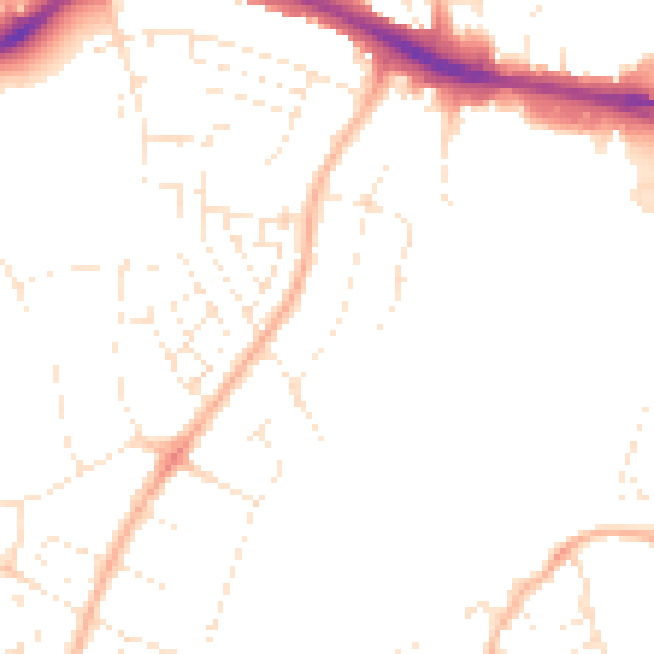
Daytime· 07:00 – 23:00
48.0dB

Night-time· 23:00 – 07:00
38.4dB