39 Branksome Drive, Filton, Bristol, BS34 7EG
About 39 Branksome Drive
39 Branksome Drive is a four-bedroom semi-detached house in Filton, Bristol, Bristol (BS34 7EG). It has a recorded floor area of 79 m² (around 850 sq ft), construction records dating it to 1930-1949 and council tax band B. The latest certificate (May 2024) shows a D (score 61), on the cusp of jumping into the C band. Earlier certificates rated it C (December 2010); the latest reading is one band lower. Between certificates, wall efficiency dropped from Good to Poor and window efficiency dropped from Good to Average. The recommended improvements would lift it to B (score 81), a 2-band jump.
Across 1999–2014, sale prices on this property compounded at 8.3% per year. Today's modelled estimate of £335,000 sits 63.4% above the 2014 sale of £205,000. Last sold in December 2014, so it's been off the market for around 11 years. Across the public record there are 4 sales, relatively high churn for a single property. One planning record on file: an extension approved in 2012. Past consents include an extension and a conservatory, meaningful when judging how the property has evolved.
What this property has
Inside
- Bedrooms4
- Bathrooms1
Outside
- Private gardenYes
- DrivewayYes
Everything you need to know about 39 Branksome Drive
The true value, the hidden risks and the full sale history, in one report.
Pick your report · every report is £14.99
One time fee only - money back guarantee

The data behind every report


Energy performance
Recommended upgrades on file would lift this property by multiple EPC bands.
EPC Rating
Property Improvements
Changes detected from historical EPC data
Low energy lighting percentage decreased
Heating controls upgraded for better temperature management
Loft insulation upgraded to recommended levels
More low energy lighting installed
Get a survey for this property
Level 3 Building Survey
Because the property has been extended more than once, we believe a Level 3 building survey should be considered.
From £955 · Includes VAT
Planning history
1 application on record at 39 Branksome Drive, Filton, Bristol, BS34 7EG
- Oct 2012ConservatoryFullOutcome in report
Extension: Rear of property
Erection of rear conservatory and extension of raised rear decking area.
Extension- Documents
- 13 docs on file
- Reference
- PT12/2125/F
Unlock 39 Branksome Drive, Filton, Bristol, BS34 7EG's full planning history
You're seeing the shape of it. The report has the substance.
- Every decision — granted, refused or withdrawn (1 on record)
- All 1 application on this property in full, plus 130 notable nearby
- The 13 documents, officer reports & conditions
- What the pattern means for extending or converting here
One time fee only - money back guarantee
Sales history & valuation
39 Branksome Drive has more than tripled in price since its earliest registered sale in 1999.
£335,000
Modelled from EPC, postcode comparables and a sale-price growth of 8.3% per year over 15 years.
£205,000
Growth on file: 8.3% per year over 15 years.
Sales timeline
19 December 2014Most recent
£205,000
+33.6%over 6 years7 November 2008
£153,500
-7.0%21 September 2008
£165,000
+175.0%over 9 years5 August 1999
£59,999
Median price across the last 5 sales in BS34 7EG: £320,000 (2024–2021).
Nearby sales in BS34 7EG
29 Branksome Drive, Filton, Bristol, BS34 7EG
Sold Oct 2024
£320,0005 Branksome Drive, Filton, Bristol, BS34 7EG
Sold Oct 2023
£285,0009 Branksome Drive, Filton, Bristol, BS34 7EG
Sold Oct 2022
£432,0001 Branksome Drive, Filton, Bristol, BS34 7EG
Sold May 2022
£357,50019 Branksome Drive, Filton, Bristol, BS34 7EG
Sold Jun 2021
£318,000
Versus other Branksome Drive homes
On habitable rooms, 39 Branksome Drive runs well behind the street norm.
Price per m²
£2,595
Street avg £3,074
Floor Area
79 m²
Street avg 87 m²
Habitable Rooms
4 rooms
Street avg 5 rooms
CO₂ Emissions
3.8 t/year
Street avg 3.4 t/year
Everything you need to know about 39 Branksome Drive
The true value, the hidden risks and the full sale history, in one report.
Pick your report · every report is £14.99
One time fee only - money back guarantee
The data behind every report
Similar properties nearby
1 Clyde Grove, Filton
BS34 7RL
1 Concorde House, Bevan Court, Filton
BS34 7QN
1 Blenheim Drive, Filton
BS34 7AX
1 Canberra Grove, Filton
BS34 7DH
1 Glebelands Road, Filton
BS34 7AD
1 Charlton Avenue
BS34 7QX
1 Dunkeld Avenue, Filton
BS34 7RH
1 Elm Park, Filton
BS34 7PR
The neighbourhood at a glance
Rail-style transport is unusually close for this postcode.
Crime
6/mo
Steady year-on-year across the wider district.
Nearest stop
0.2 km
Filton Church — bus stop.
Closest school
0.5 km
Filton Hill Primary School. 24 schools nearby.
Go deeper on the local area
A Local Area report breaks down crime, transport links, schools and air quality in depth.
Road noise across the postcode
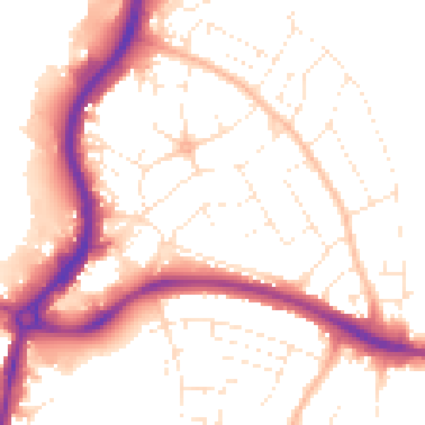
Daytime· 07:00 – 23:00
52.8dB

Night-time· 23:00 – 07:00
43.3dB