29 Branksome Drive, Filton, Bristol, BS34 7EG
About 29 Branksome Drive
29 Branksome Drive is an end-of-terrace house in Filton, Bristol, Bristol (BS34 7EG). It has a recorded floor area of 81 m² (around 872 sq ft), construction records dating it to 1930-1949 and council tax band B. The latest certificate (October 2014) shows a D (score 65), on the cusp of jumping into the C band. When first surveyed in January 2013 the rating was E, the property has climbed 1 band since. Between certificates, hot-water efficiency went from Average to Good; while window efficiency dropped from Average to Poor. The recommended improvements would lift it to B (score 83), a 2-band jump. The latest certificate is from October 2014, so improvements made since then won't be reflected.
Last sale on file: £320,000 in October 2024. Across the public record there are 4 sales, relatively high churn for a single property. Across 2013–2024, sale prices on this property compounded at 7.4% per year. On a £-per-square-foot basis, the last sale (£367/sq ft) was about 71.4% above the typical sold price in the postcode.
Everything you need to know about 29 Branksome Drive
The true value, the hidden risks and the full sale history, in one report.
Pick your report · every report is £14.99
One time fee only - money back guarantee

The data behind every report


Energy performance
Recommended upgrades on file would lift this property by multiple EPC bands.
EPC Expired
This certificate is over 10 years old and is no longer valid.Expired 13 Oct 2024
EPC Rating
Property Improvements
Changes detected from historical EPC data
Heating controls upgraded for better temperature management
Hot water system upgraded
Get a survey for this property
Level 3 Building Survey
Because the property has been extended more than once, we believe a Level 3 building survey should be considered.
From £955 · Includes VAT
Planning history
29 Branksome Drive has no planning applications on record.
But the area is active
130 notable applications nearby — larger schemes and conversions that could reshape the street. The report maps them all.
Sales history & valuation
Sale price has at least doubled since 2013.
£348,000
Modelled from EPC, postcode comparables and a sale-price growth of 7.4% per year over 11 years.
£320,000
Growth on file: 7.4% per year over 11 years.
Sales timeline
31 October 2024Most recent
£320,000
+10.3%over 4 years14 April 2020
£290,000
+35.8%over 5 years30 January 2015
£213,500
+50.4%over 1 year26 June 2013
£142,000
Median price across the last 5 sales in BS34 7EG: £318,000 (2023–2021).
Nearby sales in BS34 7EG
5 Branksome Drive, Filton, Bristol, BS34 7EG
Sold Oct 2023
£285,0009 Branksome Drive, Filton, Bristol, BS34 7EG
Sold Oct 2022
£432,0001 Branksome Drive, Filton, Bristol, BS34 7EG
Sold May 2022
£357,50019 Branksome Drive, Filton, Bristol, BS34 7EG
Sold Jun 2021
£318,00013 Branksome Drive, Filton, Bristol, BS34 7EG
Sold May 2021
£285,000
Versus other Branksome Drive homes
29 Branksome Drive is notably below the street on years held.
Price per m²
£3,951
Street avg £2,977
Floor Area
81 m²
Street avg 86 m²
Habitable Rooms
4 rooms
Street avg 5 rooms
CO₂ Emissions
3.3 t/year
Street avg 3.4 t/year
Everything you need to know about 29 Branksome Drive
The true value, the hidden risks and the full sale history, in one report.
Pick your report · every report is £14.99
One time fee only - money back guarantee
The data behind every report
Similar properties nearby
1 Conygre Road, Filton
BS34 7DA
1 Elm Park, Filton
BS34 7PR
1 Branksome Drive, Filton
BS34 7EG
1 Bude Road, Filton
BS34 7HN
1 Concorde House, Bevan Court, Filton
BS34 7QN
1 Glebelands Road, Filton
BS34 7AD
1 Blenheim Drive, Filton
BS34 7AX
1 Mackie Grove, Filton
BS34 7NG
The neighbourhood at a glance
Rail-style transport is unusually close for this postcode.
Crime
6/mo
Steady year-on-year across the wider district.
Nearest stop
0.2 km
Filton Church — bus stop.
Closest school
0.5 km
Filton Hill Primary School. 24 schools nearby.
Go deeper on the local area
A Local Area report breaks down crime, transport links, schools and air quality in depth.
Road noise across the postcode
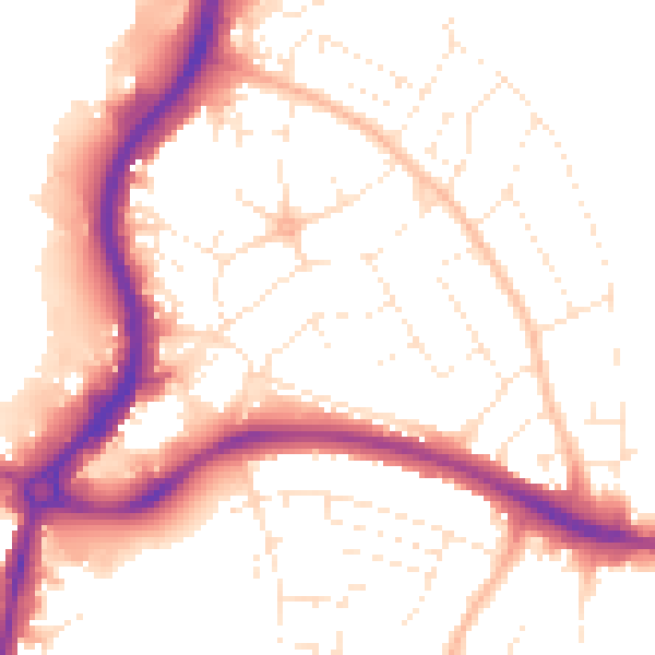
Daytime· 07:00 – 23:00
52.8dB

Night-time· 23:00 – 07:00
43.3dB