3 Branksome Drive, Filton, Bristol, BS34 7EG
About 3 Branksome Drive
3 Branksome Drive is an end-of-terrace house in Filton, Bristol, Bristol (BS34 7EG). It has a recorded floor area of 98 m² (around 1055 sq ft), construction records dating it to before 1900 and council tax band B. The latest certificate (June 2022) shows a C (score 71). When first surveyed in April 2012 the rating was E, the property has climbed 2 bands since. Between certificates, wall efficiency went from Very Poor to Poor, window efficiency went from Average to Good and lighting went from Good to Very Good. The recommended improvements would push it to B (score 85).
2 planning records sit against the property, 1 approved, 0 refused. Past consents include an extension, meaningful when judging how the property has evolved. At 98 m² it's 24.1% larger than the typical home in the postcode (79 m² median across 15 EPCs). Across 2013–2021, sale prices on this property compounded at 11.9% per year. On a £-per-square-foot basis, the last sale (£324/sq ft) was about 49.9% above the typical sold price in the postcode. Sold March 2021 for £342,000. That sale was during the post-pandemic price surge, when transactions cleared materially above pre-2020 trend.
Everything you need to know about 3 Branksome Drive
The true value, the hidden risks and the full sale history, in one report.
Pick your report · every report is £14.99
One time fee only - money back guarantee

The data behind every report


Energy performance
EPC Rating
Property Improvements
Changes detected from historical EPC data
Heating controls upgraded for better temperature management
Window efficiency improved
Wall insulation improved
More low energy lighting installed
Get a survey for this property
Level 3 Building Survey
Because the property was built before 1919, has been extended more than once, and has solid (non-cavity) walls, we believe a Level 3 building survey should be considered.
From £955 · Includes VAT
Planning history
3 Branksome Drive has an approved side and rear extension on the planning record.
2 applications on record at 3 Branksome Drive, Filton, Bristol, BS34 7EG
- Jan 2017ExtensionFullOutcome in report
Extension: Side and rear of property
Erection of two storey side extension and single storey rear extension to provide additional living accommodation.
- Documents
- 33 docs on file
- Reference
- PT16/6450/F
- More recent applications — locked
- AmendmentJan 2018Decision
Unlock 3 Branksome Drive, Filton, Bristol, BS34 7EG's full planning history
You're seeing the shape of it. The report has the substance.
- Every decision — granted, refused or withdrawn (2 on record)
- All 2 applications on this property in full, plus 130 notable nearby
- The 51 documents, officer reports & conditions
- What the pattern means for extending or converting here
One time fee only - money back guarantee
Sales history & valuation
Sale price has at least doubled since 2013.
£326,000
Modelled from EPC, postcode comparables and a sale-price growth of 11.9% per year over 8 years.
£342,000
Growth on file: 11.9% per year over 8 years.
Sales timeline
31 March 2021Most recent
£342,000
+144.3%over 7 years10 April 2013
£140,000
Median price across the last 5 sales in BS34 7EG: £320,000 (2024–2021).
Nearby sales in BS34 7EG
29 Branksome Drive, Filton, Bristol, BS34 7EG
Sold Oct 2024
£320,0005 Branksome Drive, Filton, Bristol, BS34 7EG
Sold Oct 2023
£285,0009 Branksome Drive, Filton, Bristol, BS34 7EG
Sold Oct 2022
£432,0001 Branksome Drive, Filton, Bristol, BS34 7EG
Sold May 2022
£357,50019 Branksome Drive, Filton, Bristol, BS34 7EG
Sold Jun 2021
£318,000
Versus other Branksome Drive homes
3 Branksome Drive outperforms the street on habitable rooms by a wide margin.
Price per m²
£3,490
Street avg £3,010
Floor Area
98 m²
Street avg 85 m²
Habitable Rooms
7 rooms
Street avg 5 rooms
CO₂ Emissions
3.2 t/year
Street avg 3.4 t/year
Everything you need to know about 3 Branksome Drive
The true value, the hidden risks and the full sale history, in one report.
Pick your report · every report is £14.99
One time fee only - money back guarantee
The data behind every report
Similar properties nearby
1 Blenheim Drive, Filton
BS34 7AX
1 Bude Road, Filton
BS34 7HN
1 Concorde House, Bevan Court, Filton
BS34 7QN
1 Branksome Drive, Filton
BS34 7EG
1 Brookfield, Filton
BS34 7DY
1 Canberra Grove, Filton
BS34 7DH
1 Elm Park, Filton
BS34 7PR
1 Conygre Road, Filton
BS34 7DA
The neighbourhood at a glance
Rail-style transport is unusually close for this postcode.
Crime
6/mo
Steady year-on-year across the wider district.
Nearest stop
0.2 km
Filton Church — bus stop.
Closest school
0.5 km
Filton Hill Primary School. 24 schools nearby.
Go deeper on the local area
A Local Area report breaks down crime, transport links, schools and air quality in depth.
Road noise across the postcode
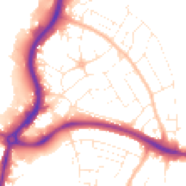
Daytime· 07:00 – 23:00
52.8dB

Night-time· 23:00 – 07:00
43.3dB