15 Branksome Drive, Filton, Bristol, BS34 7EG
About 15 Branksome Drive
15 Branksome Drive is a semi-detached house in Filton, Bristol, Bristol (BS34 7EG). It has a recorded floor area of 107 m² (around 1152 sq ft), construction records dating it to 1930-1949 and council tax band B. The latest certificate (November 2013) shows a D (score 66), on the cusp of jumping into the C band. The recommended improvements would lift it to B (score 81), a 2-band jump. The latest certificate is from November 2013, so improvements made since then won't be reflected.
It hasn't traded since February 2001, a hold of 25 years that's notably long for the area. Only one transfer is on record with HM Land Registry, suggesting it has stayed in the same hands for a long time. At 107 m² the property is well over the postcode median (79 m² across 15 EPCs), placing it in the larger end of the local stock. Today's modelled estimate of £354,000 sits 342.5% above the 2001 sale of £80,000. On a £-per-square-foot basis, the last sale (£69/sq ft) was about 68.1% below the postcode norm.
Everything you need to know about 15 Branksome Drive
The true value, the hidden risks and the full sale history, in one report.
Pick your report · every report is £14.99
One time fee only - money back guarantee

The data behind every report


Energy performance
Recommended upgrades on file would lift this property by multiple EPC bands.
EPC Expired
This certificate is over 10 years old and is no longer valid.Expired 18 Nov 2023
EPC Rating
Get a survey for this property
Level 2 HomeBuyer Report
We've checked 10 risk factors against the available data for this property and believe a Level 2 HomeBuyer Report could be a suitable option for you.
From £595 · Includes VAT
Planning history
15 Branksome Drive has no planning applications on record.
But the area is active
130 notable applications nearby — larger schemes and conversions that could reshape the street. The report maps them all.
Sales history & valuation
15 Branksome Drive's modelled value sits at over four times its earliest registered sale price (2001).
£354,000
Modelled from EPC, postcode comparables.
£80,000
Recorded with HM Land Registry.
Sales timeline
2 February 2001Most recent
£80,000
Median price across the last 5 sales in BS34 7EG: £320,000 (2024–2021).
Nearby sales in BS34 7EG
29 Branksome Drive, Filton, Bristol, BS34 7EG
Sold Oct 2024
£320,0005 Branksome Drive, Filton, Bristol, BS34 7EG
Sold Oct 2023
£285,0009 Branksome Drive, Filton, Bristol, BS34 7EG
Sold Oct 2022
£432,0001 Branksome Drive, Filton, Bristol, BS34 7EG
Sold May 2022
£357,50019 Branksome Drive, Filton, Bristol, BS34 7EG
Sold Jun 2021
£318,000
Versus other Branksome Drive homes
15 Branksome Drive is notably below the street on price per m².
Price per m²
£748
Street avg £3,206
Floor Area
107 m²
Street avg 85 m²
Habitable Rooms
6 rooms
Street avg 5 rooms
CO₂ Emissions
3.9 t/year
Street avg 3.3 t/year
Everything you need to know about 15 Branksome Drive
The true value, the hidden risks and the full sale history, in one report.
Pick your report · every report is £14.99
One time fee only - money back guarantee
The data behind every report
Similar properties nearby
1 Conygre Road, Filton
BS34 7DA
1 Elm Park, Filton
BS34 7PR
1 Glebelands Road, Filton
BS34 7AD
1 Branksome Drive, Filton
BS34 7EG
1 Bude Road, Filton
BS34 7HN
1 Concorde House, Bevan Court, Filton
BS34 7QN
1 Blenheim Drive, Filton
BS34 7AX
1 Mackie Grove, Filton
BS34 7NG
The neighbourhood at a glance
Rail-style transport is unusually close for this postcode.
Crime
6/mo
Steady year-on-year across the wider district.
Nearest stop
0.2 km
Filton Church — bus stop.
Closest school
0.5 km
Filton Hill Primary School. 24 schools nearby.
Go deeper on the local area
A Local Area report breaks down crime, transport links, schools and air quality in depth.
Road noise across the postcode
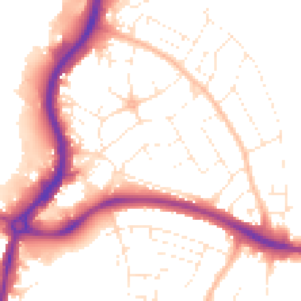
Daytime· 07:00 – 23:00
52.8dB

Night-time· 23:00 – 07:00
43.3dB