12 Gallivan Close, Little Stoke, Bristol, BS34 6RW
About 12 Gallivan Close
12 Gallivan Close is a property in Little Stoke, Bristol, Bristol (BS34 6RW). It has council tax band C.
Held since December 1999 — that's 26 years off the open market, well above the local norm. Across 1997–1999, sale prices on this property compounded at 9.7% per year.
Everything you need to know about 12 Gallivan Close
The true value, the hidden risks and the full sale history, in one report.
Pick your report · every report is £14.99
One time fee only - money back guarantee

The data behind every report


Energy performance
No EPC on record
This property doesn't have an Energy Performance Certificate yet. An EPC is required to sell or let — and unlocks our automated valuation.
Get a survey for this property
Level 2 HomeBuyer Report
We've checked 10 risk factors against the available data for this property and believe a Level 2 HomeBuyer Report could be a suitable option for you.
Planning history
12 Gallivan Close has no planning applications on record.
But the area is active
5 notable applications nearby — larger schemes and conversions that could reshape the street. The report maps them all.
Sales history & valuation
£76,950
Growth on file: 9.7% per year over 3 years.
Sales timeline
17 December 1999Most recent
£76,950
+28.2%over 2 years8 April 1997
£60,000
Median price across the last 5 sales in BS34 6RW: £297,500 (2025–2024).
Nearby sales in BS34 6RW
11 Gallivan Close, Little Stoke, Bristol, BS34 6RW
Sold Mar 2025
£305,00058 Gallivan Close, Little Stoke, Bristol, BS34 6RW
Sold Mar 2025
£290,00021 Gallivan Close, Little Stoke, Bristol, BS34 6RW
Sold Jan 2025
£297,50014 Gallivan Close, Little Stoke, Bristol, BS34 6RW
Sold May 2024
£260,00019 Gallivan Close, Little Stoke, Bristol, BS34 6RW
Sold Mar 2024
£330,000
Everything you need to know about 12 Gallivan Close
The true value, the hidden risks and the full sale history, in one report.
Pick your report · every report is £14.99
One time fee only - money back guarantee
The data behind every report
Similar properties nearby
1 Albion Terrace, The Common, Patchway
BS34 6AN
1 Amberley Road, Patchway
BS34 6BU
1 Ash Close, Little Stoke
BS34 6RE
1 Bibury Avenue, Patchway
BS34 6DE
1 Bourton Avenue, Patchway
BS34 6EB
1 Bourton Close, Patchway
BS34 6EQ
1 Bowsland Court, The Common East, Bradley Stoke
BS34 6BA
1 Braydon Avenue, Little Stoke
BS34 6EH
The neighbourhood at a glance
Rail-style transport is unusually close for this postcode.
Crime
6/mo
Steady year-on-year across the wider district.
Nearest stop
0.3 km
Farley Close — bus stop.
Closest school
0.2 km
Holy Family Catholic Primary School. 20 schools nearby.
Go deeper on the local area
A Local Area report breaks down crime, transport links, schools and air quality in depth.
Road noise across the postcode
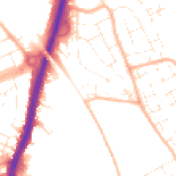
Daytime· 07:00 – 23:00
51.6dB

Night-time· 23:00 – 07:00
41.8dB