14 Stratton Close, Little Stoke, Bristol, BS34 6HD
About 14 Stratton Close
14 Stratton Close is a property in Little Stoke, Bristol, Bristol (BS34 6HD). It has council tax band B.
It hasn't traded since November 1996, a hold of 30 years that's notably long for the area. Only one transfer is on record with HM Land Registry, suggesting it has stayed in the same hands for a long time.
Everything you need to know about 14 Stratton Close
The true value, the hidden risks and the full sale history, in one report.
Pick your report · every report is £14.99
One time fee only - money back guarantee

The data behind every report


Energy performance
No EPC on record
This property doesn't have an Energy Performance Certificate yet. An EPC is required to sell or let — and unlocks our automated valuation.
Get a survey for this property
Level 2 HomeBuyer Report
We've checked 10 risk factors against the available data for this property and believe a Level 2 HomeBuyer Report could be a suitable option for you.
Planning history
14 Stratton Close has no planning applications on record.
But the area is active
5 notable applications nearby — larger schemes and conversions that could reshape the street. The report maps them all.
Sales history & valuation
Latest sale on 14 Stratton Close was the lowest on Land Registry record across the postcode.
£48,500
Recorded with HM Land Registry.
Sales timeline
15 November 1996Most recent
£48,500
Median price across the last 5 sales in BS34 6HD: £180,000 (2025–2006).
Nearby sales in BS34 6HD
1 Stratton Close, Little Stoke, Bristol, BS34 6HD
Sold Oct 2025
£320,00018 Stratton Close, Little Stoke, Bristol, BS34 6HD
Sold Feb 2022
£280,00015 Stratton Close, Little Stoke, Bristol, BS34 6HD
Sold Jul 2014
£180,0003 Stratton Close, Little Stoke, Bristol, BS34 6HD
Sold Apr 2006
£167,0005 Stratton Close, Little Stoke, Bristol, BS34 6HD
Sold Jan 2004
£124,000
Everything you need to know about 14 Stratton Close
The true value, the hidden risks and the full sale history, in one report.
Pick your report · every report is £14.99
One time fee only - money back guarantee
The data behind every report
Similar properties nearby
1 Albion Terrace, The Common, Patchway
BS34 6AN
1 Amberley Road, Patchway
BS34 6BU
1 Ash Close, Little Stoke
BS34 6RE
1 Bibury Avenue, Patchway
BS34 6DE
1 Bourton Avenue, Patchway
BS34 6EB
1 Bourton Close, Patchway
BS34 6EQ
1 Bowsland Court, The Common East, Bradley Stoke
BS34 6BA
1 Braydon Avenue, Little Stoke
BS34 6EH
The neighbourhood at a glance
Rail-style transport is unusually close for this postcode.
Crime
6/mo
Steady year-on-year across the wider district.
Nearest stop
0.1 km
Farley Close — bus stop.
Closest school
0.4 km
Stoke Lodge Primary School. 20 schools nearby.
Go deeper on the local area
A Local Area report breaks down crime, transport links, schools and air quality in depth.
Road noise across the postcode
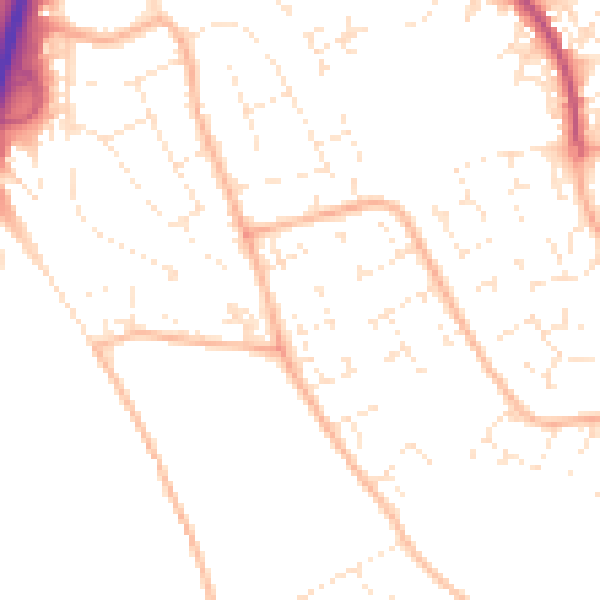
Daytime· 07:00 – 23:00
49.6dB

Night-time· 23:00 – 07:00
39.1dB