11 Ormsley Close, Little Stoke, Bristol, BS34 6EN
About 11 Ormsley Close
11 Ormsley Close is a mid-terrace house in Little Stoke, Bristol, Bristol (BS34 6EN). It has a recorded floor area of 68 m² (around 732 sq ft), construction records dating it to 1967-1975 and council tax band B. The latest certificate (February 2026) shows a C (score 69), just inside the C band. This certificate was lodged in the last six months, so the rating reflects current condition.
Untraded for 27 years, with the last transfer in December 1998. Across 1998–1998, sale prices on this property compounded at -4.5% per year. On a £-per-square-foot basis, the last sale (£72/sq ft) was about 73.7% below the postcode norm.
Everything you need to know about 11 Ormsley Close
The true value, the hidden risks and the full sale history, in one report.
Pick your report · every report is £14.99
One time fee only - money back guarantee

The data behind every report


Energy performance
The EPC has just been inspected, so the rating reflects current condition.
EPC Rating
Get a survey for this property
Level 2 HomeBuyer Report
We've checked 10 risk factors against the available data for this property and believe a Level 2 HomeBuyer Report could be a suitable option for you.
Planning history
11 Ormsley Close has no planning applications on record.
But the area is active
5 notable applications nearby — larger schemes and conversions that could reshape the street. The report maps them all.
Sales history & valuation
11 Ormsley Close changed hands twice within eighteen months — unusual for the area.
£52,500
Growth on file: -4.5% per year over 1 year.
Sales timeline
18 December 1998Most recent
£52,500
-4.5%28 June 1998
£55,000
Median price across the last 5 sales in BS34 6EN: £287,750 (2025–2021).
Nearby sales in BS34 6EN
21 Ormsley Close, Little Stoke, Bristol, BS34 6EN
Sold Jul 2025
£295,00020 Ormsley Close, Little Stoke, Bristol, BS34 6EN
Sold Mar 2025
£280,00010 Ormsley Close, Little Stoke, Bristol, BS34 6EN
Sold Aug 2024
£287,75036 Ormsley Close, Little Stoke, Bristol, BS34 6EN
Sold Jul 2024
£294,00022 Ormsley Close, Little Stoke, Bristol, BS34 6EN
Sold Sept 2021
£350,000
Versus other Ormsley Close homes
On price per m², 11 Ormsley Close runs well behind the street norm.
Price per m²
£772
Street avg £3,503
Floor Area
68 m²
Street avg 70 m²
Habitable Rooms
5 rooms
Street avg 5 rooms
CO₂ Emissions
1.9 t/year
Street avg 3.1 t/year
Everything you need to know about 11 Ormsley Close
The true value, the hidden risks and the full sale history, in one report.
Pick your report · every report is £14.99
One time fee only - money back guarantee
The data behind every report
Similar properties nearby
1 Albion Terrace, The Common, Patchway
BS34 6AN
1 Amberley Road, Patchway
BS34 6BU
1 Ash Close, Little Stoke
BS34 6RE
1 Bibury Avenue, Patchway
BS34 6DE
1 Bourton Avenue, Patchway
BS34 6EB
1 Bourton Close, Patchway
BS34 6EQ
1 Bowsland Court, The Common East, Bradley Stoke
BS34 6BA
1 Braydon Avenue, Little Stoke
BS34 6EH
The neighbourhood at a glance
Rail-style transport is unusually close for this postcode.
Crime
6/mo
Steady year-on-year across the wider district.
Nearest stop
0.1 km
Wroxham Drive — bus stop.
Closest school
0.3 km
Stoke Lodge Primary School. 20 schools nearby.
Go deeper on the local area
A Local Area report breaks down crime, transport links, schools and air quality in depth.
Road noise across the postcode
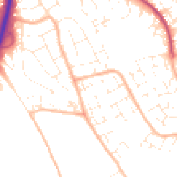
Daytime· 07:00 – 23:00
50.1dB

Night-time· 23:00 – 07:00
39.6dB