33 Ashford Road, Patchway, Bristol, BS34 5DX
About 33 Ashford Road
33 Ashford Road is a three-bedroom semi-detached house in Patchway, Bristol, Bristol (BS34 5DX). It has a recorded floor area of 78 m² (around 840 sq ft), construction records dating it to 1950-1966 and council tax band A. The latest certificate (January 2013) shows an E (score 44), well below the UK norm with real room to improve. The recommended improvements would lift it to C (score 78), a 2-band jump. The latest certificate is from January 2013, so improvements made since then won't be reflected.
On energy efficiency it sits in the bottom 10% of properties in this postcode — significant headroom for improvement. Across 2013–2022, sale prices on this property compounded at 9.5% per year. On a £-per-square-foot basis, the last sale (£360/sq ft) was about 126% above the typical sold price in the postcode. Most recent transfer: May 2022 at £302,500. That sale was during the post-pandemic price surge, when transactions cleared materially above pre-2020 trend.
What this property has
Inside
- Bedrooms3
- Bathrooms1
- Dining roomYes
Outside
- Private gardenYes
- ParkingOff street
Building
- Heating systemGas
- RefurbishedYes
Everything you need to know about 33 Ashford Road
The true value, the hidden risks and the full sale history, in one report.
Pick your report · every report is £14.99
One time fee only - money back guarantee

The data behind every report


Energy performance
33 Ashford Road sits at the bottom of the postcode for energy efficiency — meaningful headroom to improve.
EPC Expired
This certificate is over 10 years old and is no longer valid.Expired 29 Jan 2023
EPC Rating
Get a survey for this property
Level 2 HomeBuyer Report
We've checked 10 risk factors against the available data for this property and believe a Level 2 HomeBuyer Report could be a suitable option for you.
From £595 · Includes VAT
Planning history
33 Ashford Road has no planning applications on record.
But the area is active
11 notable applications nearby — larger schemes and conversions that could reshape the street. The report maps them all.
Sales history & valuation
33 Ashford Road has more than doubled in price since the earliest registered sale in 2013.
£315,000
Modelled from EPC, postcode comparables and a sale-price growth of 9.5% per year over 9 years.
£302,500
Growth on file: 9.5% per year over 9 years.
Sales timeline
30 May 2022Most recent
£302,500
+124.1%over 8 years27 June 2013
£135,000
Median price across the last 5 sales in BS34 5DX: £270,000 (2024–2020).
Nearby sales in BS34 5DX
35 Ashford Road, Patchway, Bristol, BS34 5DX
Sold Jul 2024
£295,00027 Ashford Road, Patchway, Bristol, BS34 5DX
Sold Apr 2022
£326,00023 Ashford Road, Patchway, Bristol, BS34 5DX
Sold Apr 2021
£270,00015 Ashford Road, Patchway, Bristol, BS34 5DX
Sold Aug 2020
£230,00021 Ashford Road, Patchway, Bristol, BS34 5DX
Sold Aug 2020
£245,000
Versus other Ashford Road homes
Price per m² for 33 Ashford Road runs comfortably ahead of the street norm.
Price per m²
£3,878
Street avg £2,475
Floor Area
78 m²
Street avg 89 m²
Habitable Rooms
5 rooms
Street avg 5 rooms
CO₂ Emissions
5.6 t/year
Street avg 3.7 t/year
Everything you need to know about 33 Ashford Road
The true value, the hidden risks and the full sale history, in one report.
Pick your report · every report is £14.99
One time fee only - money back guarantee
The data behind every report
Similar properties nearby
1 Donns Close, Patchway
BS34 5JW
1 Eagle Drive, Patchway
BS34 5RJ
1 Birch Close, Patchway
BS34 5SB
1 Clermont Close, Patchway
BS34 5QJ
1 Calves Garden, Patchway
BS34 5GZ
1 Buckleys Road, Patchway
BS34 5BJ
1 Broad Croft, Patchway
BS34 5FS
1 Eamoth Ground, Patchway
BS34 5SR
The neighbourhood at a glance
Rail-style transport is unusually close for this postcode.
Crime
6/mo
Steady year-on-year across the wider district.
Nearest stop
0.2 km
Fire Station — bus stop.
Closest school
0.4 km
Charlton Wood Primary Academy. 22 schools nearby.
Go deeper on the local area
A Local Area report breaks down crime, transport links, schools and air quality in depth.
Road noise across the postcode
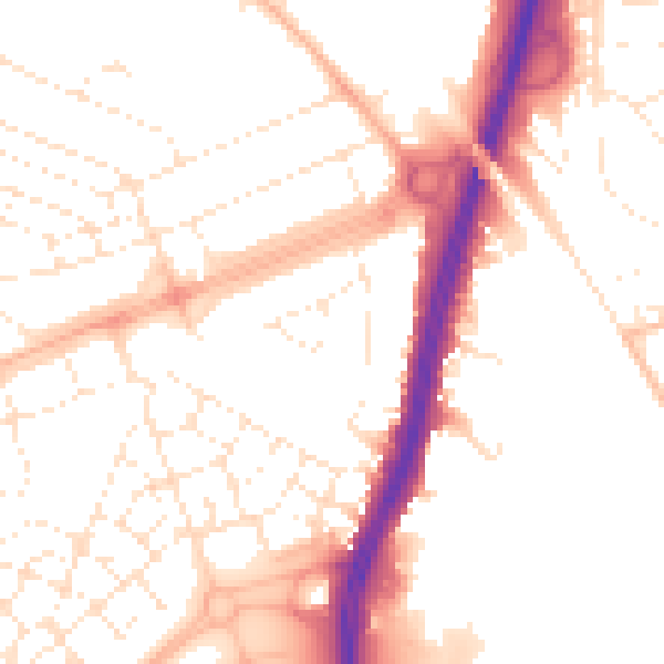
Daytime· 07:00 – 23:00
52.1dB

Night-time· 23:00 – 07:00
42.3dB