31 Ashford Road, Patchway, Bristol, BS34 5DX
About 31 Ashford Road
31 Ashford Road is a property in Patchway, Bristol, Bristol (BS34 5DX). It has council tax band A.
Last sale on file: £185,000 in May 2019.
Everything you need to know about 31 Ashford Road
The true value, the hidden risks and the full sale history, in one report.
Pick your report · every report is £14.99
One time fee only - money back guarantee

The data behind every report


Energy performance
No EPC on record
This property doesn't have an Energy Performance Certificate yet. An EPC is required to sell or let — and unlocks our automated valuation.
Get a survey for this property
Level 2 HomeBuyer Report
We've checked 10 risk factors against the available data for this property and believe a Level 2 HomeBuyer Report could be a suitable option for you.
Planning history
31 Ashford Road has no planning applications on record.
But the area is active
11 notable applications nearby — larger schemes and conversions that could reshape the street. The report maps them all.
Sales history & valuation
£185,000
Recorded with HM Land Registry.
Sales timeline
2 May 2019Most recent
£185,000
Median price across the last 5 sales in BS34 5DX: £295,000 (2024–2020).
Nearby sales in BS34 5DX
35 Ashford Road, Patchway, Bristol, BS34 5DX
Sold Jul 2024
£295,00033 Ashford Road, Patchway, Bristol, BS34 5DX
Sold May 2022
£302,50027 Ashford Road, Patchway, Bristol, BS34 5DX
Sold Apr 2022
£326,00023 Ashford Road, Patchway, Bristol, BS34 5DX
Sold Apr 2021
£270,00015 Ashford Road, Patchway, Bristol, BS34 5DX
Sold Aug 2020
£230,000
Everything you need to know about 31 Ashford Road
The true value, the hidden risks and the full sale history, in one report.
Pick your report · every report is £14.99
One time fee only - money back guarantee
The data behind every report
Similar properties nearby
1 Ashford Road, Patchway
BS34 5DX
1 Birch Close, Patchway
BS34 5SB
1 Bay Tree Close, Patchway
BS34 5EU
1 Brick Hill Way, Patchway
BS34 5UY
1 Cedar Close, Patchway
BS34 5HD
1 Donns Close, Patchway
BS34 5JW
1 Eagle Drive, Patchway
BS34 5RJ
1 Arlingham Way, Patchway
BS34 5NH
The neighbourhood at a glance
Rail-style transport is unusually close for this postcode.
Crime
6/mo
Steady year-on-year across the wider district.
Nearest stop
0.2 km
Fire Station — bus stop.
Closest school
0.4 km
Charlton Wood Primary Academy. 22 schools nearby.
Go deeper on the local area
A Local Area report breaks down crime, transport links, schools and air quality in depth.
Road noise across the postcode
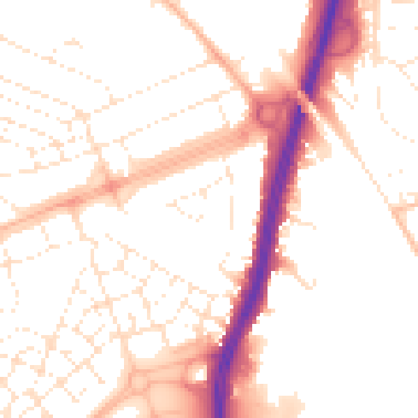
Daytime· 07:00 – 23:00
52.1dB

Night-time· 23:00 – 07:00
42.3dB