15 Chessel Drive, Patchway, Bristol, BS34 5BH
About 15 Chessel Drive
15 Chessel Drive is a semi-detached house in Patchway, Bristol, Bristol (BS34 5BH). It has a recorded floor area of 71 m² (around 764 sq ft) and construction records dating it to 2012 onwards. The latest certificate (February 2024) shows a C (score 79), near the top of the C band. Earlier certificates rated it B (November 2014); the latest reading is one band lower. Between certificates, roof efficiency dropped from Very Good to Good and window efficiency dropped from Very Good to Good. The recommended improvements would lift it to A (score 93), a 2-band jump.
Last sold in December 2014, so it's been off the market for around 11 years. At 71 m² it's 15.5% smaller than the typical home in the postcode (84 m² median across 57 EPCs). Today's modelled estimate of £295,000 is 47.8% above the 2014 sale price.
Everything you need to know about 15 Chessel Drive
The true value, the hidden risks and the full sale history, in one report.
Pick your report · every report is £14.99
One time fee only - money back guarantee

The data behind every report


Energy performance
15 Chessel Drive's carbon output is low for the local stock.
EPC Rating
Get a survey for this property
Level 2 HomeBuyer Report
We've checked 10 risk factors against the available data for this property and believe a Level 2 HomeBuyer Report could be a suitable option for you.
From £545 · Includes VAT
Planning history
15 Chessel Drive has no planning applications on record.
But the area is active
11 notable applications nearby — larger schemes and conversions that could reshape the street. The report maps them all.
Sales history & valuation
£295,000
Modelled from EPC, postcode comparables.
£199,656
Recorded with HM Land Registry.
Sales timeline
12 December 2014Most recent
£199,656
Median price across the last 5 sales in BS34 5BH: £510,000 (2024–2022).
Nearby sales in BS34 5BH
58 Chessel Drive, Patchway, Bristol, BS34 5BH
Sold Jun 2024
£529,00028 Chessel Drive, Patchway, Bristol, BS34 5BH
Sold Feb 2024
£510,00032 Chessel Drive, Patchway, Bristol, BS34 5BH
Sold Feb 2024
£510,00072 Chessel Drive, Patchway, Bristol, BS34 5BH
Sold Sept 2023
£480,00022 Chessel Drive, Patchway, Bristol, BS34 5BH
Sold Sept 2022
£495,000
Versus other Chessel Drive homes
Floor Area for 15 Chessel Drive lags the street by a wide margin.
Price per m²
£2,812
Street avg £3,051
Floor Area
71 m²
Street avg 105 m²
Habitable Rooms
5 rooms
Street avg 5 rooms
CO₂ Emissions
1.5 t/year
Street avg 1.8 t/year
Everything you need to know about 15 Chessel Drive
The true value, the hidden risks and the full sale history, in one report.
Pick your report · every report is £14.99
One time fee only - money back guarantee
The data behind every report
Similar properties nearby
1 Bay Tree Close, Patchway
BS34 5EU
1 Birch Close, Patchway
BS34 5SB
1 Ashford Road, Patchway
BS34 5DX
1 Donns Close, Patchway
BS34 5JW
1 Eagle Drive, Patchway
BS34 5RJ
1 Brick Hill Way, Patchway
BS34 5UY
1 Blakeney Road, Patchway
BS34 5LY
1 Cedar Close, Patchway
BS34 5HD
The neighbourhood at a glance
Rail-style transport is unusually close for this postcode.
Crime
6/mo
Steady year-on-year across the wider district.
Nearest stop
0.2 km
Wood Street — bus stop.
Closest school
0.2 km
Charlton Wood Primary Academy. 23 schools nearby.
Go deeper on the local area
A Local Area report breaks down crime, transport links, schools and air quality in depth.
Road noise across the postcode
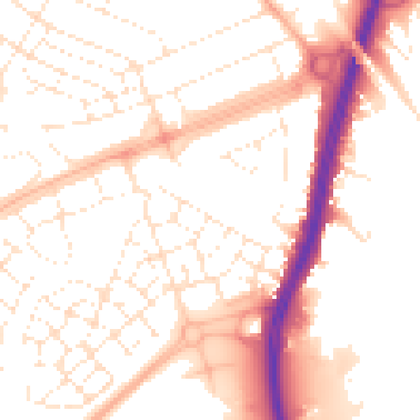
Daytime· 07:00 – 23:00
52.8dB
Night-time· 23:00 – 07:00
42.5dB