200 Gloucester Road, Patchway, Bristol, BS34 5BA
About 200 Gloucester Road
200 Gloucester Road is a mid-terrace house in Patchway, Bristol, Bristol (BS34 5BA). It has a recorded floor area of 98 m² (around 1055 sq ft), construction records dating it to 1900-1929 and council tax band B. The latest certificate (March 2017) shows a D (score 61), on the cusp of jumping into the C band. When first surveyed in September 2016 the rating was F, the property has climbed 2 bands since. Between certificates, wall efficiency went from Very Poor to Poor, window efficiency went from Average to Good and hot-water efficiency went from Very Poor to Good. The recommended improvements would lift it to B (score 87), a 2-band jump.
At 98 m² the property is well over the postcode median (72 m² across 5 EPCs), placing it in the larger end of the local stock. Across 1997–2016, sale prices on this property compounded at 11.6% per year. Today's modelled estimate of £266,000 sits 66.3% above the 2016 sale of £160,000. On a £-per-square-foot basis, the last sale (£152/sq ft) was about 28% above the typical sold price in the postcode. Last changed hands 10 years ago, in November 2016.
Everything you need to know about 200 Gloucester Road
The true value, the hidden risks and the full sale history, in one report.
Pick your report · every report is £14.99
One time fee only - money back guarantee

The data behind every report


Energy performance
Recommended upgrades on file would lift this property by multiple EPC bands.
EPC Rating
Property Improvements
Changes detected from historical EPC data
Replaced storage heaters with gas boiler
Connected to mains gas supply
Heating controls upgraded for better temperature management
Hot water system upgraded
Window efficiency improved
Wall insulation improved
More low energy lighting installed
Get a survey for this property
Level 3 Building Survey
Because the property was built before 1919 and has solid (non-cavity) walls, we believe a Level 3 building survey should be considered.
From £885 · Includes VAT
Planning history
200 Gloucester Road has no planning applications on record.
But the area is active
11 notable applications nearby — larger schemes and conversions that could reshape the street. The report maps them all.
Sales history & valuation
Price for 200 Gloucester Road has grown more than fourfold since the 1997 starting point.
£266,000
Modelled from EPC, postcode comparables and a sale-price growth of 11.6% per year over 19 years.
£160,000
Growth on file: 11.6% per year over 19 years.
Sales timeline
1 November 2016Most recent
£160,000
+39.1%over 14 years22 October 2002
£115,000
+505.3%over 5 years19 June 1997
£19,000
Median price across the last 5 sales in BS34 5BA: £240,000 (2025–2012).
Versus other Gloucester Road homes
On co₂ emissions, 200 Gloucester Road runs well behind the street norm.
Price per m²
£1,633
Street avg £2,562
Floor Area
98 m²
Street avg 81 m²
Habitable Rooms
5 rooms
Street avg 4 rooms
CO₂ Emissions
4.5 t/year
Street avg 3.2 t/year
Everything you need to know about 200 Gloucester Road
The true value, the hidden risks and the full sale history, in one report.
Pick your report · every report is £14.99
One time fee only - money back guarantee
The data behind every report
Similar properties nearby
1 Brick Hill Way, Patchway
BS34 5UY
1 Ashford Road, Patchway
BS34 5DX
1 Cedar Close, Patchway
BS34 5HD
1 Birch Close, Patchway
BS34 5SB
1 Bay Tree Close, Patchway
BS34 5EU
1 Arlingham Way, Patchway
BS34 5NH
1 Cross Field, Patchway
BS34 5GU
1 Donns Close, Patchway
BS34 5JW
The neighbourhood at a glance
Rail-style transport is unusually close for this postcode.
Crime
6/mo
Steady year-on-year across the wider district.
Nearest stop
0.1 km
Patchway Roundabout — bus stop.
Closest school
0.2 km
Holy Family Catholic Primary School. 20 schools nearby.
Go deeper on the local area
A Local Area report breaks down crime, transport links, schools and air quality in depth.
Road noise across the postcode
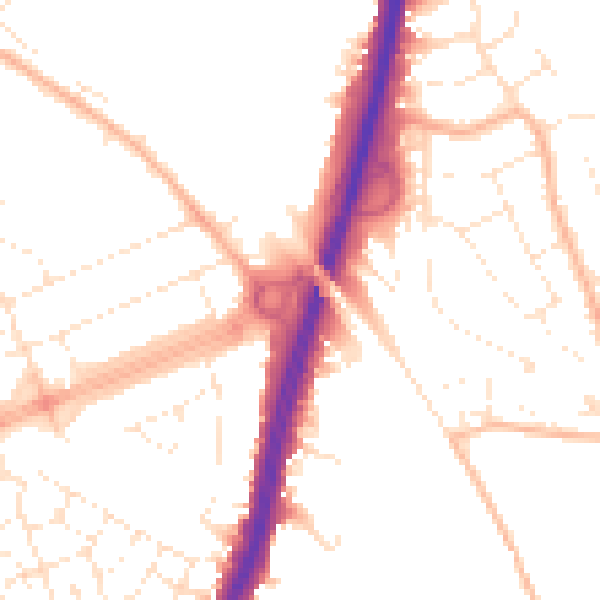
Daytime· 07:00 – 23:00
52.0dB

Night-time· 23:00 – 07:00
42.3dB