Flat, 4 Pill Street, Pill, Bristol, BS20 0EL
About Flat
Flat is a one-bedroom semi-detached house in Pill, Bristol, Bristol (BS20 0EL). It has a recorded floor area of 48 m² (around 517 sq ft), construction records dating it to 1950-1966 and council tax band A. At 48 m² this is the 3rd smallest of 6 units on EPC record in the building, where floor areas span 38–64 m². The building's EPC ratings span D to C, with this unit at the bottom. On EPC score it ranks last in the building (63 versus a best of 78). The latest certificate (November 2019) shows a D (score 63), on the cusp of jumping into the C band. The recommended improvements would push it to C (score 70).
Held since January 2002 — that's 24 years off the open market, well above the local norm. Today's modelled estimate of £159,000 sits 144.6% above the 2002 sale of £65,000. On a £-per-square-foot basis, the last sale (£126/sq ft) was about 19% below the postcode norm.
Know exactly what you're buying at Flat
Before you offer, see what the listing won't tell you, the true value, the red flags and the full history.
Valuation
against the asking price
Risks
planning & flood
Sold prices
similar homes nearby
Trends
the local market
What this property has
Inside
- Bedrooms1
- Bathrooms1
Building
- RefurbishedYes
Energy performance
EPC Rating
Planning history
Flat has no planning applications on record.
The full report still covers planning activity across the surrounding area.
Sales history & valuation
£159,000
Modelled from EPC, postcode comparables.
£65,000
Recorded with HM Land Registry.
Sales timeline
11 January 2002Most recent
£65,000
Median price across the last 3 sales in BS20 0EL: £107,000 (2024–1998).
Everything we know about Flat, in one report
What it's really worth, what could be wrong, and the planning, sales and area data in full.
- Am I paying too much?
- Is something wrong with it?
- Is the agent's story true?
- Will it hold its value?

Versus other Pill Street homes
EPC Rating for Flat lags the street by a wide margin.
EPC Rating
63 (D)
Street avg 74 (C)
Floor Area
48 m²
Street avg 53 m²
CO₂ Emissions
2.5 t/year
Street avg 1.6 t/year
Habitable Rooms
2 rooms
Street avg 3 rooms
Similar properties nearby
Flat 2, 3 New Road, Pill
BS20 0AD
Flat 1, 3 New Road, Pill
BS20 0AD
The Old Chapel, Apartment 3, 2 Myrtle Hill, Pill
BS20 0FG
Flat 3, 12 Church Path Road, Pill
BS20 0EE
Flat, 7 Station Road, Pill
BS20 0AB
Flat 2, 12 Church Path Road, Pill
BS20 0EE
Garden Flat, 8 New Road, Pill
BS20 0AD
The Old Chapel, Apartment 2, 2 Myrtle Hill, Pill
BS20 0FG
The neighbourhood at a glance
Rail-style transport is unusually close for this postcode.
Crime
5/mo
Steady year-on-year across the wider district.
Nearest stop
0.0 km
Heywood Road — bus stop.
Closest school
0.4 km
Crockerne Church of England Primary School. 11 schools nearby.
Go deeper on the local area
The full report breaks down crime, transport links, schools and air quality in depth.
Road noise across the postcode
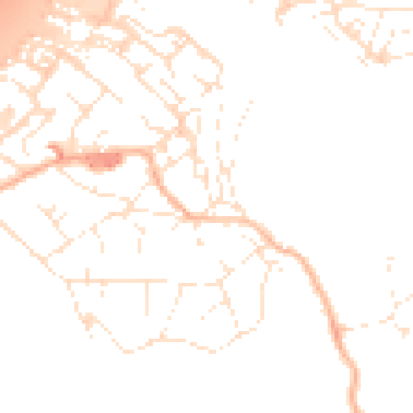
Daytime· 07:00 – 23:00
50.3dB

Night-time· 23:00 – 07:00
40.8dB