19 Springfield Road, Pill, Bristol, BS20 0DP
About 19 Springfield Road
19 Springfield Road is a detached house in Pill, Bristol, Bristol (BS20 0DP). It has a recorded floor area of 97 m² (around 1044 sq ft), construction records dating it to 1983-1990 and council tax band D. The latest certificate (March 2014) returns a B (score 83), comfortably above the UK average. The latest certificate is from March 2014, so improvements made since then won't be reflected.
Untraded for 20 years, with the last transfer in August 2006. On energy efficiency it sits in the top 10% of properties in this postcode. Today's modelled estimate of £354,000 sits 64.7% above the 2006 sale of £215,000. On a £-per-square-foot basis, the last sale (£206/sq ft) was about 31.1% above the typical sold price in the postcode. One planning record on file: an extension refused in 2003.
Know exactly what you're buying at 19 Springfield Road
Before you offer, see what the listing won't tell you, the true value, the red flags and the full history.
Valuation
against the asking price
Risks
planning & flood
Sold prices
similar homes nearby
Trends
the local market
Energy performance
19 Springfield Road ranks among the most efficient homes in the postcode for energy use.
EPC Expired
This certificate is over 10 years old and is no longer valid.Expired 02 Mar 2024
EPC Rating
Planning history
- Jun 2003ConservatoryIn report
Extension: Rear of property
Erection of a rear conservatory
Extension- Reference
- TEMP/03/2560
What's in 19 Springfield Road, Pill, Bristol, BS20 0DP's planning history?
Refusals, disputes and full decisions on this property and nearby, in the report.
Sales history & valuation
19 Springfield Road valuation sits well clear of the typical sold price in this postcode.
£354,000
Modelled from EPC, postcode comparables.
£215,000
Recorded with HM Land Registry.
Sales timeline
31 August 2006Most recent
£215,000
Median price across the last 5 sales in BS20 0DP: £280,000 (2024–2018).
Nearby sales in BS20 0DP
10 Springfield Road, Pill, Bristol, BS20 0DP
Sold Apr 2024
£310,00012 Springfield Road, Pill, Bristol, BS20 0DP
Sold Nov 2023
£350,0008 Springfield Road, Pill, Bristol, BS20 0DP
Sold Jun 2022
£280,00011 Springfield Road, Pill, Bristol, BS20 0DP
Sold Jun 2021
£256,5007 Springfield Road, Pill, Bristol, BS20 0DP
Sold Oct 2018
£270,000
Everything we know about 19 Springfield Road, in one report
What it's really worth, what could be wrong, and the planning, sales and area data in full.
- Am I paying too much?
- Is something wrong with it?
- Is the agent's story true?
- Will it hold its value?

Versus other Springfield Road homes
On epc rating, 19 Springfield Road stands well clear of the street.
Price per m²
£2,216
Street avg £2,372
Floor Area
97 m²
Street avg 111 m²
Habitable Rooms
5 rooms
Street avg 5 rooms
CO₂ Emissions
1.3 t/year
Street avg 5.3 t/year
Similar properties nearby
1 Hardwick Road, Pill
BS20 0DG
1 Davin Crescent, Pill
BS20 0LD
1 Brinsmead Crescent, Heywood Road, Pill
BS20 0NQ
1 Anchor Way, Pill
BS20 0JY
1 Crockerne Drive, Pill
BS20 0LF
1 Beechwood Road, Easton In Gordano
BS20 0NA
1 Ham Green, Pill
BS20 0EY
1 Bow Cottages, Water Lane, Pill
BS20 0NJ
The neighbourhood at a glance
Rail-style transport is unusually close for this postcode.
Crime
5/mo
Steady year-on-year across the wider district.
Nearest stop
0.1 km
Station Road — bus stop.
Closest school
0.3 km
Crockerne Church of England Primary School. 11 schools nearby.
Go deeper on the local area
The full report breaks down crime, transport links, schools and air quality in depth.
Road noise across the postcode
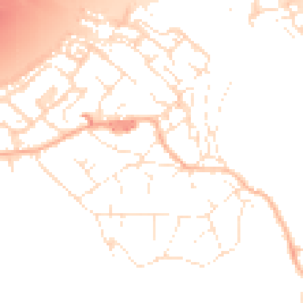
Daytime· 07:00 – 23:00
51.4dB

Night-time· 23:00 – 07:00
41.9dB