242a, Flat 2, High Street, Beckenham, BR3 1EN
About 242a
242a is an end-of-terrace house in Beckenham (BR3 1EN). It has a recorded floor area of 51 m² (around 549 sq ft) and construction records dating it to 1900-1929. The latest certificate (September 2024) shows a C (score 70). The rating has held steady at C across 2 certificates since July 2014. Between certificates, lighting went from Very Poor to Poor; while wall efficiency dropped from Very Good to Good and roof efficiency dropped from Good to Average.
Know exactly what you're buying at 242a
Before you offer, see what the listing won't tell you, the true value, the red flags and the full history.
Already flagged here
Valuation
against the asking price
Risks
planning & flood
Sold prices
similar homes nearby
Trends
the local market
Energy performance
EPC Rating
Planning history
242a has no planning applications on record.
Notable planning nearby
11applications of note in the surrounding area
We flagged 2 things worth checking at 242a
Independent checks surfaced things a buyer would want to understand before offering. The report explains each one in full, with the underlying data and what to ask.
- Signs of HMO activity in the area
- Larger development activity nearby
30-day money-back guarantee
Sales history & valuation
242a has no Land Registry sales on file, suggesting it has stayed in the same hands since registration began.
£263,000
Modelled from EPC, postcode comparables.
No sales recorded with HM Land Registry
That can mean the property has never traded since the registry began publishing in 1995, was a new build that hasn't been registered yet, or is held in the same hands long-term.
Median price across the last 5 sales in BR3 1EN: £390,000 (2024–2009).
Nearby sales in BR3 1EN
Everything we know about 242a, in one report
What it's really worth, what could be wrong, and the planning, sales and area data in full.
What we flagged
- Signs of HMO activity in the area
- Larger development activity nearby

Versus other High Street homes
242a is notably below the street on floor area.
EPC Rating
70 (C)
Street avg 62 (D)
Floor Area
51 m²
Street avg 59 m²
CO₂ Emissions
1.9 t/year
Street avg 2.9 t/year
Habitable Rooms
2 rooms
Street avg 3 rooms
Similar properties nearby
132a, Flat 1, High Street
BR3 1EB
276a, Flat 1, High Street
BR3 1DY
132a, Flat 3, High Street
BR3 1EB
199 203, Flat 1, High Street
BR3 1AH
132a, Flat 2, High Street
BR3 1EB
199 203, Flat 2, High Street
BR3 1AH
16 18, Flat 5, High Street
BR3 1AY
Adelaide Court, Flat 1, 30 Copers Cope Road
BR3 1TT
The neighbourhood at a glance
Rail-style transport is unusually close for this postcode.
Crime
9/mo
Rising year-on-year across the wider district.
Nearest stop
0.0 km
Beckenham High St / Kelsey Sq — bus stop.
Closest school
0.4 km
Harris Primary Academy Beckenham Green. 44 schools nearby.
Go deeper on the local area
The full report breaks down crime, transport links, schools and air quality in depth.
Road noise across the postcode
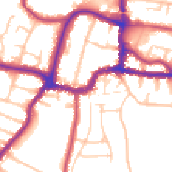
Daytime· 07:00 – 23:00
53.5dB

Night-time· 23:00 – 07:00
44.4dB