9 College Close, Portslade, Brighton, BN41 2WT
About 9 College Close
9 College Close is a property in Portslade, Brighton, Brighton (BN41 2WT). It has council tax band C.
Untraded for 23 years, with the last transfer in February 2003.
Know exactly what you're buying at 9 College Close
Before you offer, see what the listing won't tell you, the true value, the red flags and the full history.
Already flagged here
Valuation
against the asking price
Risks
planning & flood
Sold prices
similar homes nearby
Trends
the local market
Energy performance
No EPC on record
This property doesn't have an Energy Performance Certificate yet. An EPC is required to sell or let — and unlocks our automated valuation.
Planning history
9 College Close has no planning applications on record.
Notable planning nearby
2applications of note in the surrounding area
We flagged 1 thing worth checking at 9 College Close
Independent checks surfaced things a buyer would want to understand before offering. The report explains each one in full, with the underlying data and what to ask.
- Larger development activity nearby
30-day money-back guarantee
Sales history & valuation
£152,000
Recorded with HM Land Registry.
Sales timeline
7 February 2003Most recent
£152,000
Median price across the last 5 sales in BN41 2WT: £197,000 (2024–1998).
Everything we know about 9 College Close, in one report
What it's really worth, what could be wrong, and the planning, sales and area data in full.
What we flagged
- Larger development activity nearby

Similar properties nearby
1 Bush Farm Drive, Portslade
BN41 2GY
1 Compass Court, Oakdene Crescent, Portslade
BN41 2SD
1 Cornford Close, Portslade
BN41 2JE
1 Chrisdory Road, Portslade
BN41 2WQ
1 Badger Close, Portslade
BN41 2EQ
1 Clover Way, Portslade
BN41 2ET
1 Chalky Road, Portslade
BN41 2WF
1 Coach House Mews, South Street, Portslade
BN41 2LE
The neighbourhood at a glance
Crime
4/mo
Steady year-on-year across the wider district.
Nearest stop
0.1 km
College Close — bus stop.
Closest school
0.1 km
Portslade Aldridge Community Academy. 15 schools nearby.
Go deeper on the local area
The full report breaks down crime, transport links, schools and air quality in depth.
Road noise across the postcode
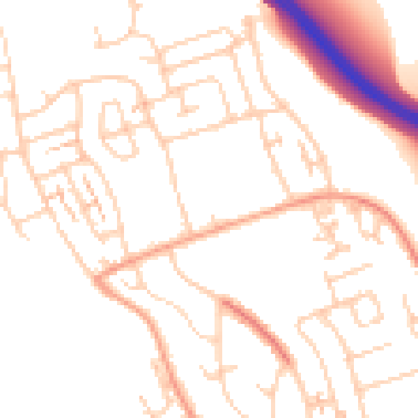
Daytime· 07:00 – 23:00
50.1dB

Night-time· 23:00 – 07:00
39.8dB