5 Elm Road, Portslade, Brighton, BN41 1SA
About 5 Elm Road
5 Elm Road is a three-bedroom mid-terrace house in Portslade, Brighton, Brighton (BN41 1SA). It has a recorded floor area of 125 m² (around 1345 sq ft), construction records dating it to 1900-1929 and council tax band C. The latest certificate (September 2025) shows a C (score 78), near the top of the C band. When first surveyed in December 2014 the rating was E, the property has climbed 2 bands since. Between certificates, wall efficiency went from Very Poor to Good, roof efficiency went from Very Poor to Good and window efficiency went from Average to Good. The recommended improvements would push it to B (score 82).
At 125 m² the property is well over the postcode median (77 m² across 27 EPCs), placing it in the larger end of the local stock. Across 1998–2015, sale prices on this property compounded at 9.1% per year. Today's modelled estimate of £442,000 sits 84.2% above the 2015 sale of £240,000. One planning record on file: an extension approved in 2021. Past consents include an extension, meaningful when judging how the property has evolved. On the market in March 2015 and unlisted since — roughly 11 years.
Know exactly what you're buying at 5 Elm Road
Before you offer, see what the listing won't tell you, the true value, the red flags and the full history.
Already flagged here
Valuation
against the asking price
Risks
planning & flood
Sold prices
similar homes nearby
Trends
the local market
What this property has
Inside
- Bedrooms3
- Dining roomYes
Outside
- Private gardenSouth-facing
Building
- RefurbishedYes
Energy performance
EPC Rating
Property Improvements
Changes detected from historical EPC data
Heating controls upgraded for better temperature management
Hot water efficiency improved
High performance glazing installed
Wall insulation improved
Roof insulation improved
Floor insulation added or improved
More low energy lighting installed
Planning history
5 Elm Road has an approved single-storey rear extension on the planning record.
- Jun 2021ExtensionFullIn report
Extension: Single storey · Rear of property
Erection of a single storey rear infill extension.
- Documents
- 10 docs on file
- Reference
- BH2021/01917
We flagged 2 things worth checking at 5 Elm Road
Independent checks surfaced things a buyer would want to understand before offering. The report explains each one in full, with the underlying data and what to ask.
- Signs of HMO activity in the area
- Larger development activity nearby
30-day money-back guarantee
Sales history & valuation
5 Elm Road has more than quadrupled in price since its earliest registered sale in 1998.
£442,000
Modelled from EPC, postcode comparables and a sale-price growth of 9.1% per year over 16 years.
£240,000
Growth on file: 9.1% per year over 16 years.
Sales timeline
12 March 2015Most recent
£240,000
+313.8%over 16 years26 October 1998
£58,000
Median price across the last 5 sales in BN41 1SA: £374,000 (2024–2020).
Nearby sales in BN41 1SA
6 Elm Road, Portslade, Brighton, BN41 1SA
Sold Sept 2024
£345,00017 Elm Road, Portslade, Brighton, BN41 1SA
Sold Mar 2024
£374,00031 Elm Road, Portslade, Brighton, BN41 1SA
Sold Apr 2023
£425,0007 Elm Road, Portslade, Brighton, BN41 1SA
Sold Mar 2023
£445,00019 Elm Road, Portslade, Brighton, BN41 1SA
Sold Nov 2019
£282,000
Everything we know about 5 Elm Road, in one report
What it's really worth, what could be wrong, and the planning, sales and area data in full.
What we flagged
- Signs of HMO activity in the area
- Larger development activity nearby

Versus other Elm Road homes
On epc rating, 5 Elm Road stands well clear of the street.
Price per m²
£1,920
Street avg £3,017
Floor Area
125 m²
Street avg 85 m²
Habitable Rooms
4 rooms
Street avg 4 rooms
CO₂ Emissions
2.6 t/year
Street avg 3.6 t/year
Similar properties nearby
1 Links Road, Portslade
BN41 1XH
1 Elm Road, Portslade
BN41 1SA
1 Hurst Crescent, Portslade
BN41 1SG
1 Bampfield Street, Portslade
BN41 1SE
1 Gardner Road, Portslade
BN41 1PN
1 Gardener Street, Portslade
BN41 1SX
1 Brambledean Road, Portslade
BN41 1LP
1 Garden Close, Portslade
BN41 1XL
The neighbourhood at a glance
Rail-style transport is unusually close for this postcode.
Crime
4/mo
Steady year-on-year across the wider district.
Nearest stop
0.0 km
Shelldale Road — bus stop.
Closest school
0.3 km
Brackenbury Primary School. 20 schools nearby.
Go deeper on the local area
The full report breaks down crime, transport links, schools and air quality in depth.
Road noise across the postcode
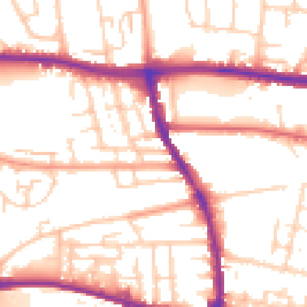
Daytime· 07:00 – 23:00
53.4dB

Night-time· 23:00 – 07:00
43.7dB