19 Elm Road, Portslade, Brighton, BN41 1SA
About 19 Elm Road
19 Elm Road is a two-bedroom mid-terrace house in Portslade, Brighton, Brighton (BN41 1SA). It has a recorded floor area of 81 m² (around 872 sq ft), construction records dating it to 1900-1929 and council tax band C. The latest certificate (April 2018) shows a D (score 63), on the cusp of jumping into the C band. The recommended improvements would lift it to B (score 86), a 2-band jump. Our model identifies extension potential, subject to local planning policy.
4 planning records sit against the property, 2 approved, 2 refused. Past consents include an extension, meaningful when judging how the property has evolved. Across 2000–2019, sale prices on this property compounded at 6.7% per year. Today's modelled estimate of £363,000 is 28.7% above the 2019 sale price. On a £-per-square-foot basis, the last sale (£323/sq ft) was about 57.4% above the typical sold price in the postcode. Last sale on file: £282,000 in November 2019.
Know exactly what you're buying at 19 Elm Road
Before you offer, see what the listing won't tell you, the true value, the red flags and the full history.
Already flagged here
Valuation
against the asking price
Risks
planning & flood
Sold prices
similar homes nearby
Trends
the local market
What this property has
Inside
- Bedrooms2
- Bathrooms1
- Dining roomYes
Outside
- Private gardenRear
Building
- Heating systemGas
- Extension potentialPossible
Energy performance
Recommended upgrades on file would lift this property by multiple EPC bands.
EPC Rating
Planning history
A a single-storey side extension application was refused at 19 Elm Road in 2022.
- Jan 2022ExtensionOutlineIn report
Extension: Side of property
Certificate of Lawfullness for the proposed development of a single storey side extension
- Agent
- jnf architecture limited
- Documents
- 8 docs on file
- Reference
- BH2022/00102
- Jan 2022ExtensionOutlineIn report
Extension: Single storey · Side of property
Certificate of Lawfulness for the proposed erection of a single storey side extension, with fenestration alteration.
- Agent
- Mr Nuno Franco
- Documents
- 7 docs on file
- Reference
- BH2021/03939
We flagged 3 things worth checking at 19 Elm Road
Independent checks surfaced things a buyer would want to understand before offering. The report explains each one in full, with the underlying data and what to ask.
- Signs of HMO activity in the area
- Larger development activity nearby
- A planning decision worth checking
30-day money-back guarantee
Sales history & valuation
Sale price has grown by over 3x since 2000.
£363,000
Modelled from EPC, postcode comparables and a sale-price growth of 6.7% per year over 20 years.
£282,000
Growth on file: 6.7% per year over 20 years.
Sales timeline
20 November 2019Most recent
£282,000
+261.5%over 19 years13 March 2000
£78,000
Median price across the last 5 sales in BN41 1SA: £374,000 (2024–2020).
Nearby sales in BN41 1SA
6 Elm Road, Portslade, Brighton, BN41 1SA
Sold Sept 2024
£345,00017 Elm Road, Portslade, Brighton, BN41 1SA
Sold Mar 2024
£374,00031 Elm Road, Portslade, Brighton, BN41 1SA
Sold Apr 2023
£425,0007 Elm Road, Portslade, Brighton, BN41 1SA
Sold Mar 2023
£445,00037 Elm Road, Portslade, Brighton, BN41 1SA
Sold May 2018
£285,000
Everything we know about 19 Elm Road, in one report
What it's really worth, what could be wrong, and the planning, sales and area data in full.
What we flagged
- Signs of HMO activity in the area
- Larger development activity nearby
- A planning decision worth checking

Versus other Elm Road homes
On habitable rooms, 19 Elm Road runs well behind the street norm.
Price per m²
£3,481
Street avg £2,930
Floor Area
81 m²
Street avg 88 m²
Habitable Rooms
3 rooms
Street avg 4 rooms
CO₂ Emissions
3.7 t/year
Street avg 3.5 t/year
Similar properties nearby
1 Albion Street, Portslade
BN41 1DQ
1 Barnes Road, Portslade
BN41 1SY
1 Park Crescent, Portslade
BN41 1SR
1 Garden Close, Portslade
BN41 1XL
1 Brambledean Road, Portslade
BN41 1LP
1 Gardener Street, Portslade
BN41 1SX
1 Eastbrook Road, Portslade
BN41 1LN
1 Bampfield Street, Portslade
BN41 1SE
The neighbourhood at a glance
Rail-style transport is unusually close for this postcode.
Crime
4/mo
Steady year-on-year across the wider district.
Nearest stop
0.0 km
Shelldale Road — bus stop.
Closest school
0.3 km
Brackenbury Primary School. 20 schools nearby.
Go deeper on the local area
The full report breaks down crime, transport links, schools and air quality in depth.
Road noise across the postcode
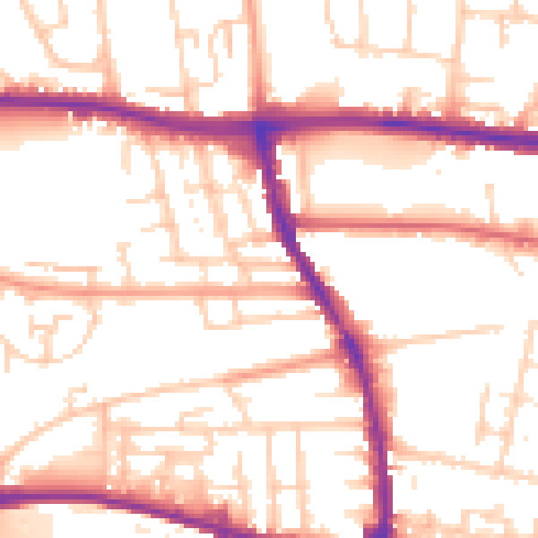
Daytime· 07:00 – 23:00
53.4dB

Night-time· 23:00 – 07:00
43.7dB